It seems that our string of gorgeous days came to an end yesterday. When we woke up it was cold and rainy. The rain turned to sleet and then snow, which fell in little balls rather than flakes.


Needless to say, we stayed indoors, kept warm by our propane heater. The problem is that since we were home we used more battery power and without any sun to recharge them we had to run the very loud generator for a while to give the batteries a boost.
The bad weather and the not so great forecast has also made us change our plans. We were heading to Grand Teton National Park on Monday but the forecast there is calling for rain or rain and snow all week with highs around 10C and lows around 0 to –1C. Since I had planned to stay in another no hookup campground, it would not be a pleasant week. There are full hookup commercial campgrounds in the area but they run in the $80 –$100 a night. I can’t get myself to spend that if I end up just staying inside.
Instead we are going to a much less expensive full hookup campground on the eastern edge of Idaho. At worst we spend the week inside in comfort. If there are some nice days we can explore that area and make day trips over to Teton. I was actually lucky to find a place as next weekend is Memorial Day here.
Today the forecast called for partly sunny. When we woke up it was clear but clear nights at this altitude mean cold. It was 4C in the RV. Just to make it easier to even get out of bed I broke out the big gun and ran the propane furnace for a while. It uses a lot of battery and a lot of propane but it really heats the place up fast. We the use the smaller much more efficient propane catalytic heater to maintain the temperature.
The plan was to first stop at Little Brush Creek Cave, then take the Red Cloud Scenic Backway to Dry Fork Canyon and the McConkie Ranch to see the petroglyphs. Finally we would go to Vernal and do some shopping before heading home. It turned out that the Backway was closed partway along so we had to backtrack to the highway to continue.
The plan.

The actual

And as it turned out we had a bit of every kind of weather today. Sunny and cool when we left, cloudy with a bit of snow at the cave, a lot of snow on the Backway, at first, it was hot at the petroglyphs and then cooler with a few drops of rain and snow pellets. Finally it was nice and warm down in Vernal.
On the way I saw a moose running across a field towards the highway. Before I could get a picture it was in the trees We crept along the side of the highway until we could get this shot.

Little Brush Creek Cave is just off the highway on a short dirt road. After you park it is just a short steep climb down to the cave.
I don’t think any of the pictures or even the photospheres really captured the feeling of being there. It was a really interesting place.
This is the view before you start down the steep section.

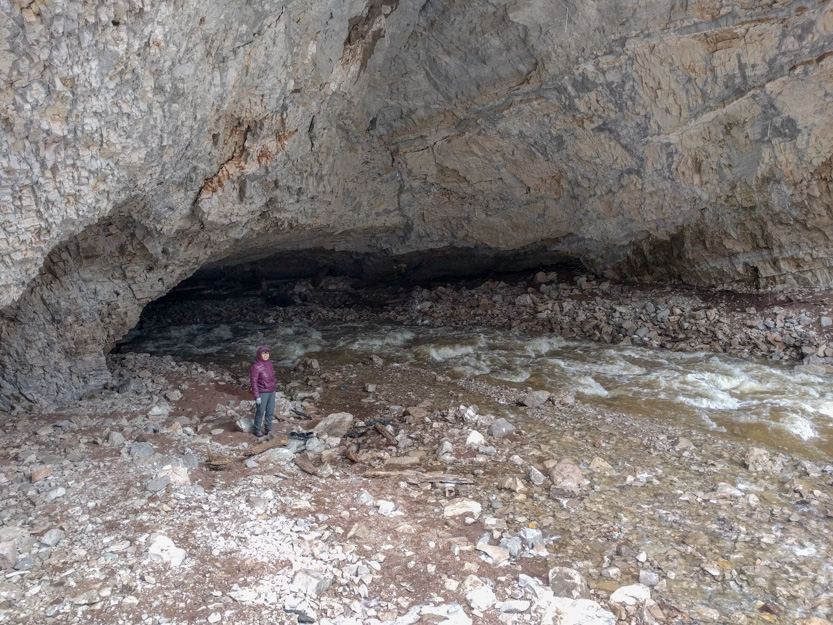
The creek curves into the big opening at the bottom left and in about 100 feet dives down into the darkness. The dark slash near the center of the picture is the entrance for the cavers. This is actually the longest cave in Utah, at about 6 miles.
The path slopes down the wall to the right of the picture above but you first have to climb down here.

It is easier than it looks but it is still a bit intimidating.
A view from the bottom of the trail.

The caver entrance has a gate across it. The only way to get to it is to cross the raging creek. I read that it is not recommended to enter the cave in the spring due to all the water.

The plunge into darkness.

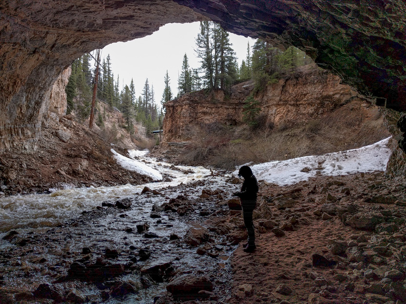
Another couple and their son were there and really wanted to get over and into the cave. They never made it.

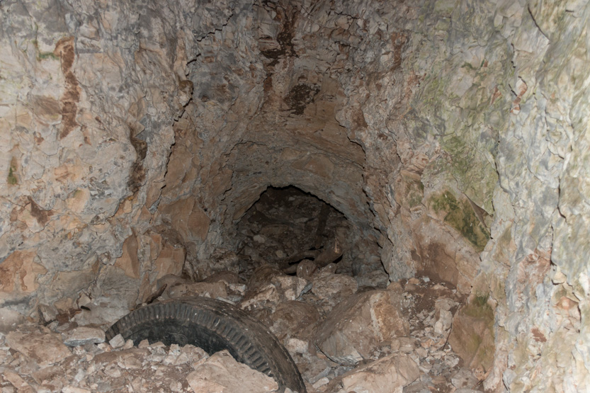
Just inside the entrance there was an alcove off to the left.


Down at the bottom there looked like there might be another entrance but you could not pay me enough money to go in there.
Next up was the Red Cloud Scenic Backway. It starts at the highest point on the highway (near 8300 feet) and follows the ridge before heading into some scenic canyons before looping down towards Vernal. Alas, it was not to be. I guess we are just too early.
It started out to not too bad.
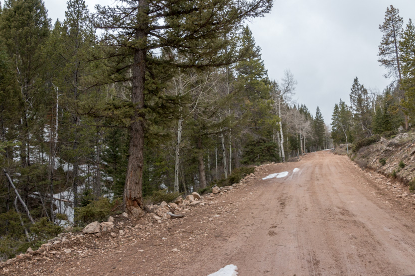
Then the snow started encroaching on the road.

There were a few spots where the CRV didn’t have the clearance to follow the ruts through the snow. So I just climbed on top and powered through in AWD.

As you can see it started snowing.

We finally got to the unexpected road closed sign. I guess the road climbs up higher and is still too snow covered.
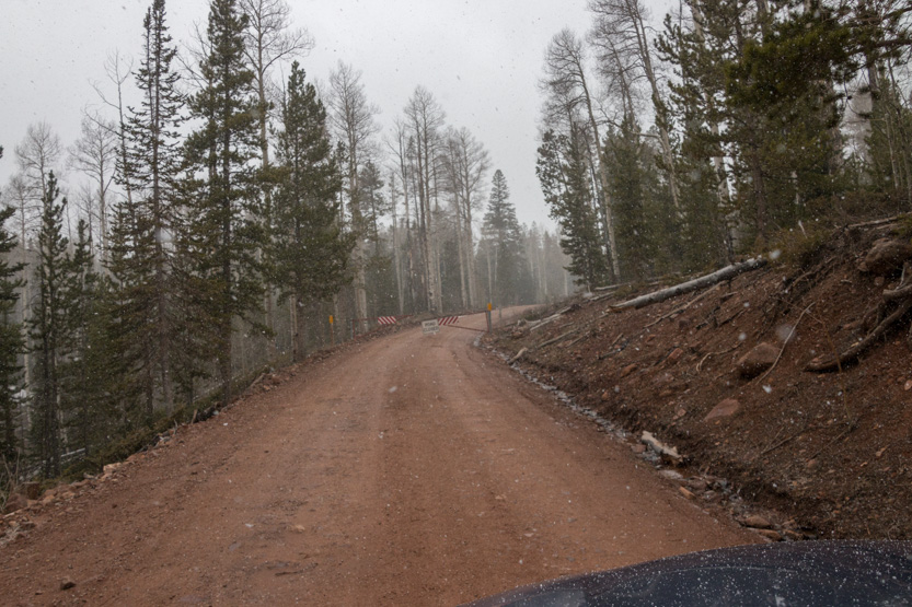
Heading back.


Back on the highway, before we hit the switchbacks that take us down, we could see that Vernal seems to be in the sun.

McConkie Ranch is a private ranch backing onto this cliff that has a huge number of petroglyphs on it. All they ask is that you make a $5 donation and then you can park and follow the trail along the base of the cliff.

I think this is approximately where the path goes.

The parking lot has a fence made of antlers.

Up we go. As you can see from Jennie’s coat it was a bit cool but the trail was steep and rocky so we quickly warmed up.
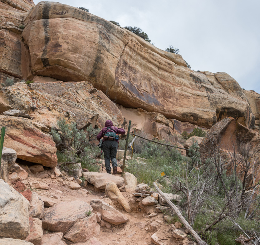
The petroglyphs at the beginning were fairly simple. The more complex ones were at the far end of the trail.

Sometimes, you knew there was something there but it was hard to see.


There were no signs on the trail so I was never sure when and where to look. Inside the donation cabin I took a picture of this crude map. It wasn’t much help.


Getting more complicated.


There were bird’s nests high up in the cracks.


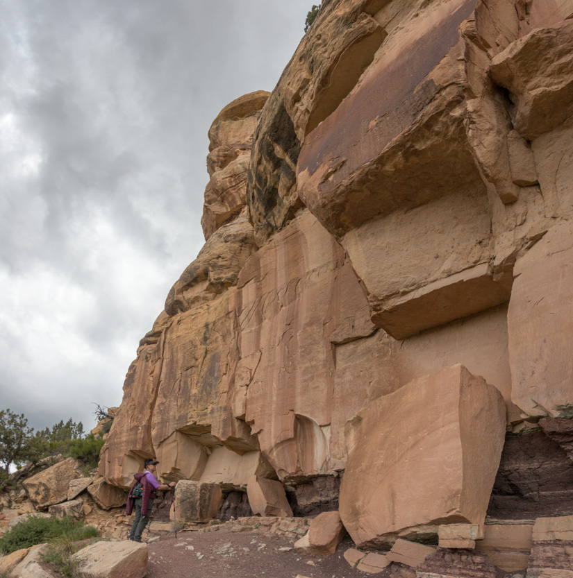

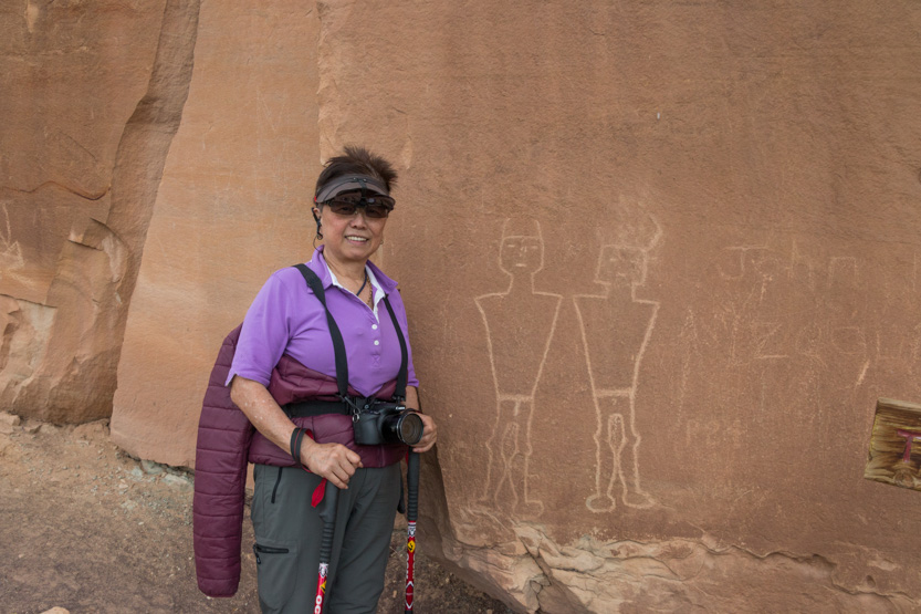
The Knobby Kneed Twins (and some idiot’s scratched in name) at the end of the trail.
Heading back.

We drove out a little of this end of the Red Cloud Backway.

We didn’t go far before turning back.
There were a surprising number of large homes out here.

Who needs 5 garages? The rest of the house flowed down into the valley.
On the way back to Vernal we did a quick stop at the “Remember the Maine” site.


I am not really up on my American history (and am too tired to look it up) but I think the Maine was a battleship that was sunk.
From there it was into Vernal for some groceries and then home.
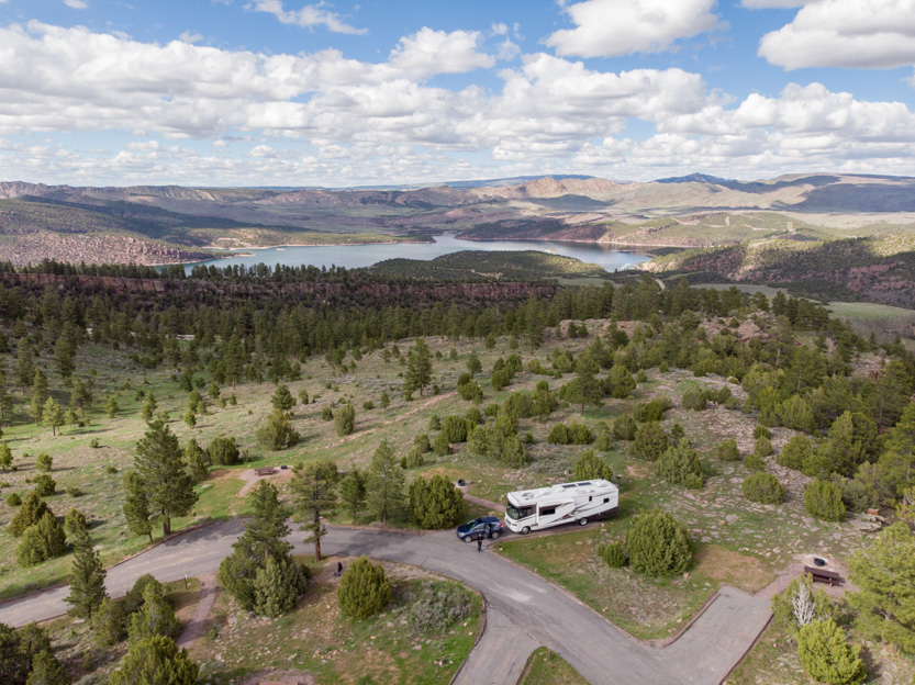
Since there is still no one in the campground I couldn’t resist a drone shot of our site.
No comments:
Post a Comment