Yesterday we made the almost 2 hour move southwest to Twin Falls. It was a very easy drive. It was a long gentle downhill as we dropped 2000 feet in elevation from the 5800 feet at Craters of the Moon.
When planning the trip I was going to stay in one of two first come first serve campgrounds. On re-evaluating last week, they both had some strikes against them. The first one had no sewer hookup. We plan to be here for 9 days and that is a bit of a stretch, especially if it is hot and we need a lot of showers. The other had full hookups but was at a fairground and if an event was on there might be a lot of “farm” smells around. Both also didn’t have WIFI so we would be using our own cellular hotspot.
So Friday I called one campground in town but they were full. When I called Twin Falls 93 RV Park, they had a spot. They are just a little way out of town and there is some highway noise but the WIFI seems good and the place is very neat and clean. It’s almost too clean as it seems a bit sterile But after a long day we mostly stay inside anyway.

After we set up, and had lunch we headed into to town to check out the visitor’s center. To get here from the north you must cross the very deep and wide Snake River Canyon on the Perrine Bridge. It is 1500 feet long and 480 feet above the river. The visitor’s center overlooks it.


Looking down the canyon to the west the canyon floor is taken up by two golf courses.
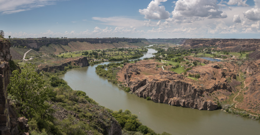
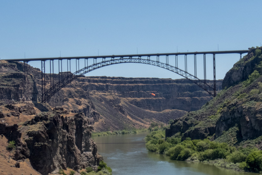
Besides the bridge being one of the highest in the country, it’s main claim to fame is that it allows BASE jumpers to hurl themselves off the bridge with their parachutes all year and without any permit.

Back at the RV Park, we are in the middle of a very wide flat plain which gave us a great sunset.

This morning we decided to give the CRV a car wash. We had passed by this place yesterday. They know how to do car washes here. There were three entry lanes for you to pay with an attendant to get you set. Going through the wash the car emerged the cleaned and shiniest I have ever seen it since it was new.

And beside it they have about 20 bays where you can use the vacuums to clean the inside, with baskets full of cloths to wipe the car down. There is even a separate vacuum on each side of your car so the hose doesn’t have to go over or around the car. They also give you a code so that if the car gets dirty in the next 4 days you can come back for a free rewash. I was very impressed and the car has never looked better.
Today we went back near the visitor’s center. First was a walk along the canyon rim (in red) to look down on Perrine Coulee Falls. Then down into the canyon to walk up (in blue) to the base of the falls. Next a short hike (in orange) up a rocky outcrop over the river to have lunch. And then finally up to check out the bridge (in green).
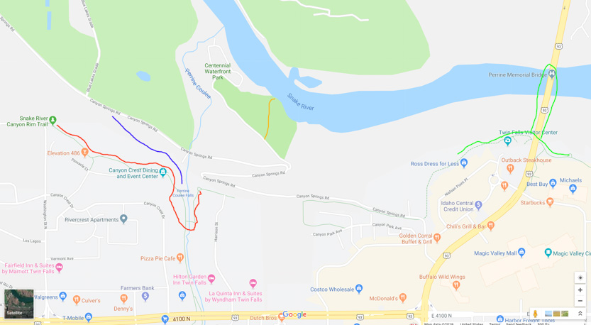
And the Google Earth view or our day.

At the rim trailhead (on the right) there was a water fountain that we tried to use but as soon as you turned it on you got a face full.

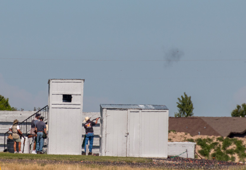
Weirdly, right next to the trailhead there was a skeet shooting range right on the canyon edge. We could hear the shotgun blasts echoing all day, even by the bridge.

Got one.
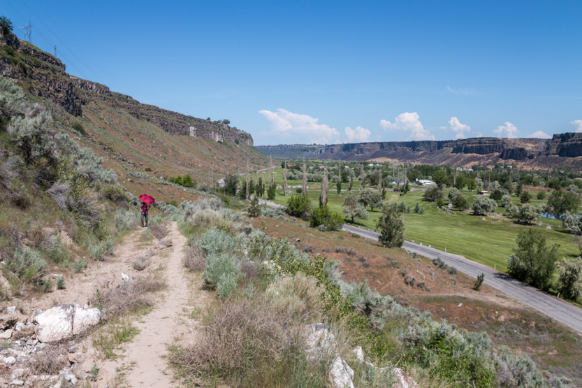
The view from the trailhead, looking towards the bridge.

The wide view.
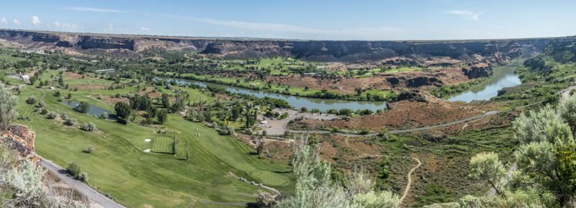
Lots of little ants scurrying around the golf course.


It was only a short walk along a paved path to the viewpoint at the head of the coulee (I guess that is what it is called) for Perrine Coulee Falls.

The photosphere.
We saw another viewpoint on the other side so we continued around and over the creek.
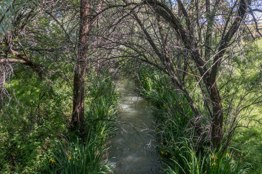
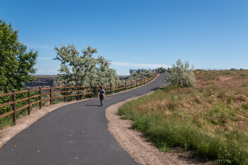
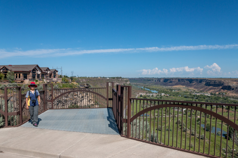
But the angle was all wrong to actually see the falls.


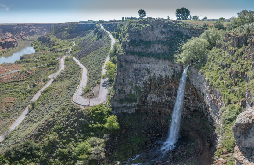
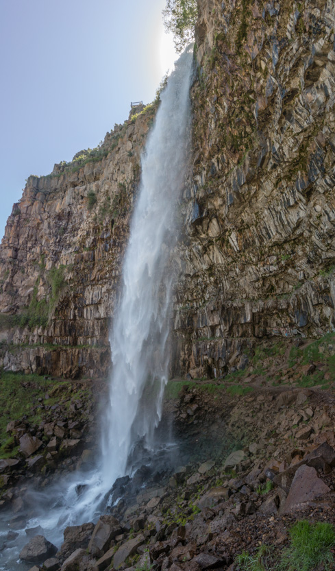
But this angle did allow to see the trail at the bottom that leads up to the base, so after returning to the car and driving down we did that short gently sloping trail.
You can see the second viewpoint above the falls.

The path continues behind the falls.


Looking straight up.

Jennie’s sun umbrella served a dual purpose today. She is just barley visible in her pink top. It wasn’t really bad behind the falls but I sure got damp.
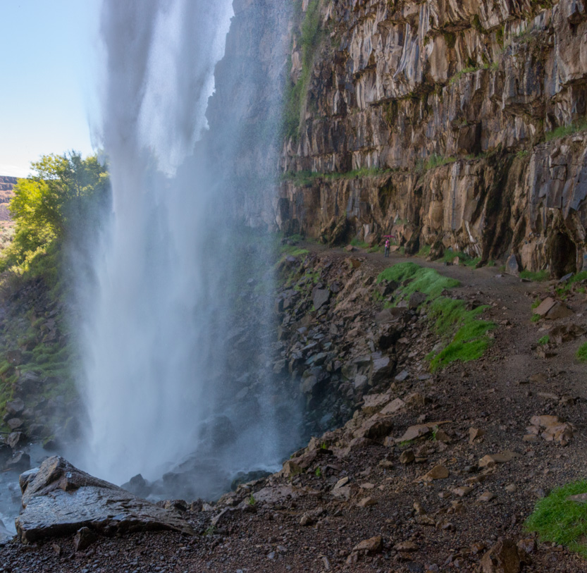

You must check out these photospheres. From the side and from behind the falls.
After way too many pictures of the falls, it was back to the car and then a little closer to the river to climb up for our lunch view.
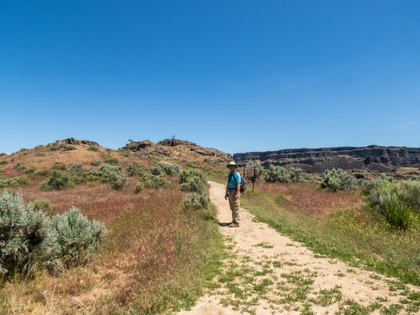
The falls in the background.
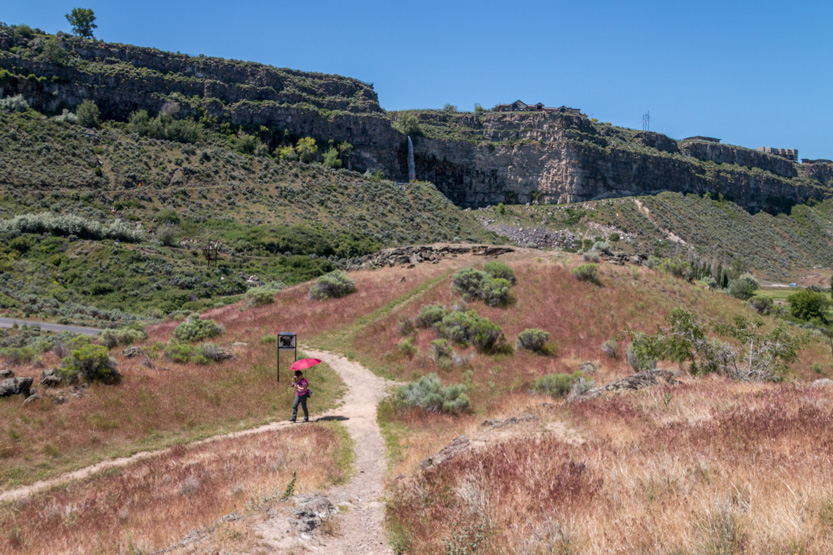
Part way up the outcrop.
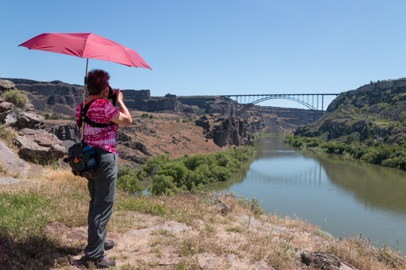
And lunch with a view at the top.

Me taking this photosphere.

You can get kayaks, at the marina behind us, to paddle up to the bridge.


These people brought along a floating cooler.

Jennie caught someone jumping from the bridge.
Back down to the car.
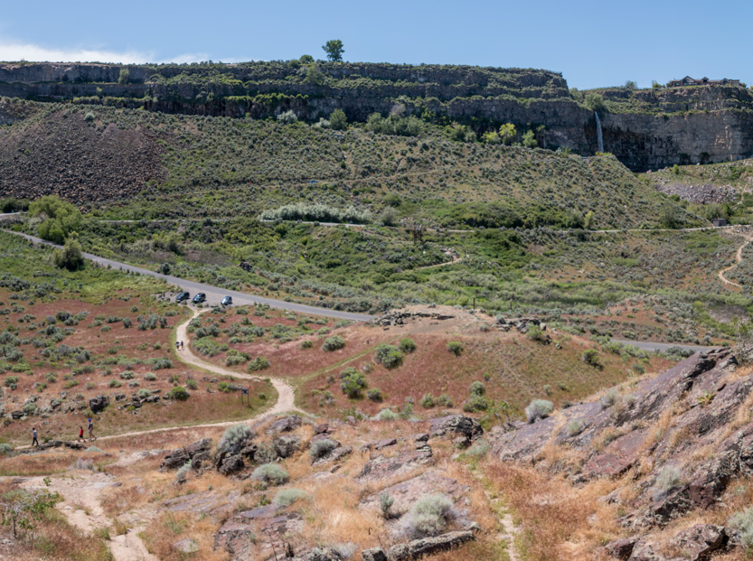
Up on the canyon wall nearer the bridge we had noticed another small waterfall.

We drove up to the visitor’s center and then followed the rim trail a short distance west to try and find the top.
I did find this viewpoint covered in locks but you couldn’t see the falls from it.


I finally found the top of the falls but it was not a great view, being straight down.


Back at the main viewpoint by the bridge, you can see our lunch rock, in the center of the picture below.
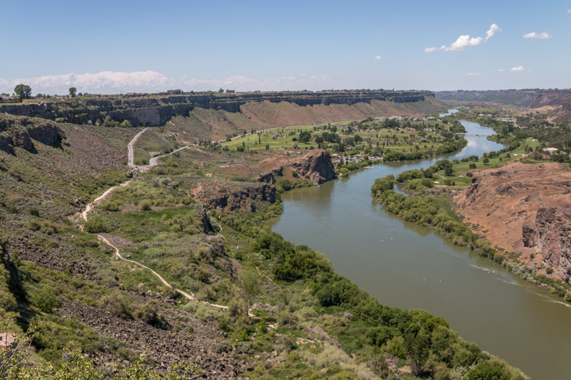
The canyon on the east side of the bridge is just wide enough for the river.

This cactus in bloom made for a nice shot though.

I noticed a guy heading out onto the bridge with his parachute so I hung around to watch.
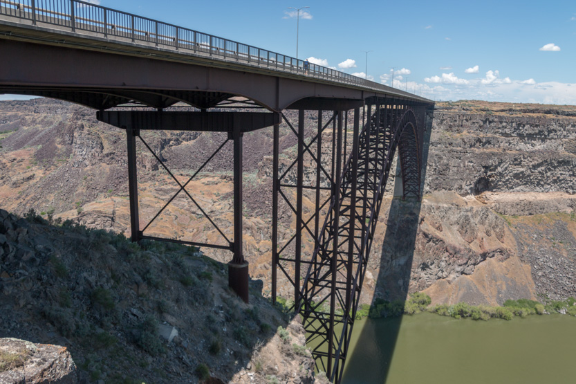

Mid somersault.


And down.

The whole thing seemed to be over rather quickly to then have to make the long climb back up.

There were quite a few jumpers here, as there was almost no wind.

Just because it seemed that it needed to be done, I walked out one side of the bridge and back on the other.

Then home.
No comments:
Post a Comment