Today we drove the short distance to the north edge of the city to climb to Table Rock, along with everyone else on this gorgeous Sunday morning.
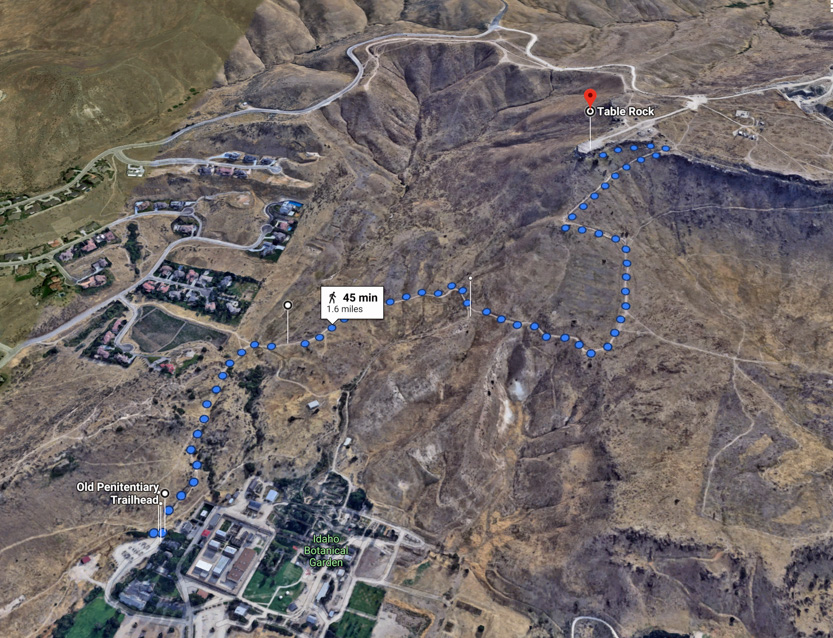
You start near the old state penitentiary and climb about 870 vertical feet on a 3.2 mile (5 km) out and back trail to an outcrop of rock on top of a ridge. Or you can cheat and drive to the top.
We knew that this was a popular trail since it is so close to town. When we got to the trailhead at around 9 am the parking lot was almost full with about 50 cars.
Off we go with an initial steep climb and our target high above us, on the left.
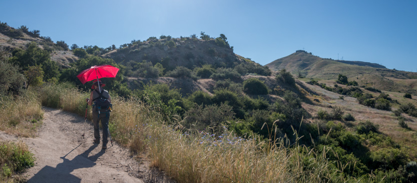
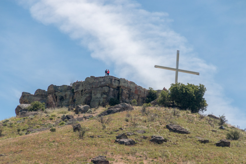
There is a cross up there and from this distance, since we didn’t know what to expect, the rock looked like a building, maybe a church to us.
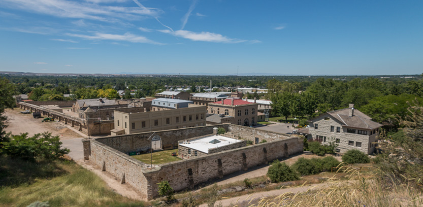
Looking down on the old penitentiary. It is open for tours.
Crossing a relatively flat area took us over to the hill with Table Rock on top.

A photosphere.
The closer views revealed what is really looked like, although it still looked like a fortress without a camera zoom.

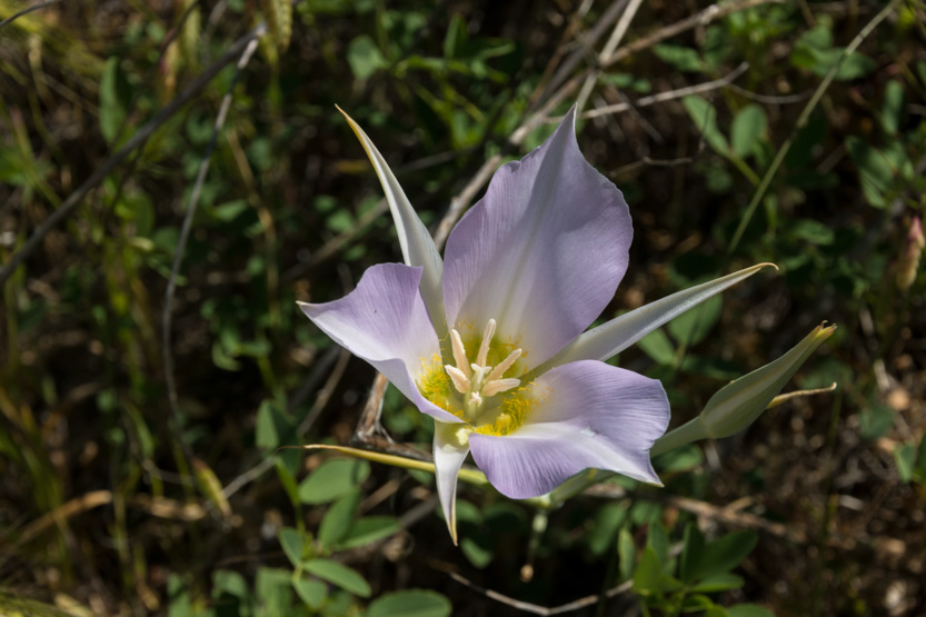
Once again there were lots of wildflowers to look at.


You then climb up and around to the southern face.

To start the switchbacks to the top.

I saw this raptor (of some kind) but it was too far away for a good shot.


Ever upward.
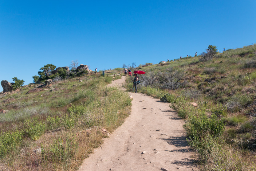
A photosphere closer to the top.
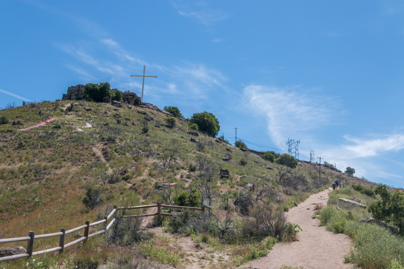
Once you do reach the top of the hill, the whole area is quite flat and Table Rock just extends out over the edge.


The conditions were great today for long distance views of the flatness of Boise, extending off to the horizon.

A couple of photospheres from different points on the edge. They capture these all around views so much better.
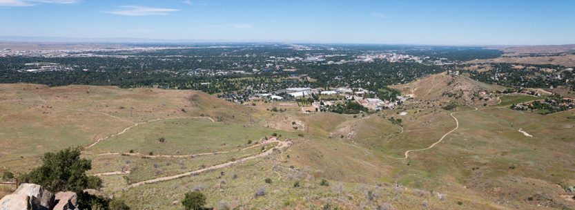
Our path to the top.

A closeup of downtown and the Capitol Building.

The trail up had never gotten close to the rock so we didn’t really see what we were now standing on.
On the north edge there were some ledges that seemed to stick out over the abyss.
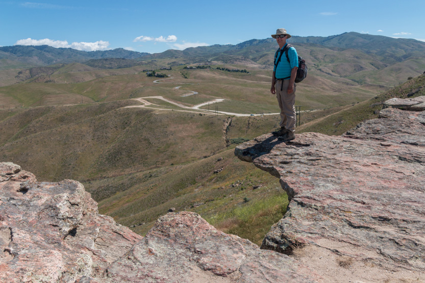
Looking more closely and going down a bit, we realized I was not really defying death, just injury.
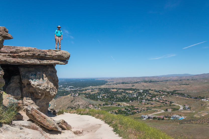
While the top of the rock was just a flat area, coming down here showed us the very interesting sides that were heavily sculpted, and graffitied.
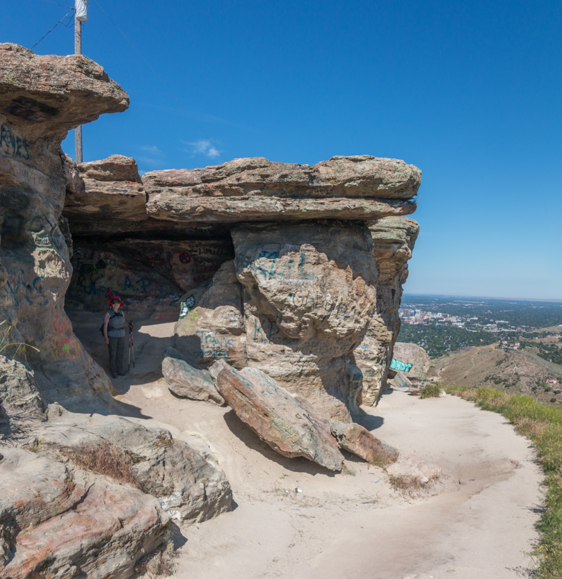
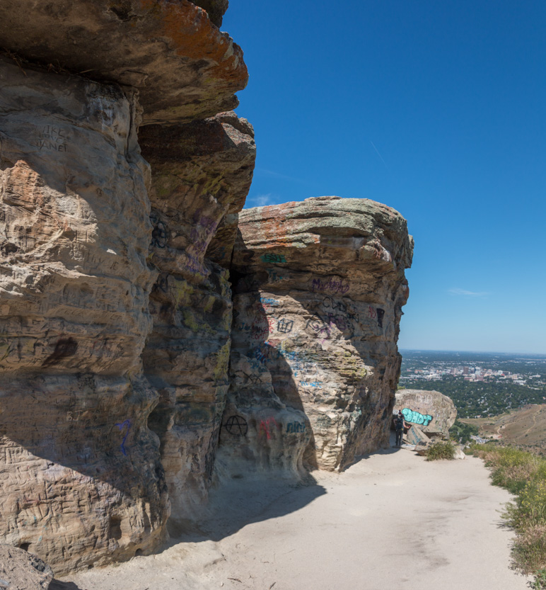
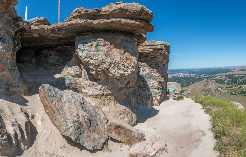
A photosphere.
We walked around the front and then back up top.

There were a lot of people here but I don’t think many knew enough to come down and check out this area below the edge.
We had an early lunch staring at the view.

Then back down.

Coming up we had seen a lot of huge houses higher up on the ridge but had not noticed this one that looked like a Spanish hacienda with its own vineyard below it.

Then finally down to the still fairly full parking lot.
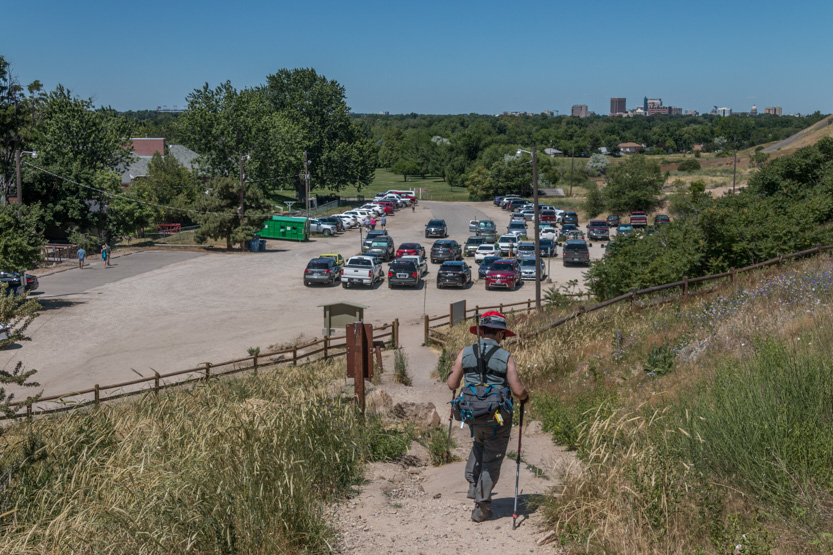
That was enough for today.
While we were up there I tried to see the RV park but I think I was looking in the wrong place because we can see the cross from back here.


It’s even easier to see when it is lit up at night.

No comments:
Post a Comment