We headed back towards Vernal to do the short hike to Moonshine Arch.
Although Google Maps knows about Moonshine Arch it does not know about the roads to get to it.

The roads in red aren’t on Google Maps. There is no sign at the turn off the highway. Also once off the highway don’t take the first road because it was really rough and rutted. There is a sign at the second left, pointing to the Arch. Take that one. Still not great but better than the first.
The only other sign about the arch is when you are almost at it. We just parked where we saw other cars.

This guy left just ahead of us on a board with a single electric wheel in the middle.

He got most of the way in before it got too steep and he walked the rest of the way.

There were a lot of roads and paths in the area, again with no signs. We just followed the nice wide mark left by that fat wheel.

It was blazing hot again so Jennie broke out her umbrella. The car said 31C when we got back but with no wind it felt even hotter.
It was about 0.8 miles from the trailhead, mostly uphill in either soft sand or bare rock.

Off to the west there was a ridge of rocks with a cloud just peaking over. We thought that this outcropping looked like a fire breathing dragon.

Made it.


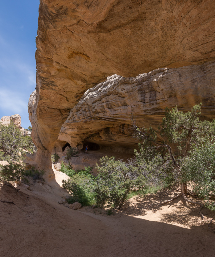
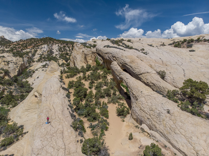
The arch is about 85 feet long and 40 feet tall.

There is a large grotto on the separate wall behind the arch where I imagine the rushing water came flowing down and eventually through the arch.


Looking back down at Jennie.


It was a nice cool place to have lunch.

The photosphere.
I climbed partway up the arch until it got a bit too narrow for me.

Back down to Jennie.

And since the one other couple that had been there left, I broke out the drone.


I am still trying to figure out what kind of shots work best from the air.
A photosphere from near where I flew the drone.
Heading back.

I had planned another stop today but the heat got to us and since we have a lot of time, we called it a day.
Back at the elevation of the RV it was a very pleasant 19C.
No comments:
Post a Comment