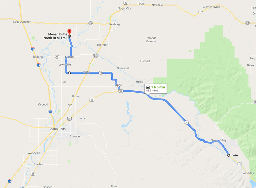
Today we drove a little north of Idaho Falls to climb one of the world’s largest volcanic tuff cones, called North Menan Butte.
Here is the Google Earth view of it.
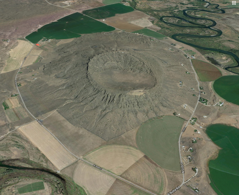
There is a 4.5 km trail that climbs 800 feet in elevation to the rim and then does a circle around it. We only did part of the rim.

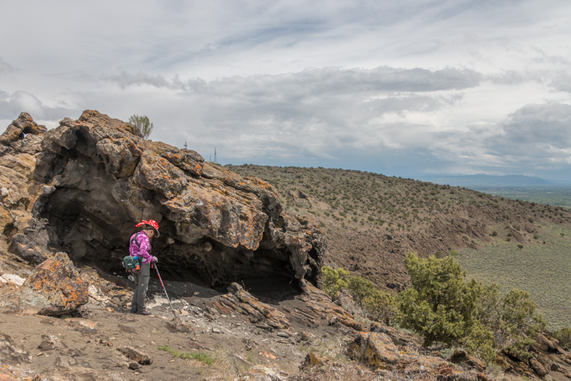
Despite some really nasty weather today we were actually quite lucky. In the morning, for our climb it was cloudy and nicely cool. Once at the top we could see a line of rain coming at us. Not that it was ever busy, but everyone else headed down. We found a nice cave to have lunch. The rain passed by quickly and we were in bright sunshine for the rest of our time at the top, mostly alone. We headed into town for some shopping after we left. While I was waiting for Jennie a strong downpour went over us with some thunder and lightning. As we drove home we saw that it had moved north and the Butte was now getting dumped on. It would not be a good thing to be on the highest point of land around in a thunderstorm,
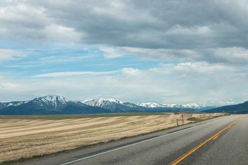
The view from the highway as we drove in.

The parking lot only had two spaces left out of about 15 when we got there, although strangely we didn’t see that many people on the volcano.
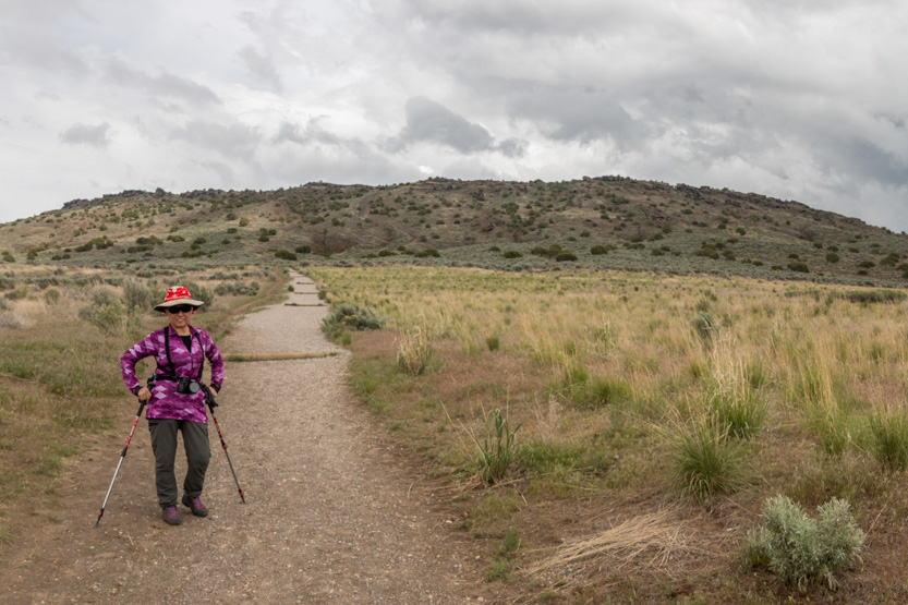
Off we go. The first section was gravel.

Once again the photos make it look flat. It was not. It was steep enough that our out of shape bodies had to stop a few times, even on this section.
Then on to steeper volcanic sand, which was soft and made it even harder to climb.
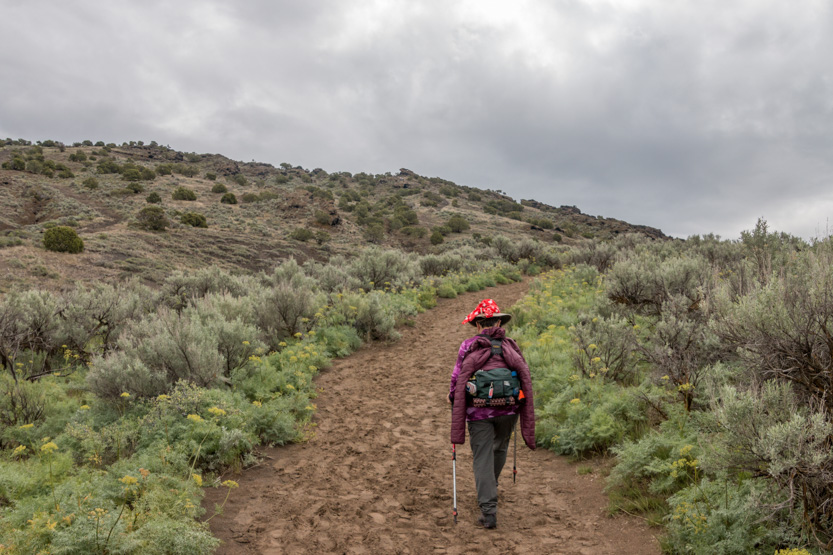
Then rock but with lots of sand on it to make it easy to slip downhill. The switchbacks begin.
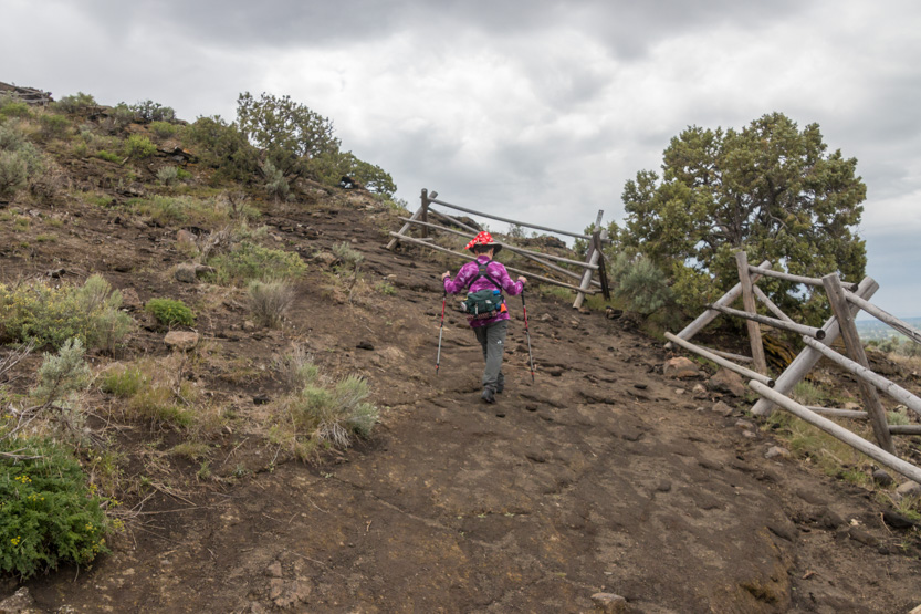
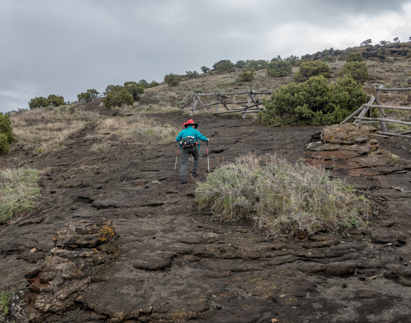
The final section was straight up so there was a chain to grab onto.

Looking down you can see the circular parking lot just this side of the highway.

Almost there. It took us about 1/2 hour to reach the rim.
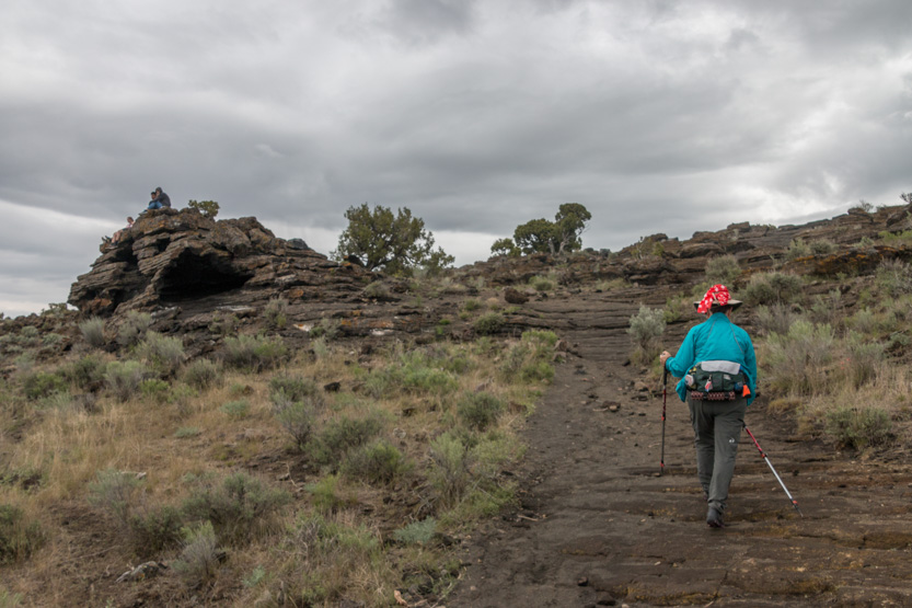
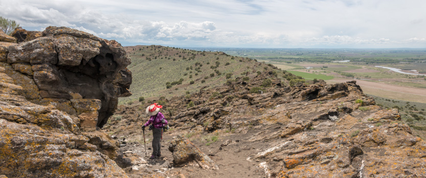
Jennie thought that the side of the outcropping looked like an elephant.

And up to the rim to look down on the crater.

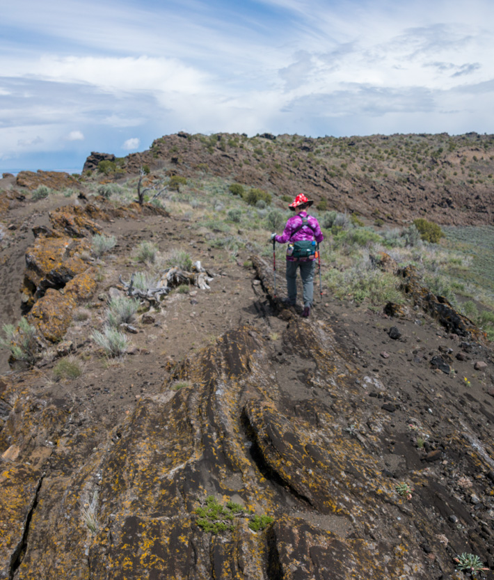
The part of the trail around the rim that we did has very little elevation change. We headed south first.
The rain was coming.
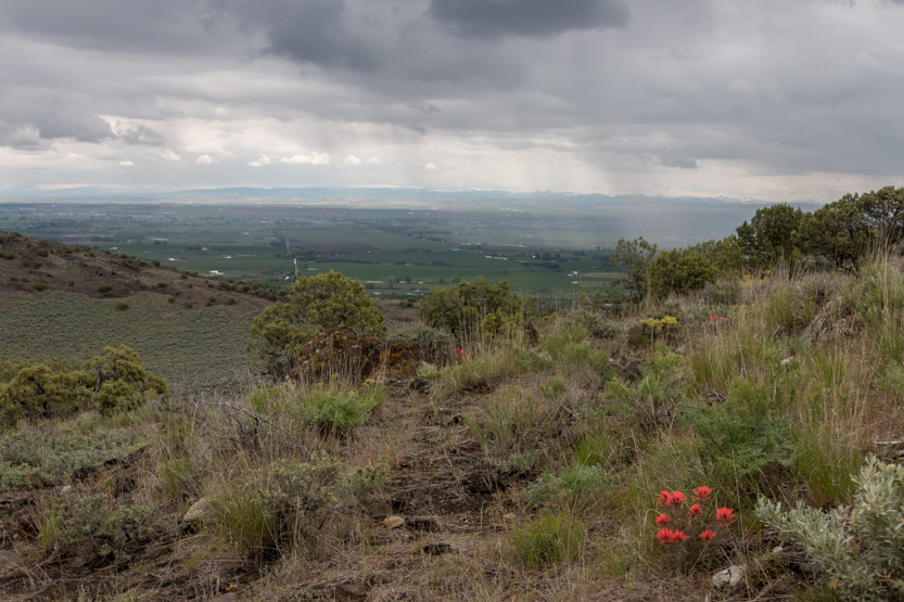
This part of the rim was mostly open and flat, with the line of rain in the background.

There were a few outcroppings to guess what they looked like.
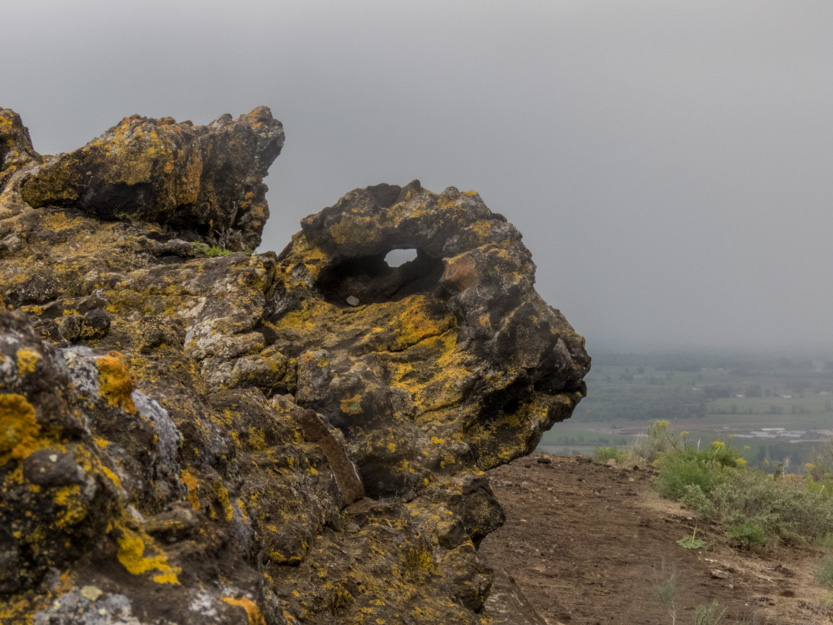
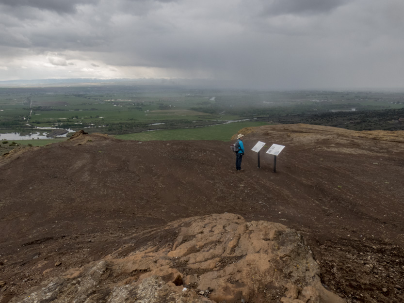


The photosphere.
The sky behind the rain looked quite bright so I hoped that it would pass quickly. We backtracked a little, to a small cave I had seen on the way out to this side of the rim. Lunch time.

There was only a light rain. I think it lasted about 15 minutes and then we were into the bright sunshine.

A photosphere near our hidey hole as the rain moved off to the north.
Since everyone was gone, I brought out the drone for a short flight. This was the only shot that really added anything.
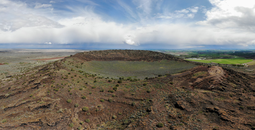
I am on that flat spot at the right edge of the rim.

Here is the drone version of a photosphere as it hovers over the center of the crater. Very cool!
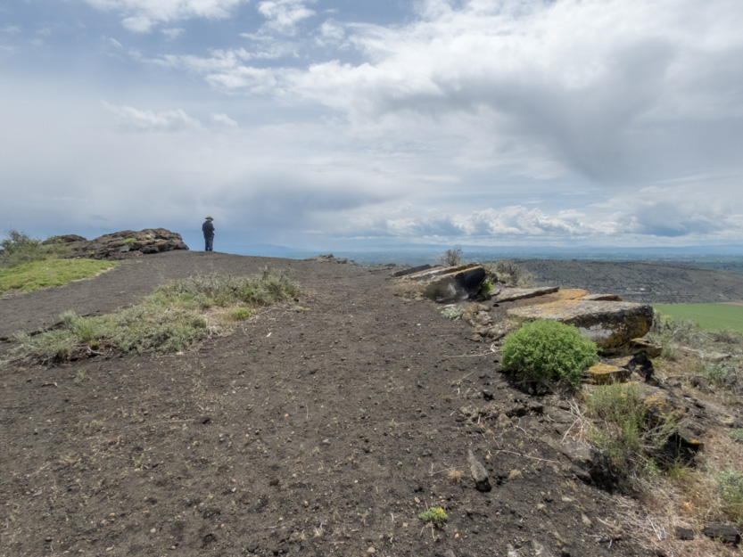
Another photosphere from here in the nicer weather.
Heading over to the north rim.


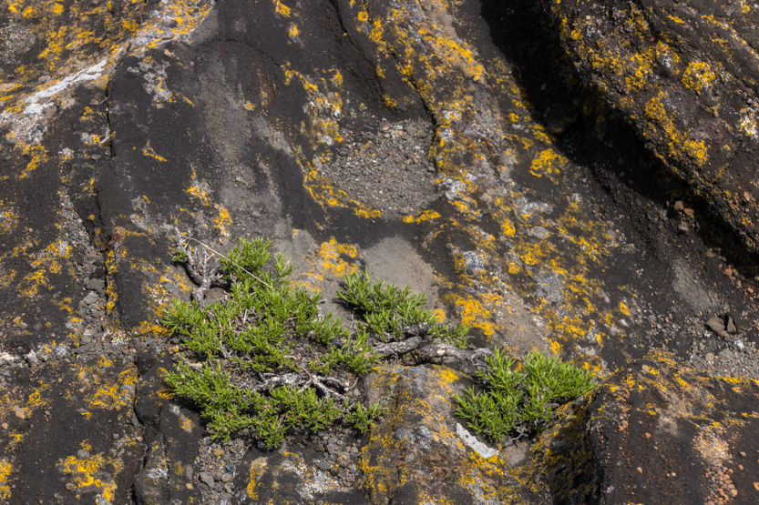
Some flowers growing in a tough environment.

And this tiny flat tree.
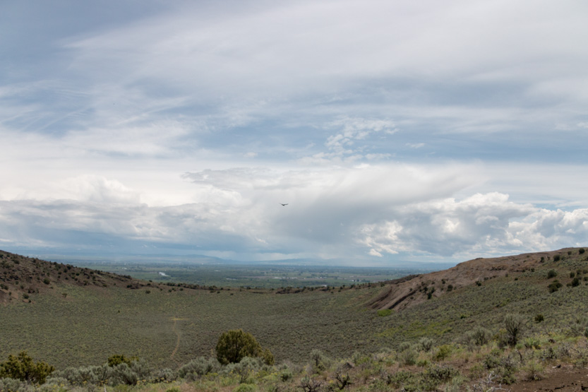
I think this is a vulture soaring on the currents.

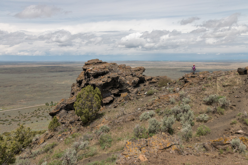
It was a lot more jagged on the side.


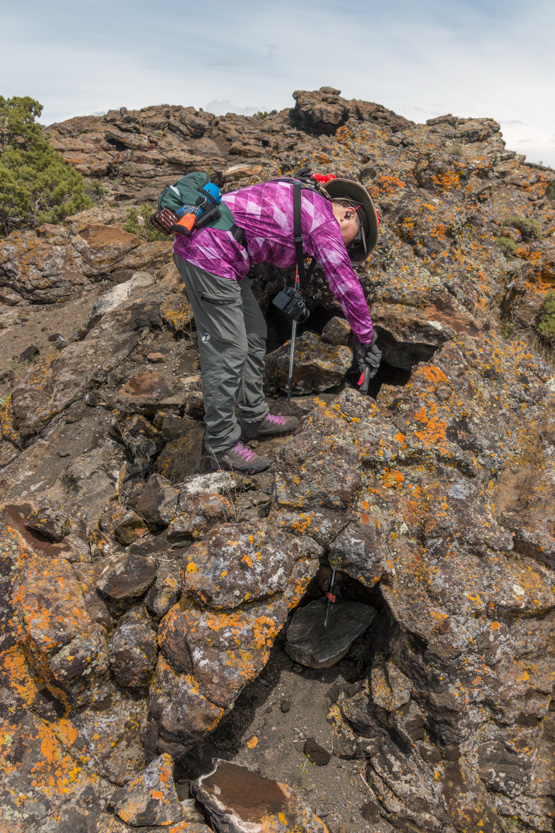
Jennie really wanted to check out this outcrop.


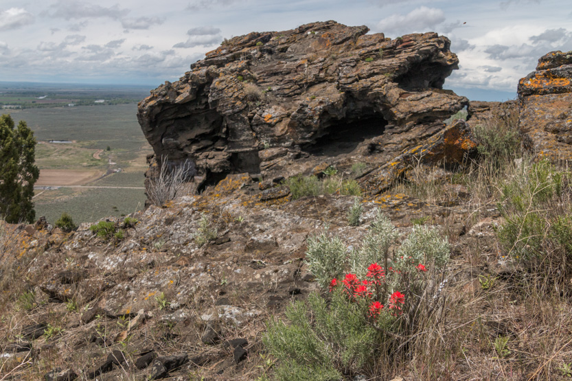
Lots of holes to look and poke through.
Another photosphere.


The crater from this angle.
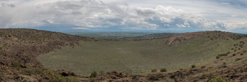
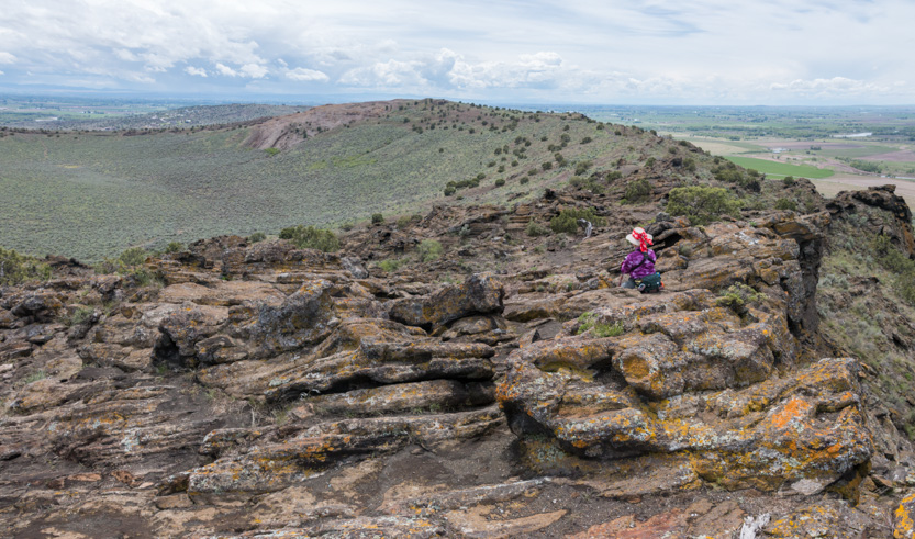
We had a long sit and stare here.
And a final photosphere.

Its amazing how the trunks of these trees look so dead.

After about 2 hours exploring the rim we headed back down.

Made it.
After shopping, we headed home and finally got a sunny view of the mountains over the vast potato fields.
No comments:
Post a Comment