Another very long post on an absolutely breathtaking day.
We took so many pictures (~500) that I was too tired to process then all and do a good job on this post so it is delayed a day.
We are only in Burns for 2 nights, specifically to do today’s trip. If the weather happened to be bad we were out of luck as we had to move on but it turned out to be a mostly sunny day.
We drove about an hour south.
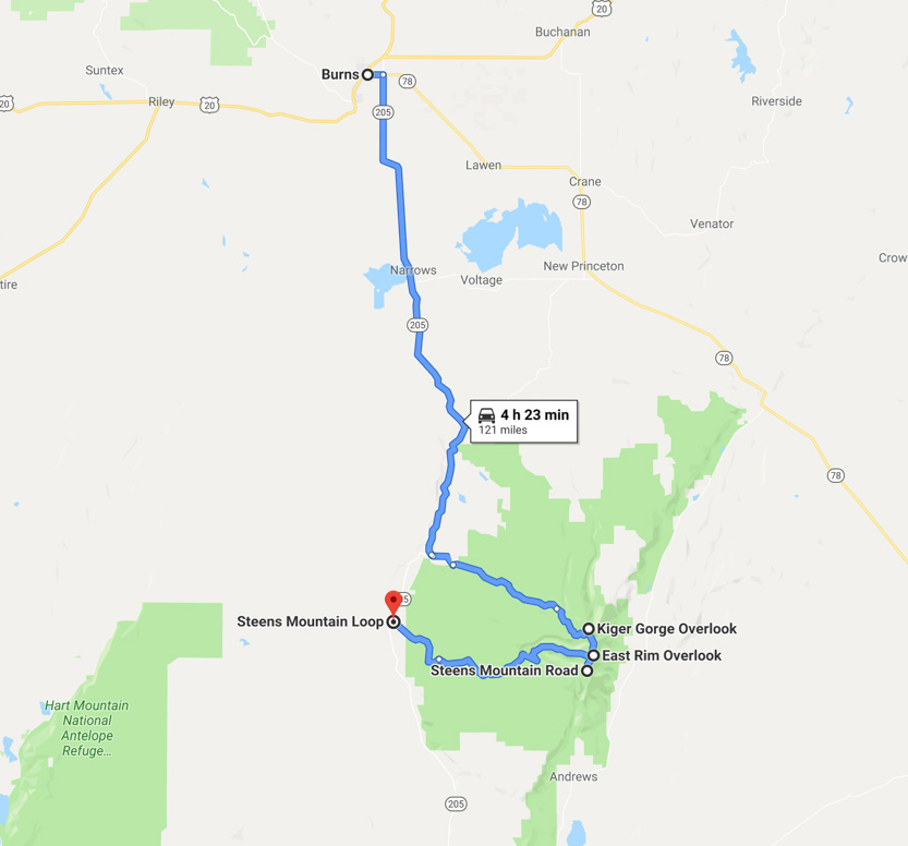
To quote an Oregon Scenic Byways book, “Steens Mountain is one of Oregon’s great scenic and geologic wonders, a 30-mile/48.2-kilometer fault block that is a small mountain range rather than a single peak.”
The 60 mile long dirt loop road leaves the small town of FrenchGlen at around 4100 feet in elevation and then climbs to just under 10,000 feet at the top of the mountain. It then loops back to the highway about 10 miles south of Frenchglen.
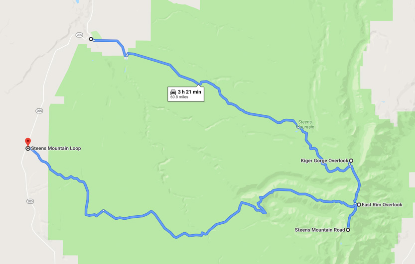
This Google Earth views give you an idea of the many deep gorges we got to see up near the top.

While the western side of the fault is a pretty gradual climb to the top, the eastern side drops almost vertically from the 10,000 rim to the 4000 foot elevation, very flat Alvord Desert below.
The road itself was a bit wash-boarded but there were no potholes or ruts so any type of car could do it.
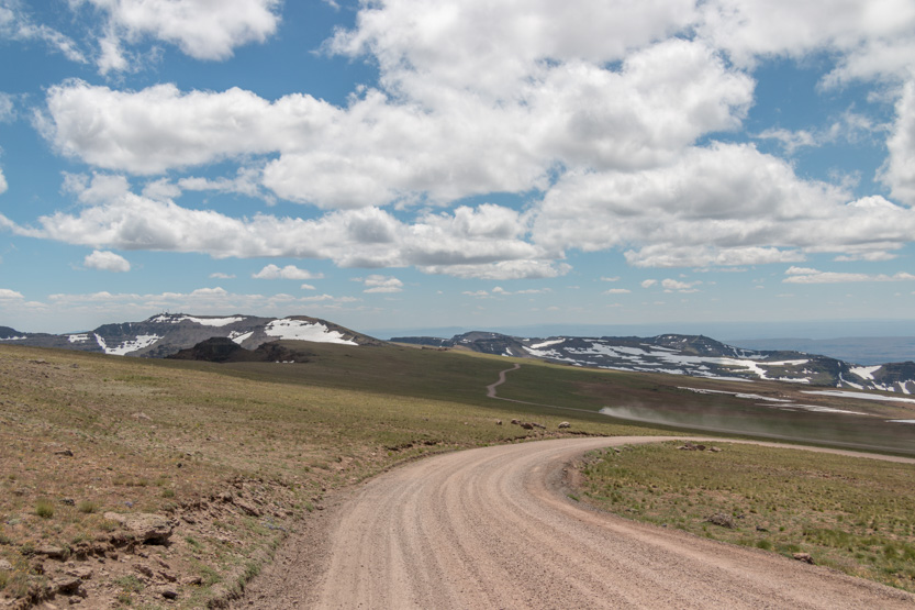
Up we go with the mountain far off on the horizon.
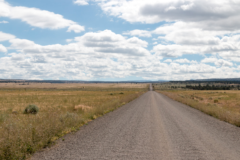
Getting closer. I think those two small bumps, off to the right, are near the highest point.

Into the snow zone.
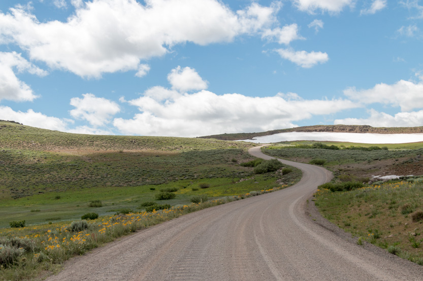
We first stopped by this snowy valley.
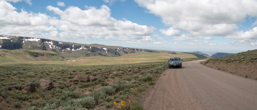
I really went crazy with the photospheres as well. When the views are all around you it is hard to capture them in single pictures.
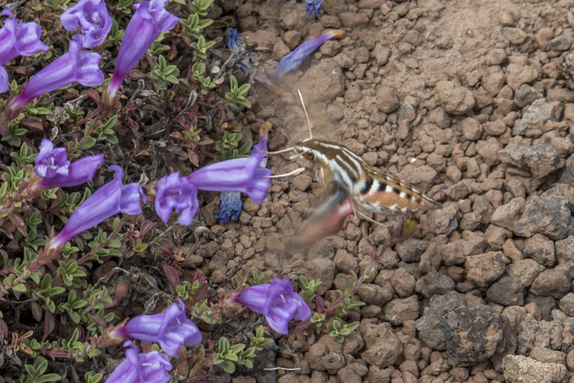
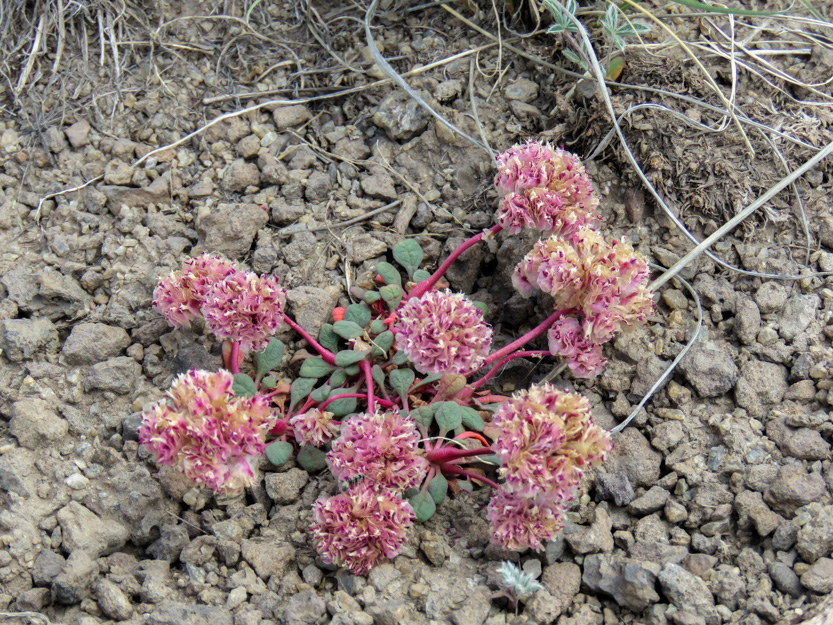
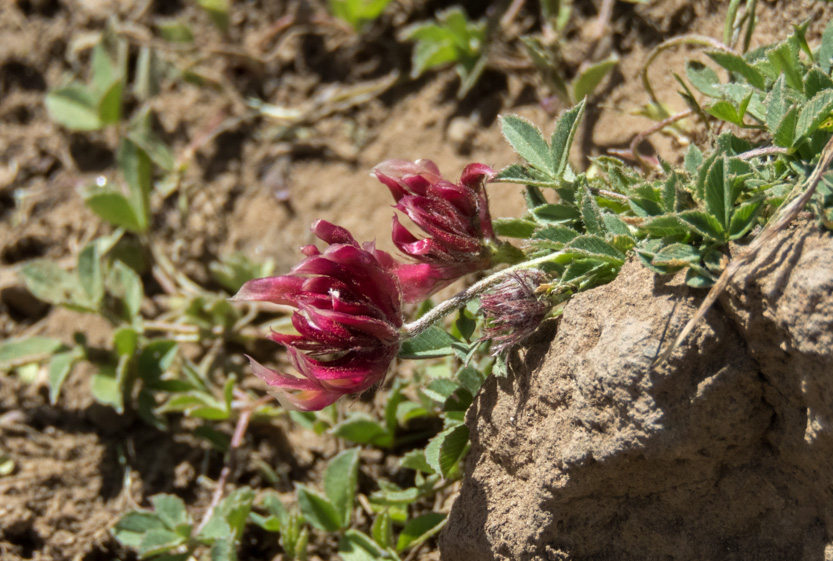
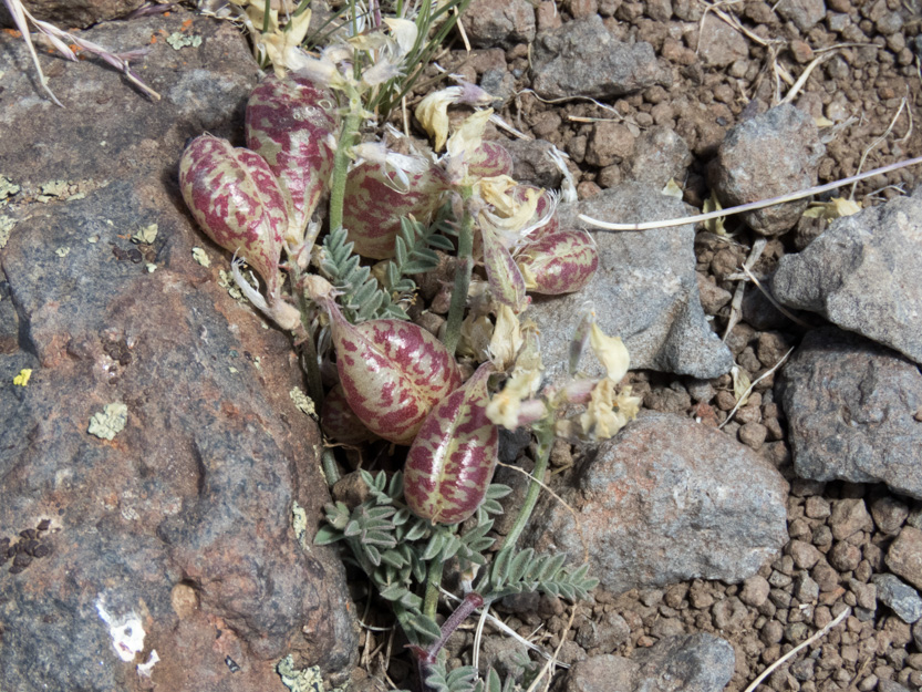
There were lots of wildflowers out in bloom.
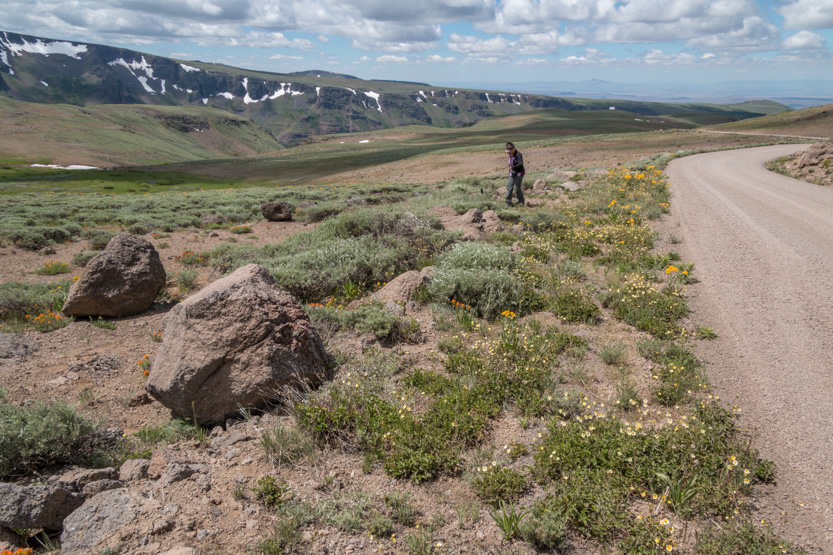

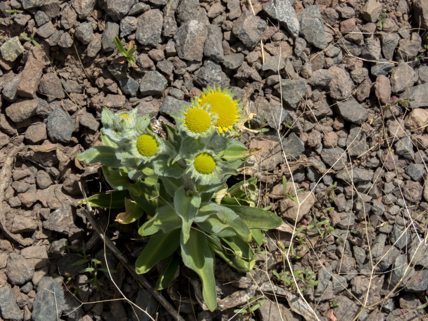
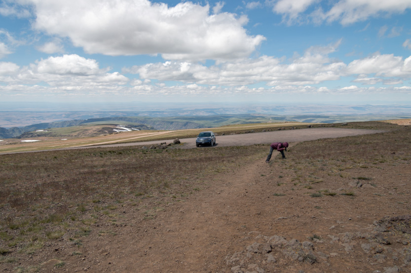
Jennie sent me up to take a picture of these purple ones.
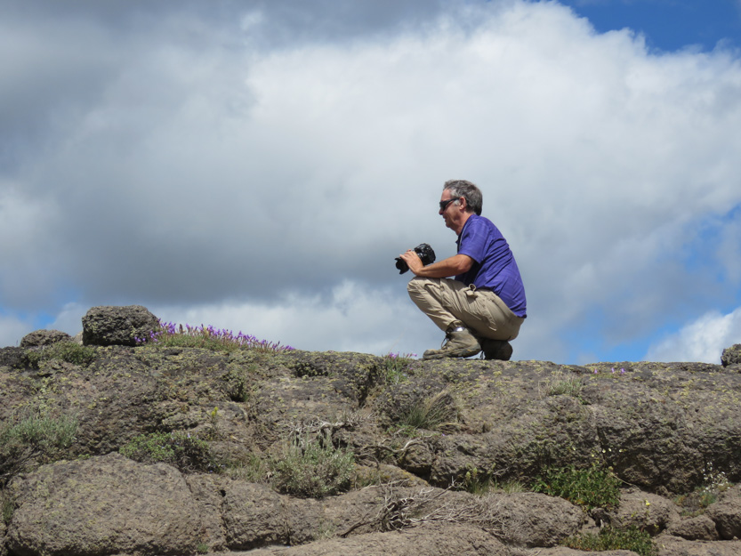
As I did, what I first thought was a hummingbird was feeding on the flowers, but I think it was a huge moth because of the antennae. It could hover and move back and forth just like a hummingbird. It moved so fast I never got a really good shot of it.


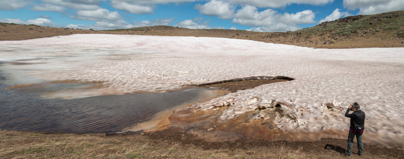
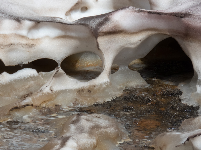
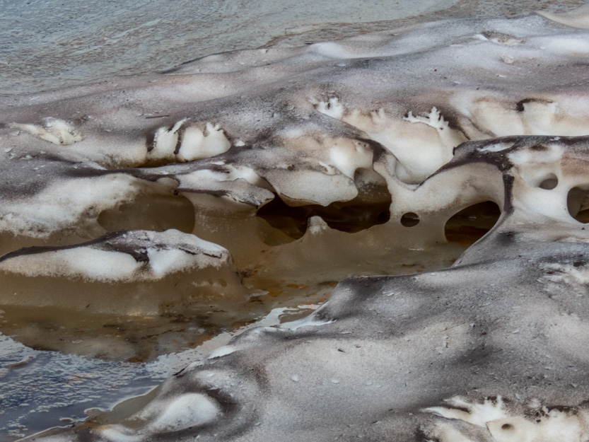
At our next stop Jennie wanted to check out the snow.

She really liked the colours and shapes in this one area.

High above on the ridge line we could see a parked car.

Then another one drove by it.

The next stop was the short side road to Kriger Gorge viewpoint. It is just a short walk from the car to look waaay down on the gorge, from the end of it.

The photosphere.
An interesting snow bank beside us.

And more flowers for Jennie, as she didn’t want to get too close to the very shear cliff edge.


We saw this strange bug with the red tubular tail.

We decided that this was a good lunch spot. The wind was strong and at this altitude it was rather cool.

Jennie is up in the right corner.

Me taking this photosphere.

Moving on and up. The peak is the highest spot in the picture below.

Back on the main road we got close to the end of Little Blitzen Gorge. Looking west.

The photosphere.
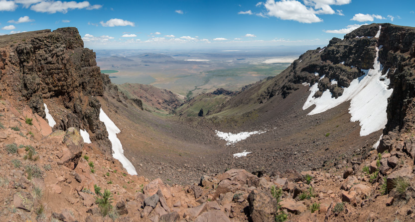
A little farther along there was a small pullout that just had a sign that said Little Blitzen Gorge. At first we just assumed that it was another view.


Then we noticed that people had climbed up this small hill to look east.

To give us our first look down to the vast plain, 6000 feet below us.
The photosphere.
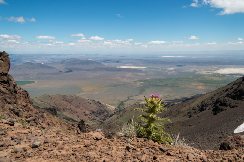
Then on to the very short side road to the East Rim Viewpoint.
Wow, just wow!
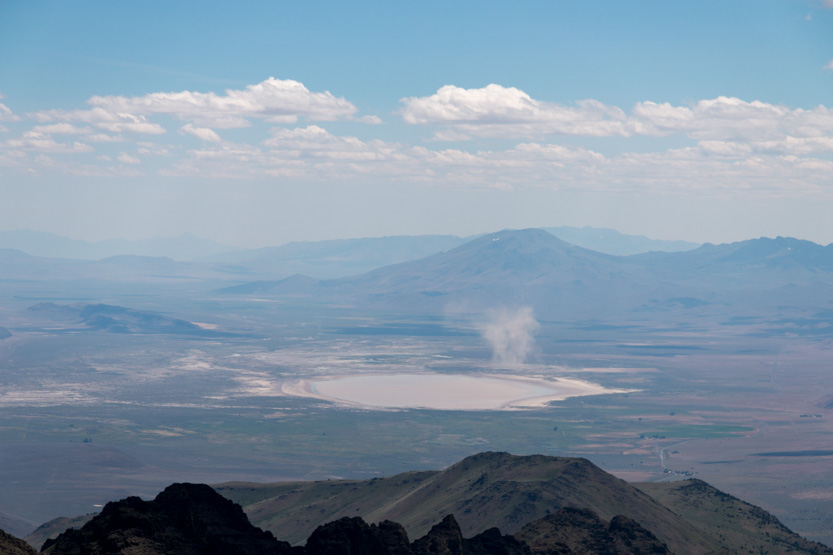
You can see the white of the Alvord Desert off to the right.

The photosphere and another one from a different spot down the rim.
Jennie found a safe spot to look.

I found some spots that were a little less safe.


The photosphere.
It was definitely time to just sit, stare and try to take it all in.


A huge dust devil.
This snow drift looked like melting marshmallow.

Then back to the main road junction and to the side road up to the top.

You have to stop and then hike about 1/2 mile to the very top, which is unfortunately covered in antennas.

I think it is Big Indian Gorge below us now, to the west.

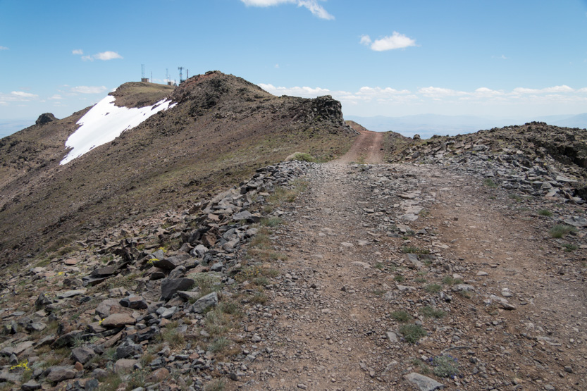
A wider view.

Wildhorse Lake is below us to the south.

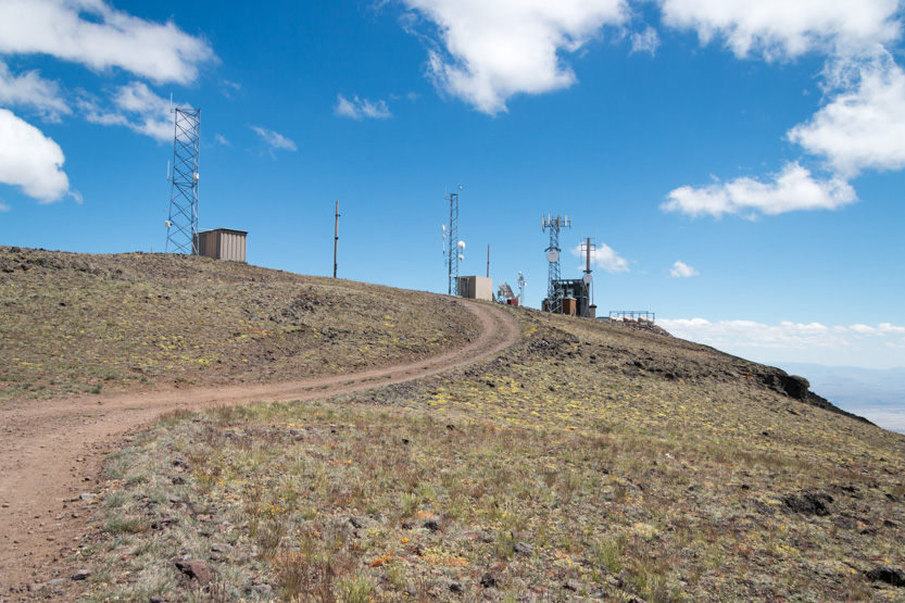
The view to the north.

The photosphere.
I walked as far past the antennas as I felt was safe. A thin ridge continued on.

The photosphere.
I had thought about using the drone but I think it is restricted airspace. I even saw a fighter jet blast through Big Indian Gorge below us while walking the trail.
Heading back down to the car.

Then back to the main road.

Down we go.

A quick stop for a view up Big Indian Gorge.
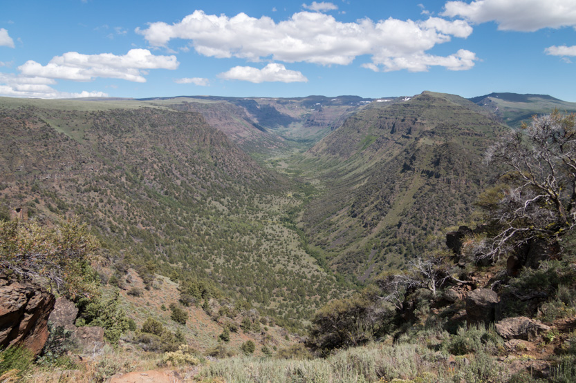
The peak is at the arrow.
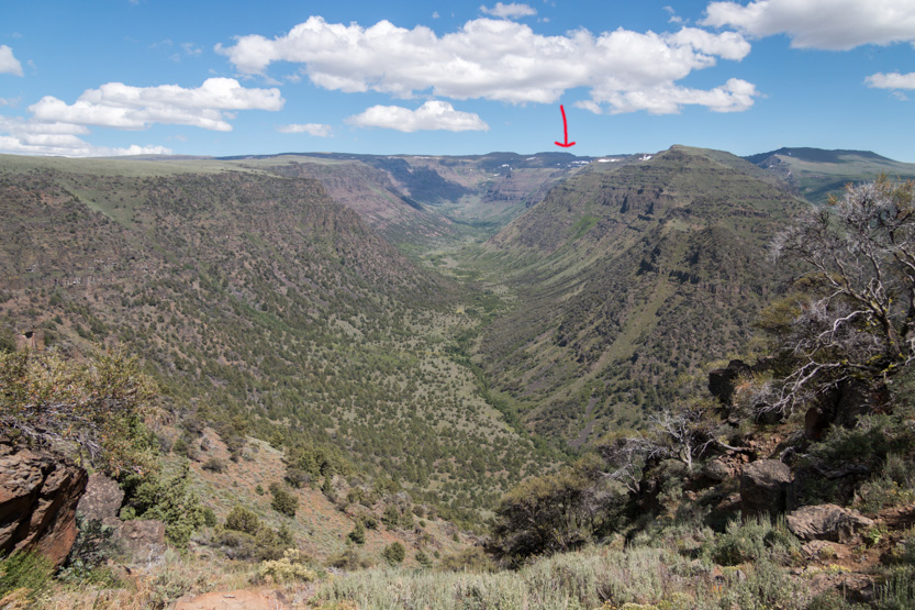
Down a bit farther.

To a stop and a short path to a view up and down Little Blitzen Gorge.
The path goes out to a point.

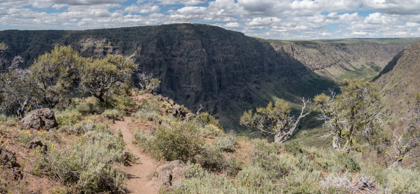
Looking east. The cloud cover was getting thicker.

Looking west.
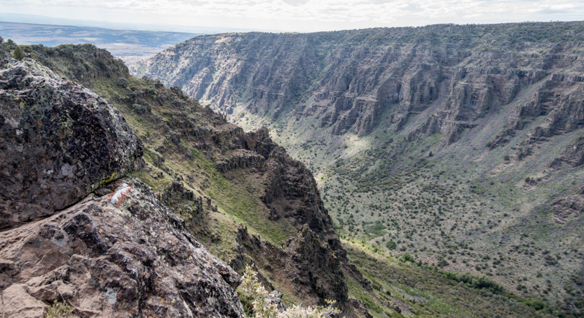

The photosphere.
Back to the car. The wildflowers were especially thick here.
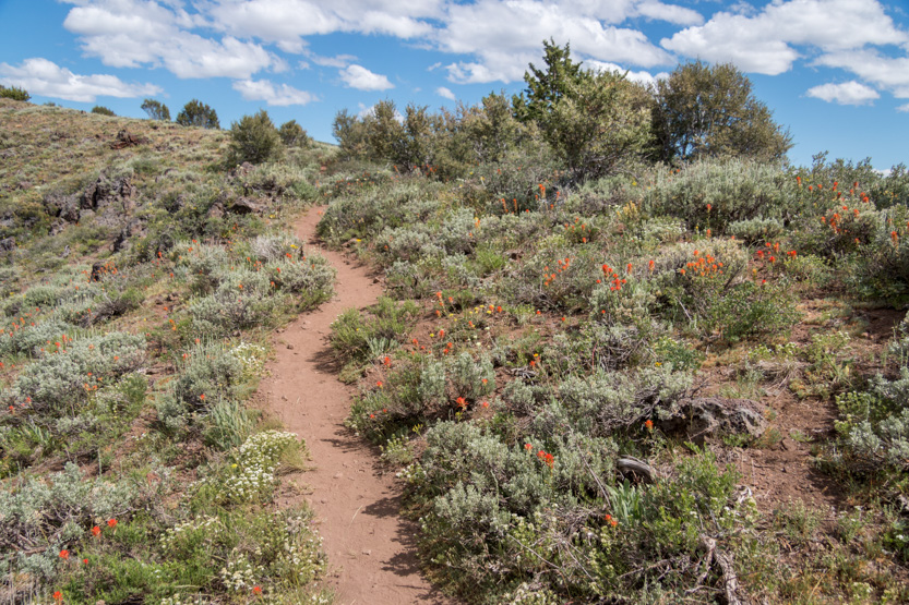
This side of the loop went down very quickly. One final look back.

Then we had a long, mostly flat drive through the sagebrush back to the highway.

And the hour long highway drive back to the RV.
A long but amazing day. We left at about 9:30 and got back at 5.
Once again the pictures area pale representation of what we saw, although the photospheres do a pretty good job. I can’t wait to see them on a 4k big screen TV.
No comments:
Post a Comment