Today we went just a little west of the city to checkout some viewpoints along the Deschutes River.

There is a trail that runs a long way next to the river and we could have hiked it but we wimped out and drove to each spot and then walked up and down, only looking at the interesting sections.
From the Google Earth view you can see the huge lava flow on the east side of the river.

We started at the bottom.
I wouldn’t really call Benham Falls much more that a steep rapids but it was in a pretty and deep canyon.
From the parking lot you go down a short set of switchbacks to the main viewpoint.

Then there was a trail where you could work your way upstream (south).
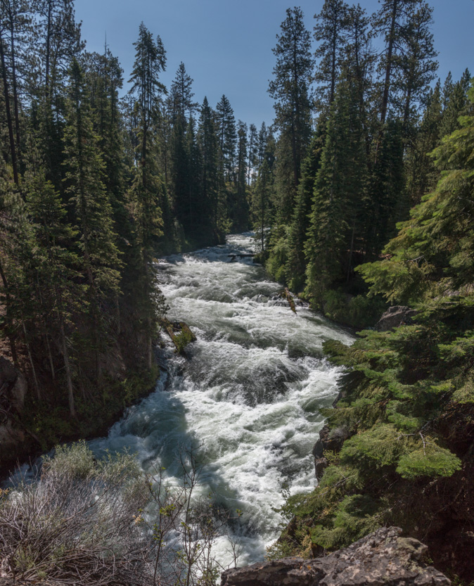
The walls were sheer and tall so Jennie didn’t feel like getting close enough to be in the pictures.
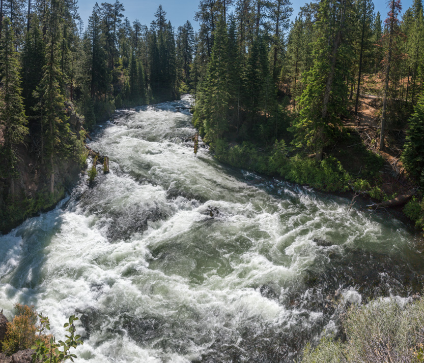
Down at the point in the upper right of the picture above, we could look back downstream.


We walked upstream until the rapids ended.

Then back to the car and on to Dillon Falls.
You had to walk downstream a short way to get to the falls.
Some rafters getting out of the river before hitting the falls.
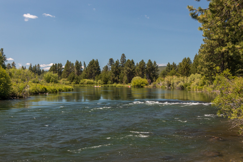
While I could honestly call them a falls, the problem here is that the river takes a sharp left turn and the falls face just far enough away from us that you can’t really see them.
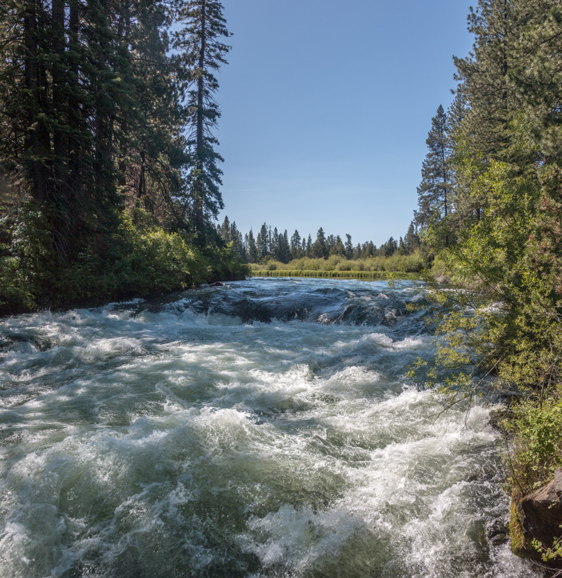
These are the rapids just before the falls.
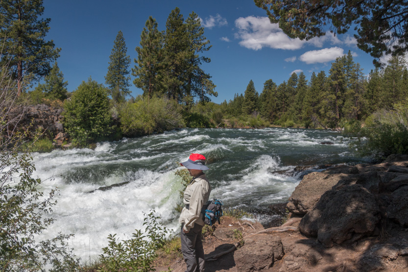

This is the best view I could get of a corner of the falls, as the rest curves away from us.


A photosphere.

I almost wished that I had brought the drone but there were too many people around so I probably would not have used it anyway.
I stood on this rock to take the previous picture. It was a far out as I could get.
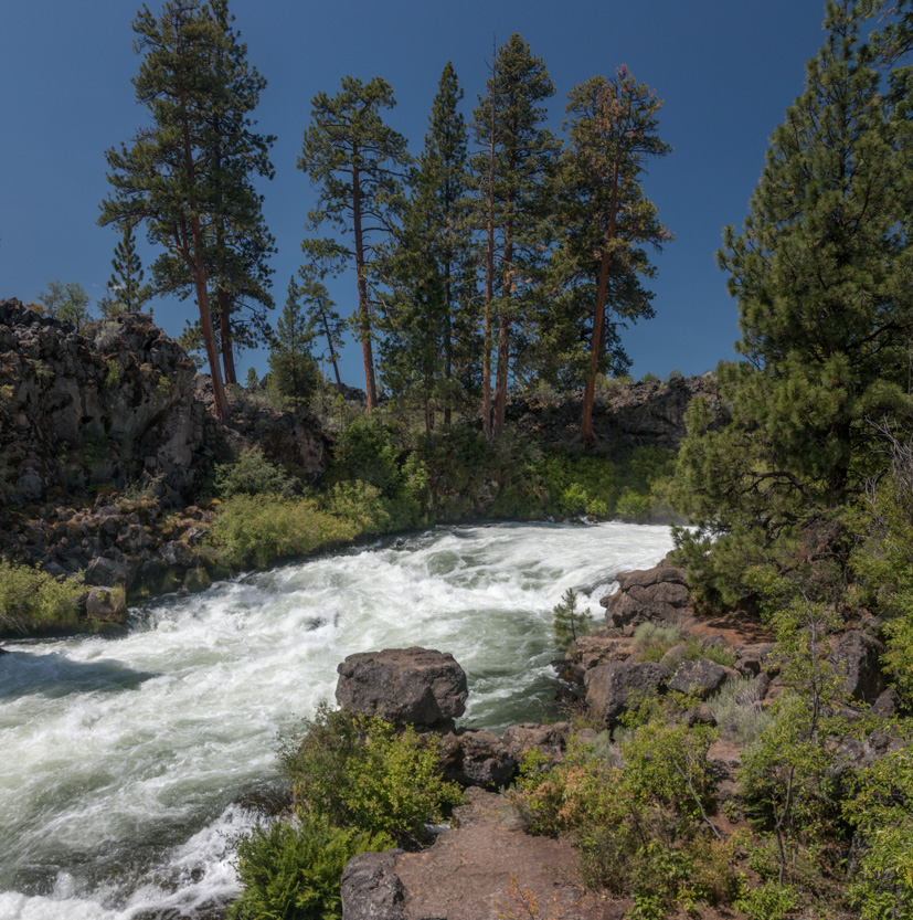
A photosphere.
Looking downstream.
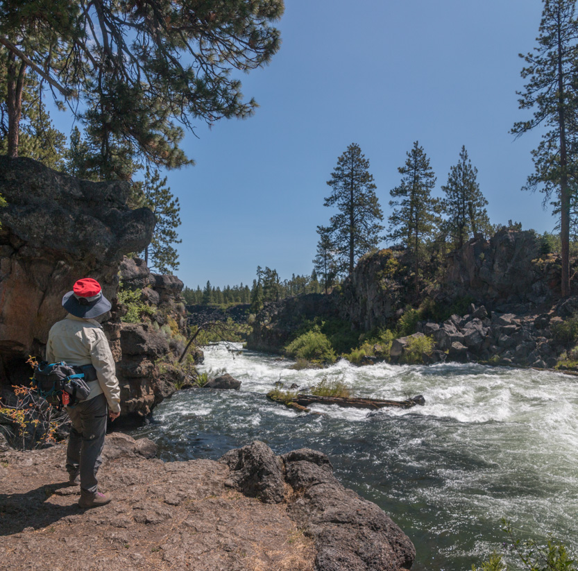
A view from higher up.

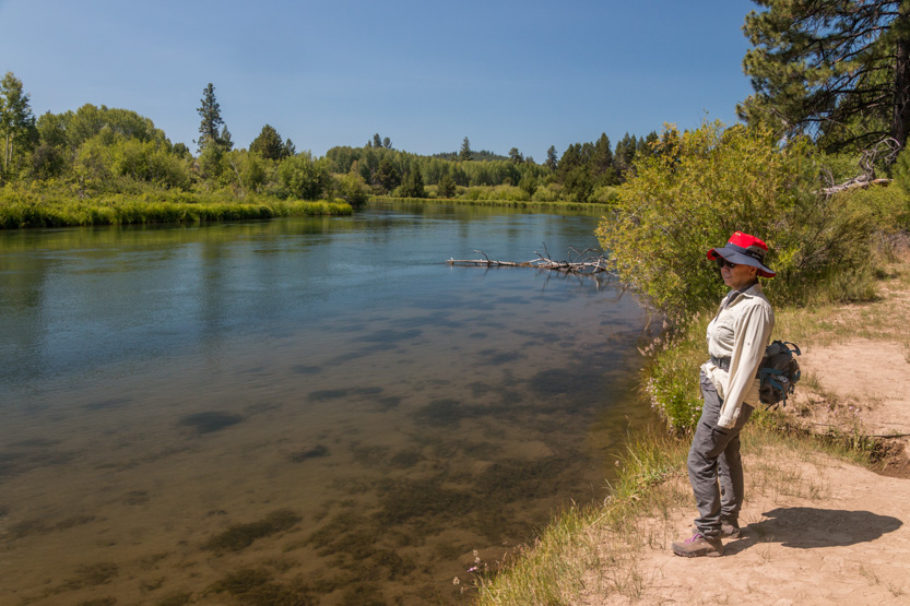
Me, doing my thing.

We haven’t had a flower picture yet.


We had left lunch in the car but by now it was time so I made a quick trip back.


A photosphere.
Then back to the car.

Our timing was almost perfect at the Big Eddie stop. There are two small drops that a company will take the rafters through. The boats were in the water as we went by.

The eddies are just a bit downstream. The company takes everyone down on the shore to see what they will be going through. As we walked down they were just returning to get in the boats.
Away they go.

You will get wet.


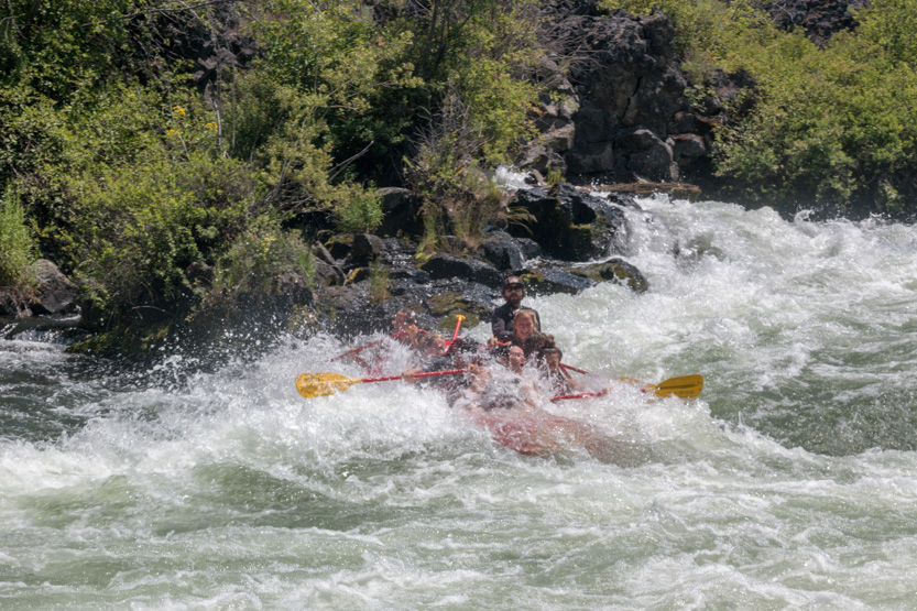
Just around the corner was another smaller drop, still guaranteed to soak you.


Satisfied customers.
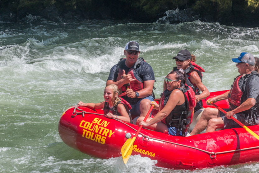
Then around another corner to calmer waters.

From the Google Earth view it looked like that was their only excitement, as they had to get out before our next stop.

At Lava Island Falls we were once again a bit underwhelmed. A lava flow splits the river and the falls are on the far side of the lava island. Again the drone would have been useful.
The Google Earth view shows much more action over there.

This is the small rapids that we could see.

The wider view.

There was a small falls on our side but this is the best view we could get.

I walked downstream for this shot back of more small rapids.

Jennie found some flowers and this growth on a tree.


Then back to the car and home.

While we didn’t seem to have walked very far, we did get a lot of sun and were pretty wiped out once we got home.
No comments:
Post a Comment