Happy Canada Day everyone.
Today we went back to the nearby Sheeprock Unit of the monument to hike around the Blue Basin.

We did the Blue Basin Overlook Trail, which climbs to go around the rim of the basin, in the recommended clockwise direction and then did the Island In Time Trail that runs through the bottom of the basin.
Altogether we did around 7 km and climbed abut 800 feet in elevation. I think we picked the hottest day to do it though. It was a clear blue sky with temperatures in the low 30sC and no wind to keep us cool.
Here is the Google Earth view.

You do a long slow climb up a valley behind the basin. Unfortunately there, what little wind there was from the west and down in the valley we got none of it. There were a few times that we almost turned around.
Off we go.

I am not sure why it is called the Blue Basin because it is the same green muddy rock that we have seen other places. I guess Blue Basin sounds better than Green Basin. The back side of the hill with the basin also had a lot of green mud formations.

Up the valley we go. The incline was gradual but the heat was a killer as there was very little shade.

There were lots of thistles next to the trail and bees feeding off of them.


At one point the local population of ground animals (I am not sure what they are) was making quite a racket. I think it was because this bird was perched over their home area.

One section of the trail must have eroded so much that they installed a boardwalk.

Looking back down the valley.

We stopped at every tree that provided any shade. There was only one shady bench.

We got high enough that we could see a deep red area off to the right.
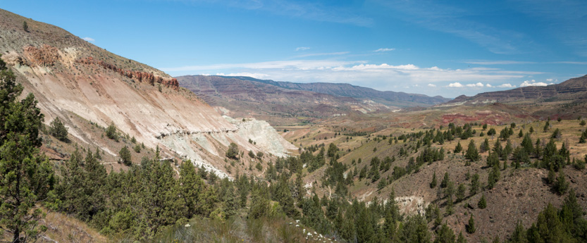
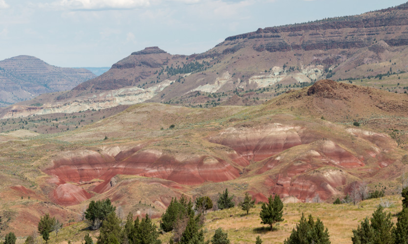
A photosphere.
After some switchbacks we made the final traverse to the highest point on the trail, and the halfway point.


There was a short side trail to a viewpoint and bench overlooking the basin. Lunch time.

The basin is Y shaped with two creeks converging.

The photosphere.
The lower trail follows the arm to the right. We could see some tiny people down there.
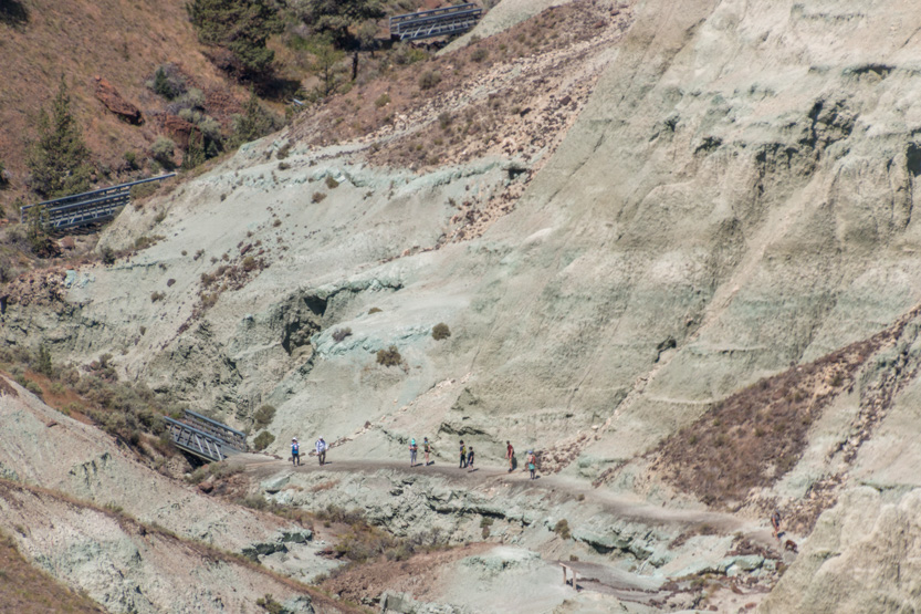
Our trail first goes around the left arm and them does a very steep descent (hence the recommended direction of travel).
Starting down and around.


The trail is fairly level along the west side.

Looking back over to the lunch spot.


Part of the trail is on a private ranch so we had to squeeze through the barriers that stop the cows getting out.
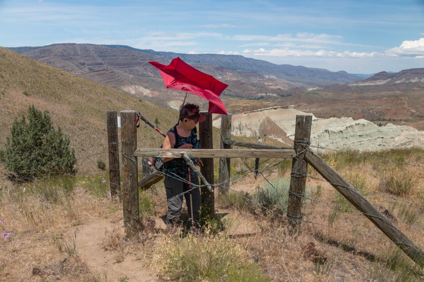
It was more windy once we reached the top. Jennie’s umbrella did not fair well and soon came down.
Down we go. Jennie got a bit ahead of me as I stopped for this photosphere.


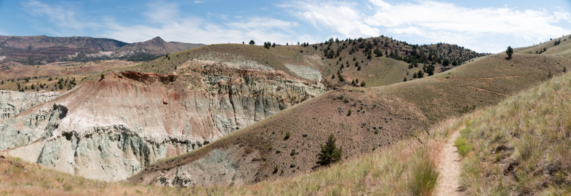
Another photosphere.
Jennie took a shot while she patiently waited for me.

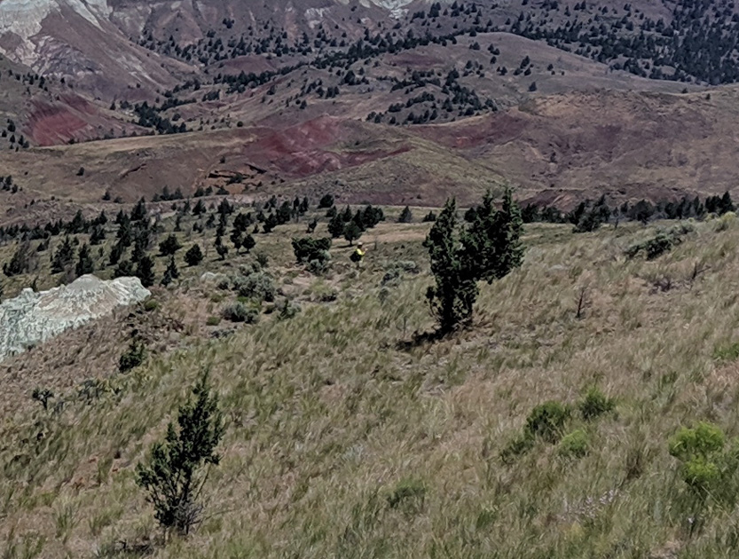
At first the switchbacks were relatively gentle but then they got very serious. They would be terrible to climb.

The path went through these pillars. The cars are still a long way down.

Looking down on the Island in Time Trail.

A photosphere.
And up the Island in Time Trail we go. It hops from side to side of the creek so there are a lot of bridges.

At the Y, looking up the right arm.

And Jennie continuing up the left one.

The photosphere.
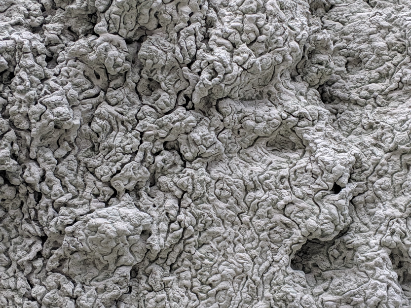
Lots of texture to the walls.
Some deep green mud puddles.


And the end of the trail.

The photosphere captures this area the best because we were surrounded.
Back we go.

And finally to the car and our stash of ice water.

No comments:
Post a Comment