Today we drove about 45 minutes to the west to explore the Painted Hills Unit of the John Day Fossil Beds National Monument.

We did all the trails. Most were in the 1/4 mile length but the Carroll Rim Trail was a whole 1.5 miles. I am sure that everyone will be sick of red and yellow hills after this post.
First was the Painted Hills Overlook. This is the view to the east from the parking lot.

Then you climb up for a slightly higher view.

At the end / top.

The photosphere.
Looking to the west.
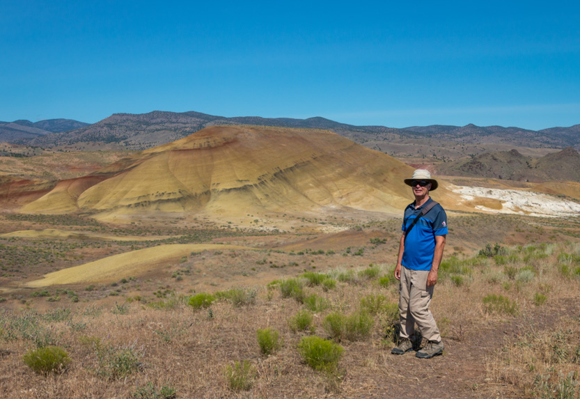


We saw this couple with their young baby and commented on how it was the first time in a long time that we had seen a baby well protected, with a big hat and even sunglasses. They were taking lots of pictures.

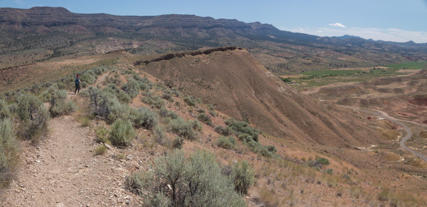
Heading back down. We climb the hill in the background, below, as our next trail.

Not this one.

The Carroll Rim Trail climbs up here.

Up, around behind and the along the ridge to the top.

It was a bit windy for the umbrella today.


The photosphere.
Looking back down.

Going around the corner.

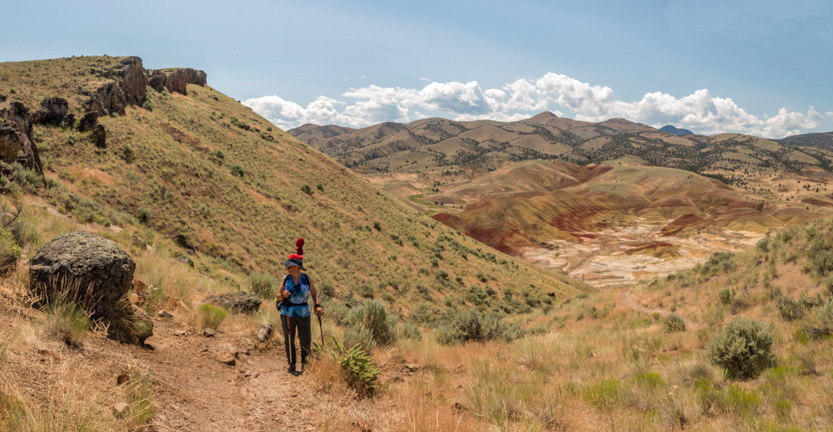
And along the ridge.


To the top.

The photosphere from the end.
The wide view down on the main area.

The photosphere.
Some closeups.

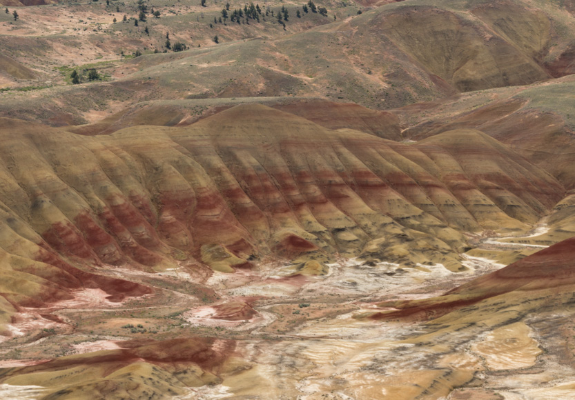
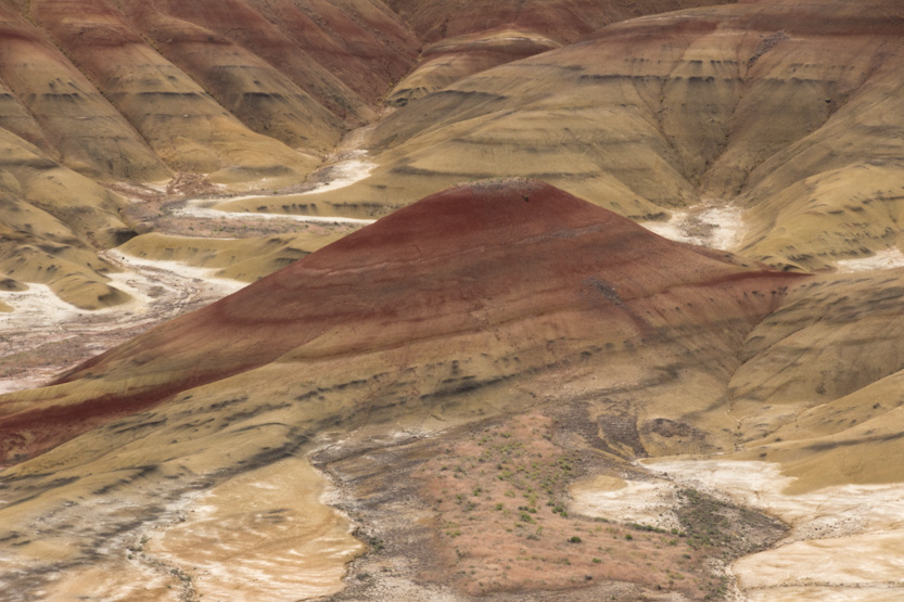


Looking behind us we could see our next stop, the Painted Cove.

Heading back down.


The Painted Cove is a small area where you can walk between some (more) deep red and yellow hills.


The photosphere.
The main trails was a loop but you could walk up to a higher viewpoint.

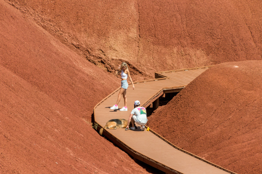
Somebody was adding to their Instagram portfolio.
The photosphere.
Continuing the loop

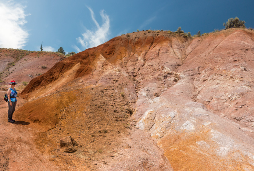
And a final photosphere.
Looking back at some people silhouetted on the lookout.

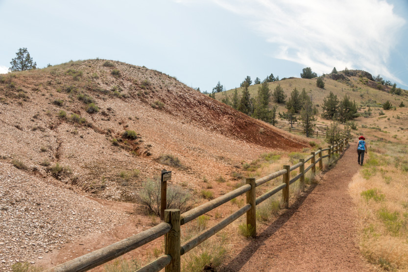
The Leaf Hill trail was a dud. It was a mound where they have found a lot of plant fossils but they remove them as soon as they find them. It was just a hill of broken stones.
At the Red Hill parking lot we saw that someone had rented an interesting way to get around the park.

By now Jennie was a bit bored but I wanted to see everything. It really was just another large red (and yellow) hill.
Going in you see the red side. Once again the camera compresses the size. I would guess that it was at least 50 feet tall.

Half red / half yellow.

At the trail end you saw the yellow side.

This picture best shows the true size.

Then home.
On the drive there, we had seen this shoe tree beside the highway. I managed to get a picture on the way back.

I have no idea where people stopped to fling their shoes because there was nowhere to pull over or even much of a shoulder. Some people must have really good arms to reach those top branches.
No comments:
Post a Comment