Today we drove about 1/2 hour north to Smith Rock State Park. There is a very tall, narrow ridge that runs through the park.
We did a 6.5 km hike that climbs up, over and down the other side of the ridge and then loops around to the end of the ridge line and then back to the beginning.
This view is looking north. We did the trail counterclockwise.

In this view from the north you can see the trail climb up and over the ridge.

Our path.

The section of the loop that climbs up and over is called the Misery Ridge Trail, with good reason.
From the parking lot you first zig zag about 200 vertical feet down the valley floor. Across the valley is the 800 foot tall vertical cliff face called the Red Wall. We climb very near that highest point.
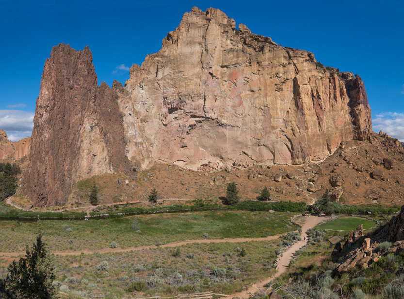
A photosphere.
The trail switchbacks up to the base of the wall then loops around the northern edge to enter more switchbacks up to the top.
Away we go. Another very hot, cloudless day with almost no wind.

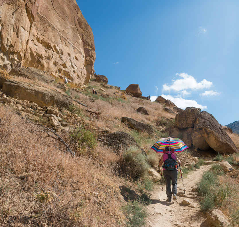

The steep loop around the end.

Looking down into the horseshoe bend in the river.

We thought this formation looked like a giant bird.

Heading up the next set of switchbacks. The top is that small notch, above and to the left of Jennie.

A photosphere.

Getting closer.


A popular rest stop. We used every opportunity to catch our breath.


The highest point of the official trail. Below you can see someone went higher. Later I did as well.

Looking down at the now full parking lot.

And down at the trail.

A point stuck out to get a view.

A photosphere from out there.
The trail crosses over to the other side but there was a side trail that takes you a little father south on the ridge line. Jennie waited while I explored. There were some really narrow spots with long drops.
I am the little bump on the farther rock.

The view down to the Christian Brothers and the southern part of the trail.
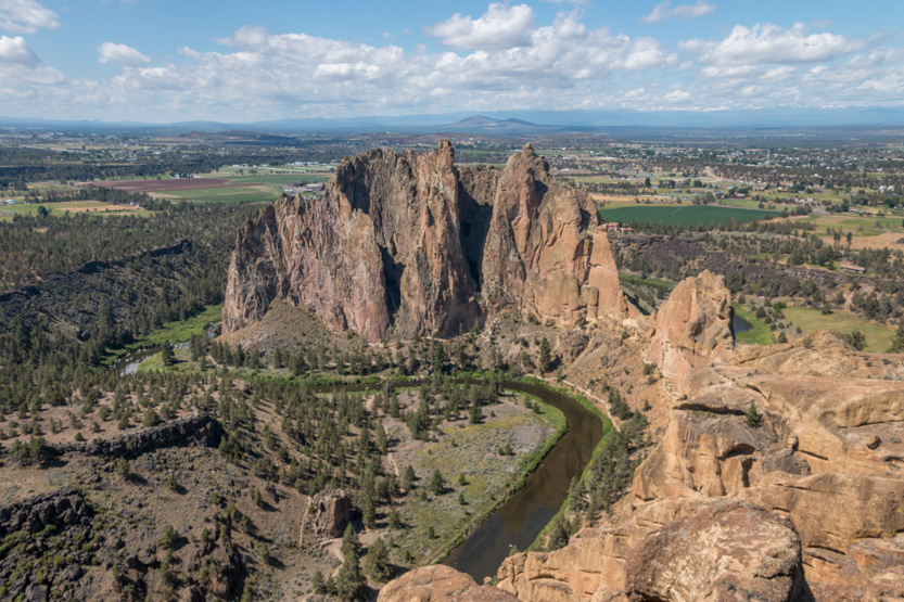
I was on a very narrow rock.

The photosphere.
Heading back to Jennie.

She patiently waited again while I climbed to the very top.


Looking back down at her.

You could also see down the front side, they way we had come, to the “top” of the trail.


The photosphere.
Now we started the very steep switchbacks down the other side next to a pillar called the Monkey Face.
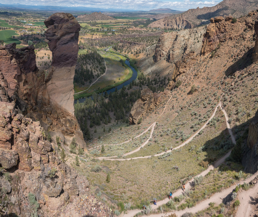
The photosphere.


Another photosphere.

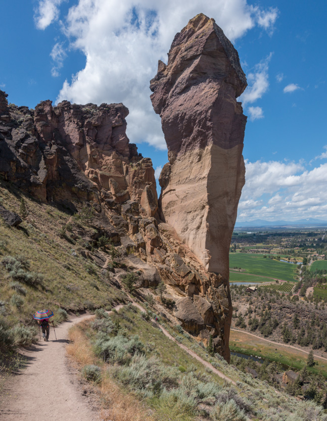
Looking back up.

At one spot the wall was covered in small holes, into which everyone had placed rocks.


Looking west towards the mountains.

Down towards the river.

There are lots of climbers along the back walls.

The next section ran beside the river as it took us south around to the end of the ridge. It was especially hot here.

Looking back.
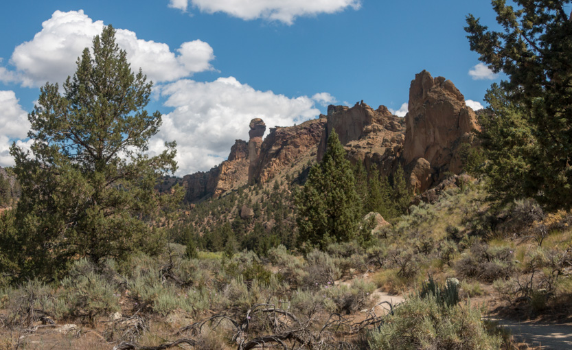


Heading around the very abrupt end of the ridge.

And starting back north. Again the picture compress just how much these cliff towered over us.
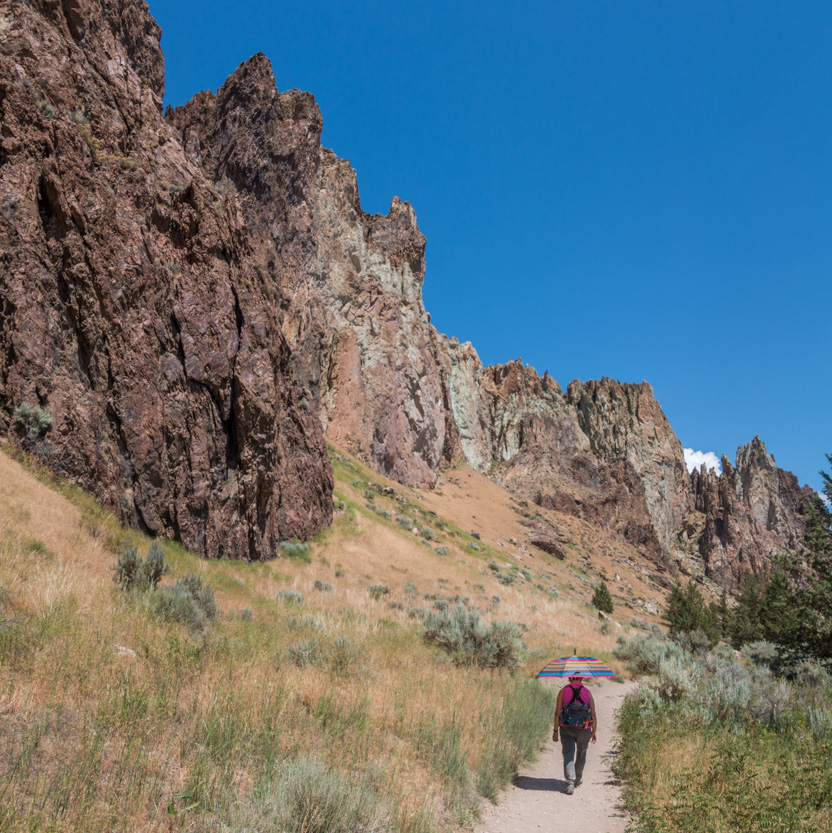
A photosphere.
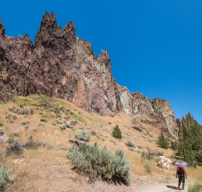
Another photosphere.
Then into the part of the trail that I could see from the top.


More climbers. The dark spot on the light section below.


Somebody stood under that “small” rock sticking out at the right of the picture above.

Coming to the last turn. We could see the cars on top of the valley edge.

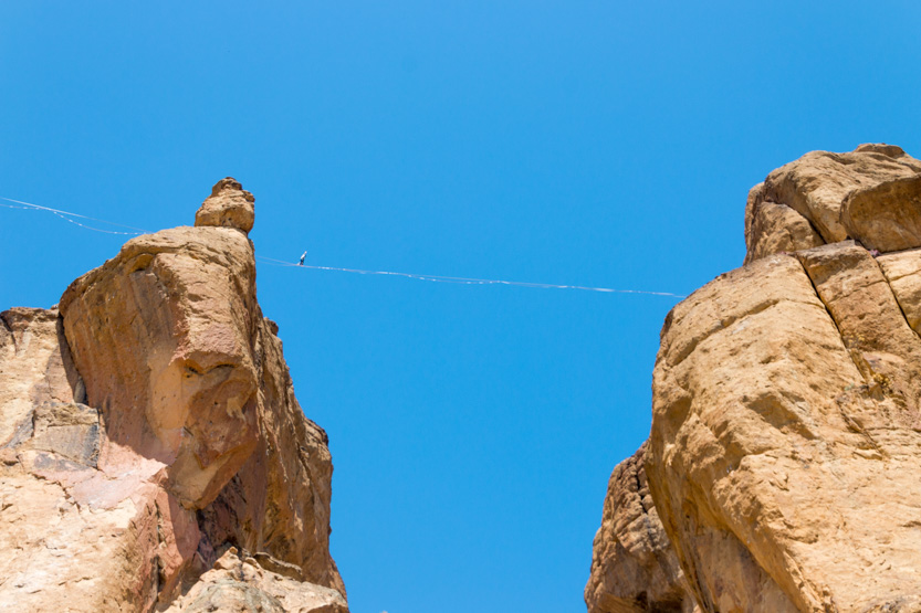
Then we looked up and saw someone starting across s slack line. Not in a million years!


They fell once.

But swung themselves back up and eventually made it across.

And finally back around to the Red Wall. The starting switchbacks are just over Jennie.

A final photosphere.
The climb back up from the river to the car was especially exhausting.


The wider view.

It was in the high 20sC today. Without the heat we would have no problem with the trail but with that to contend with, we were wiped out.
Still worth it though, for that amazing scenery!
No comments:
Post a Comment