Today we did a looping drive northwest to explore the McKenzie Highway Scenic Byway (#242), that runs between Sisters and Belknap Springs.
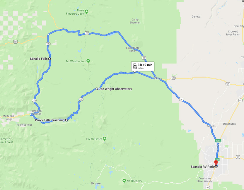
I don’t actually recall much of the highway itself. It is pretty narrow and there were so many turns that I kept my eyes on the road. We were mostly in the trees anyway.
At the top of McKenzie Pass is the Dee Wright Observatory. After the depression in the early 1900s the Civilian Conservation Corps was formed to give people work. This is one of their projects.
The area near the pass in a large relatively new lava field. On top of one of the lava mounds they built this little round building out of lava rocks.
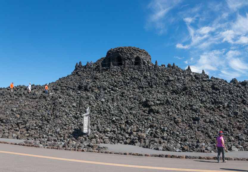
There is a spiral trail up to the top.


A photosphere.
I forgot to take a proper inside picture. The walls are about a foot thick. There are big windows but also small tunnel like ones that point out the various mountains and other features in the distance.


There are also stairs up to the roof.

The big dial has arrows to the points of interest as well. The Three Sisters Mountains are behind Jennie, to the south.

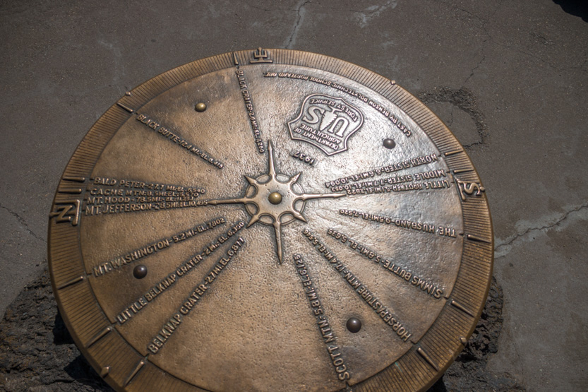
To the north are Mount Washington and Mount Jefferson.
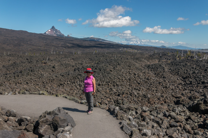
Washington.
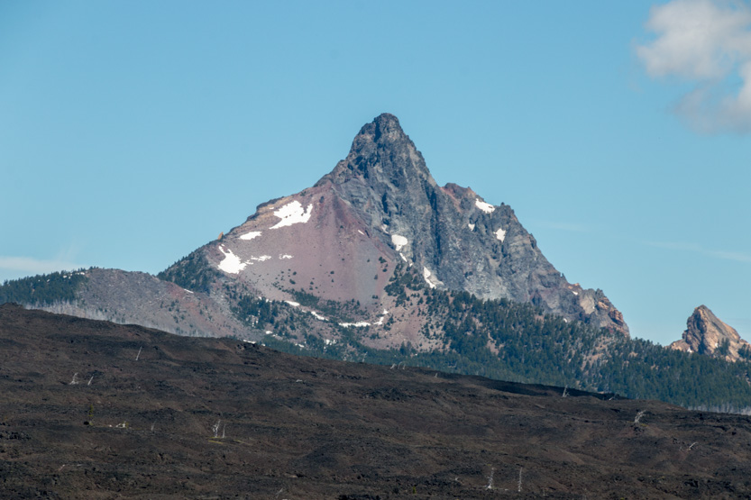
Jefferson.

I did a photosphere from the roof where I walked around the edge as I did it, to effectively remove the building from the picture so it doesn’t block any of the views.
There is a short trail out into the lava field with interpretive signs that explain the various features.

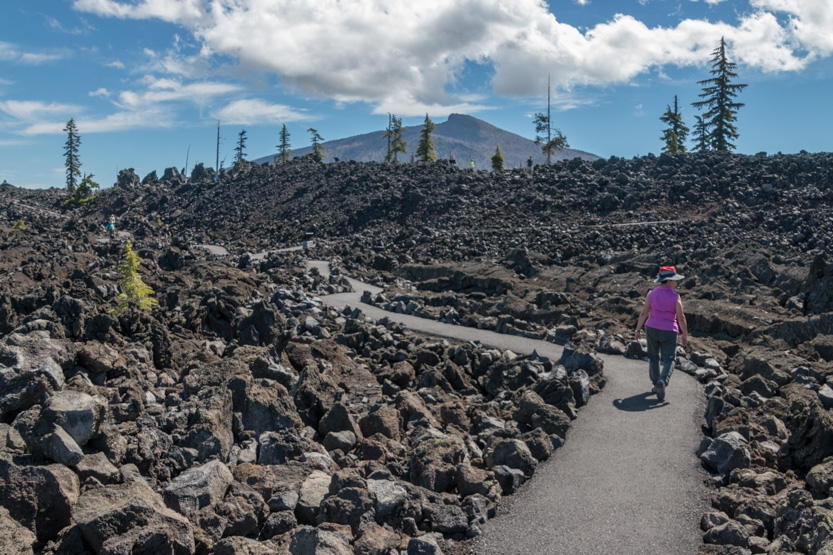
On the way up we had driven through clouds of butterflies. They were here in abundance as well. They seemed to like to land on the light coloured pedestals.
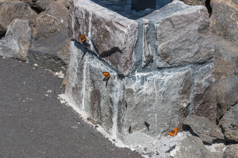
They also really liked this small patch of slightly darker pavement.
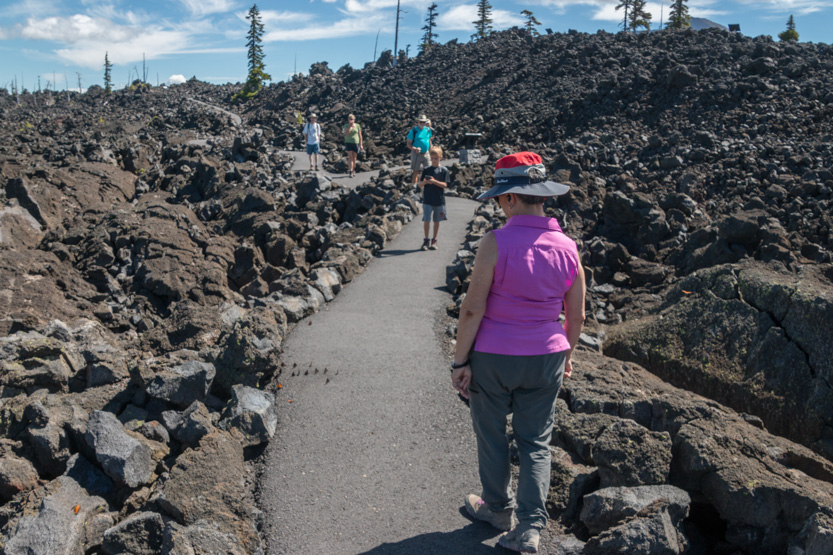


A photosphere.

Looking back at the observatory.

At times it got pretty busy.
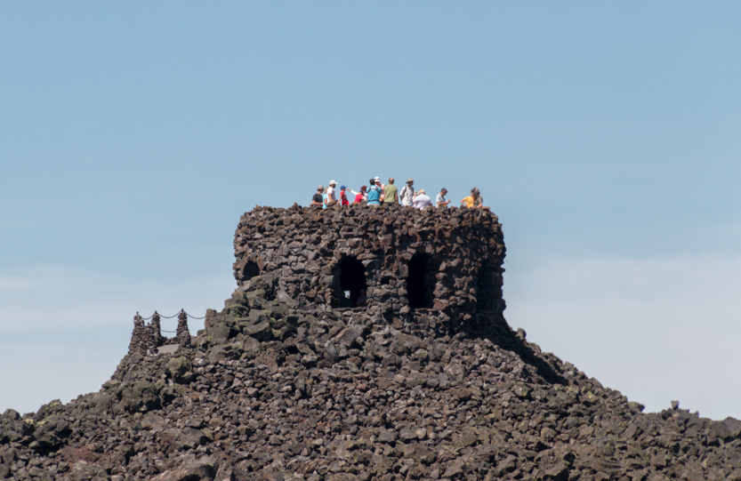
I took the low road and Jennie took the high road.

A photosphere.
Heading back. I realize now that I forgot to take a picture of the source of all the lava, Belknap Crater. It is just visible off to the right in the picture below, and in the photospheres.

Moving on down the very twisty road we did the short hike to Lower and Upper Proxy Falls.

More lava to walk through on the way.

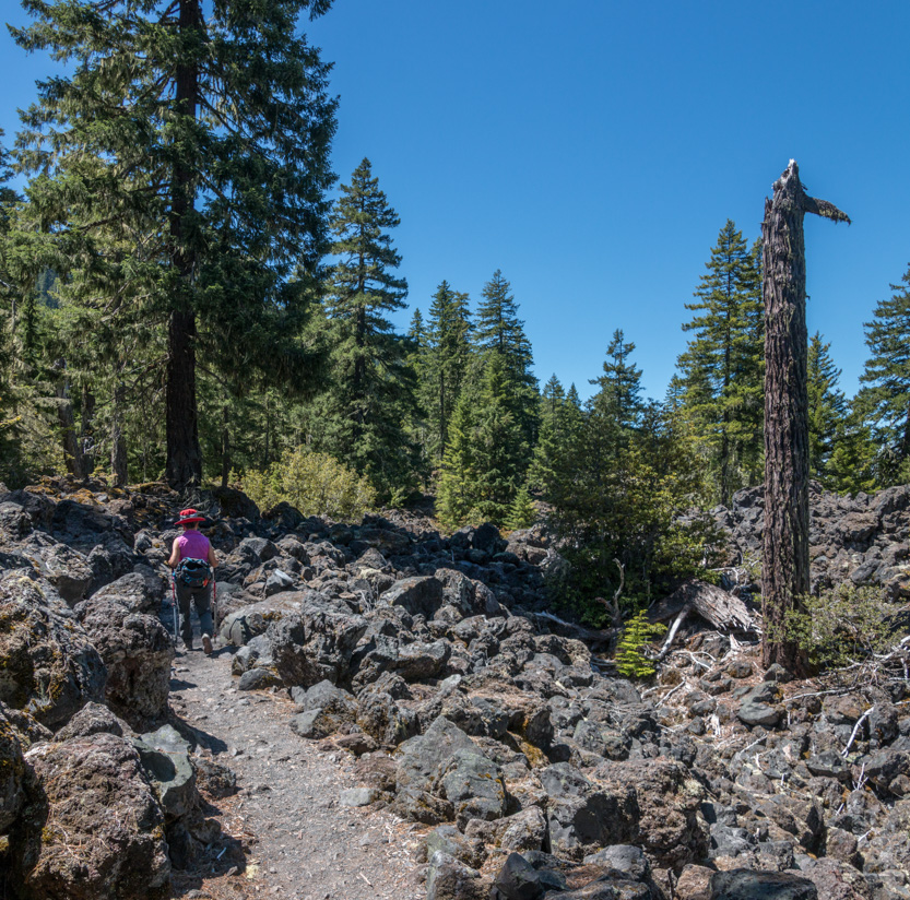
In some places you really had to watch your footing.

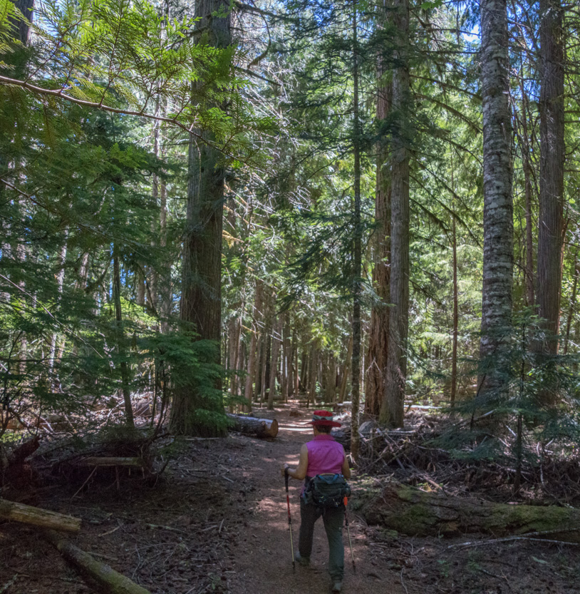
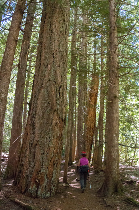
Then down into the forest of giant trees.
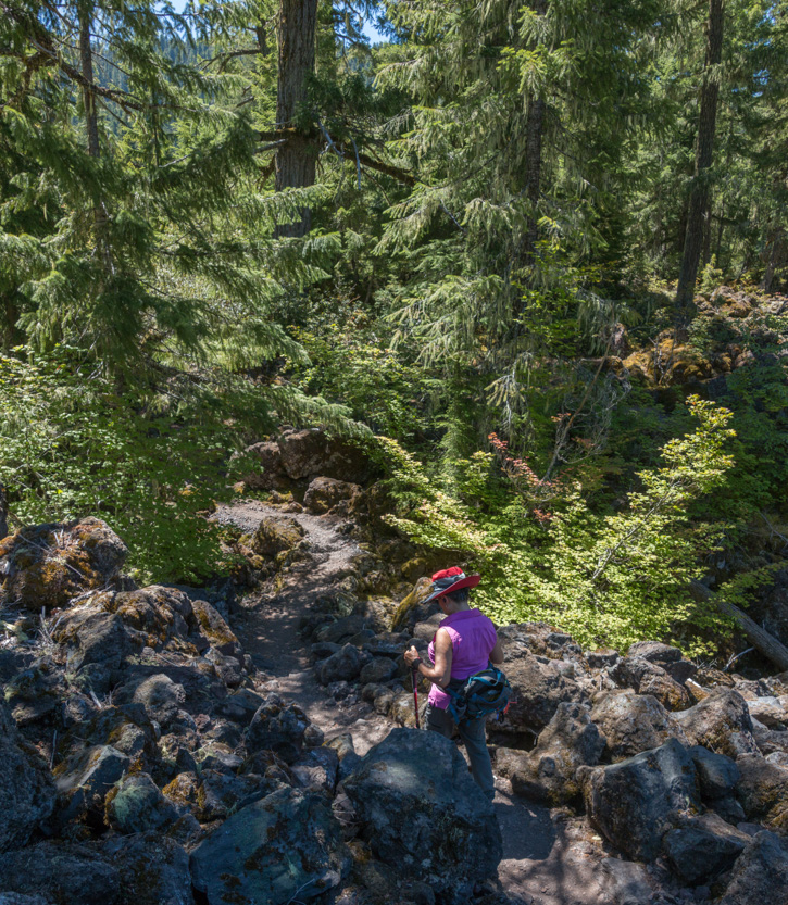
This is not a giant tree.
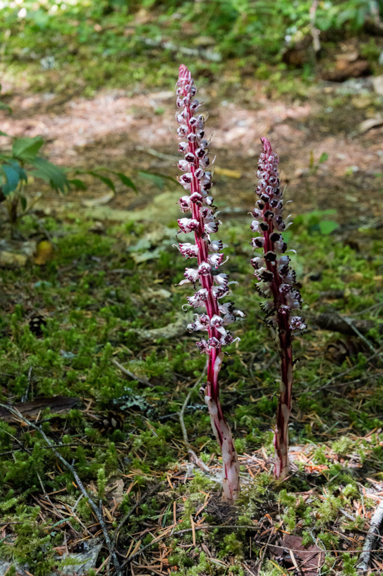
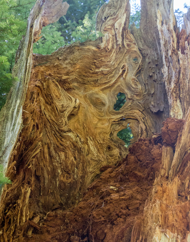
Some interesting swirls on the old stump.
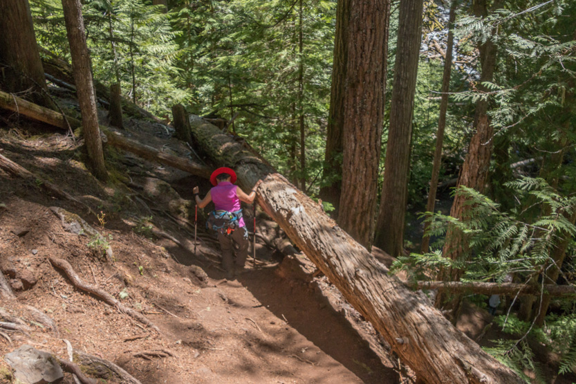
The side trail down to the Lower Falls was steep and you had to duck under this log.
Once down t the creek, we had to scramble over a lot of large logs to get close to the falls.
Sunny days like this are great for looking at the falls but cloudy days are much better for taking pictures.
I am not very happy with any of the waterfall pictures today. For some reason they all seem to be slightly out of focus. Also with the sun where it was, there are very bright patches of water surrounded by a very dark background. I will just include a few to remember what we saw.
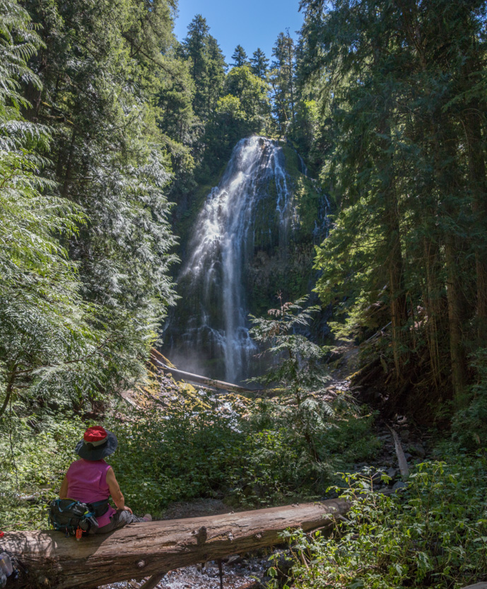
Our lunch spot. The falls are 229 feet tall.
The photosphere. It is pretty over exposed as well.
It’s easier to judge the size with some people closer to them.

There is a woman on the log in the lower left corner, below.

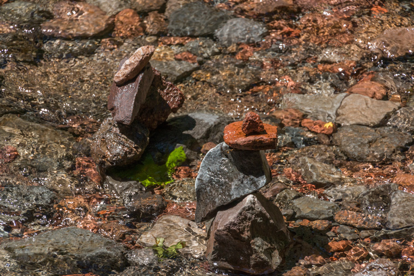
Jennie built some rocks piles in the shallow creek.

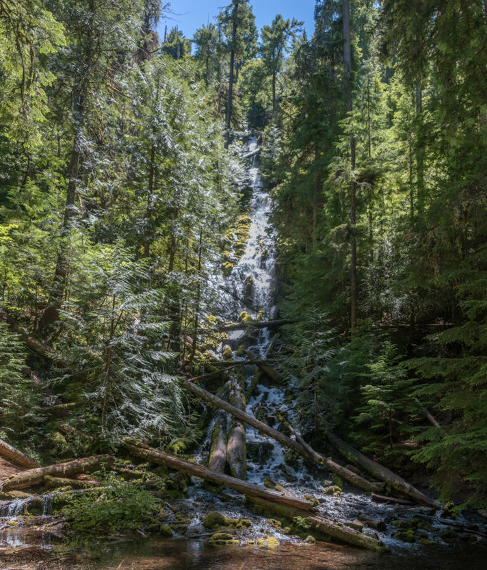
Moving on to 129 foot Upper Proxy Falls. I hate this picture but it the best I could get.
The photosphere, again horribly over exposed.
One interesting thing was that the pool at the bottom of the falls had no obvious outlet. There was no creek or even an underwater cave. Somehow it emerges back up before the lower falls.
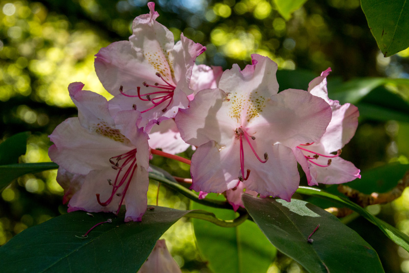
On the way in we had seen some rhododendrons that were past their prime but on the way out we saw this one in a shady spot.

Next was the drive up to Sahalie Falls. They are right next to a very full parking lot.
From the official viewpoint. The falls are 100 feet tall. You can see a person in white just right of the crest.
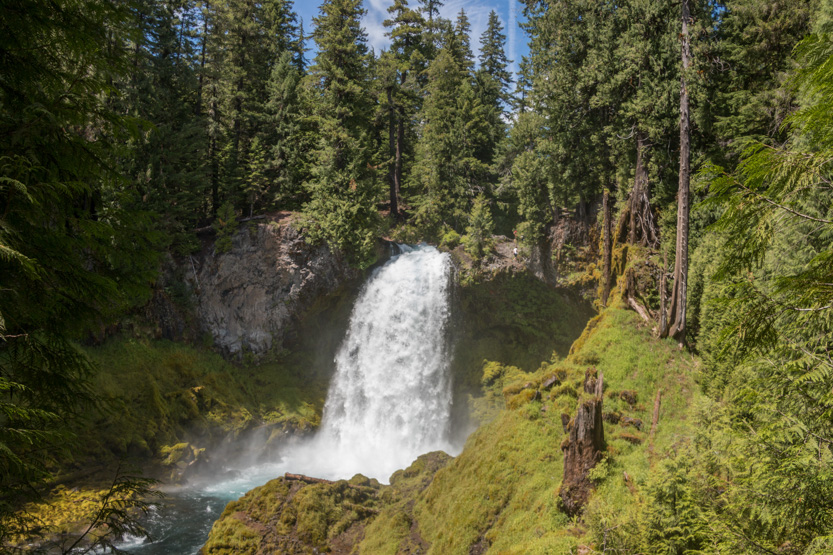
Climbing down a bit.

And right next to the river.

Looking downstream.

The photosphere.
There is a trail that follows the river downstream to another falls for a 2.5 mile round trip but we had had enough.
Then the drive home to complete the loop. Again there was nothing that made me want to stop and look.
No comments:
Post a Comment