Lots of waves crashing on rocky shoreline today.
We did two short hikes in the peninsula just west and south of Halifax.
The first was a 1 km each way, out and back in Herring Cove Provincial Park. The park is mostly undeveloped so the trail that runs along the shore was pretty rough, rocky and rooty.
A beautiful rugged coastline.

A giant car carrier was inbound as we started the hike,
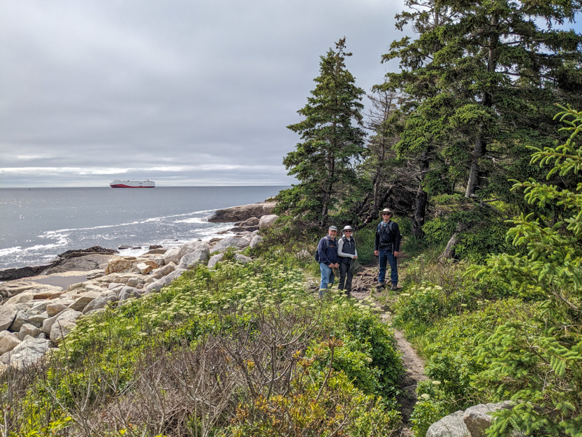
A few wet spots.

Some irises.

It was a bit grey out but the temperature was nice for hiking.

The trail was mostly just a worn path through the bushes.


Our destination was a hill with a mysterious pile of rocks on top.
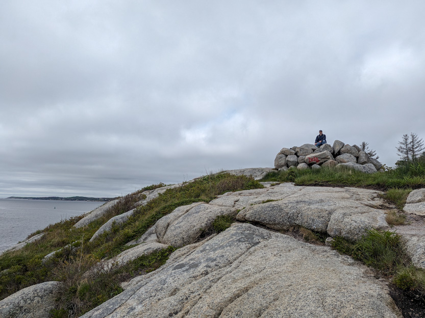
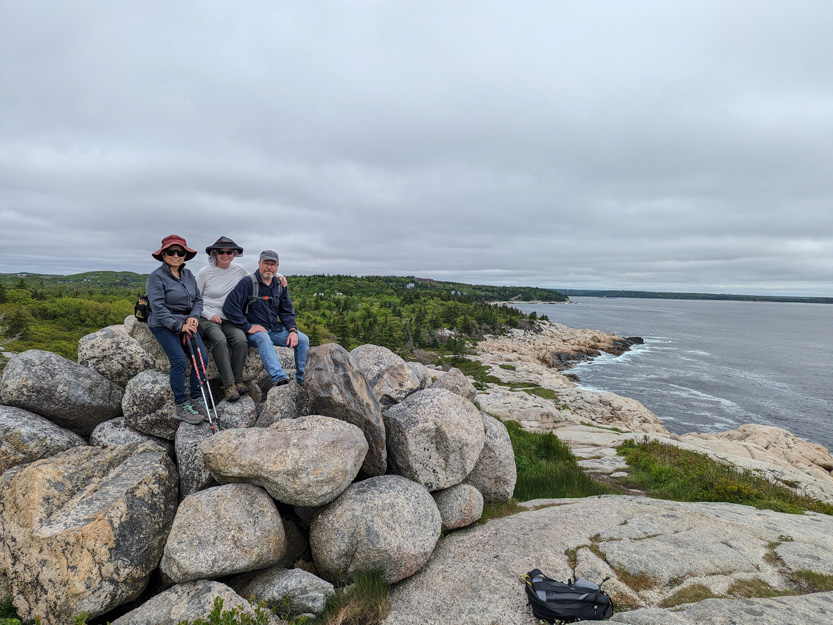
A photosphere.
After staring for a while, we headed back.
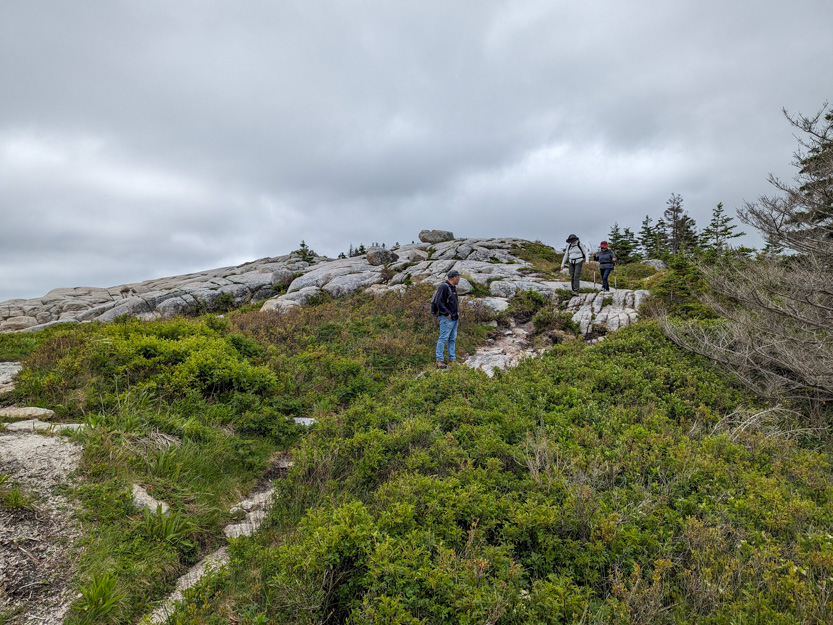
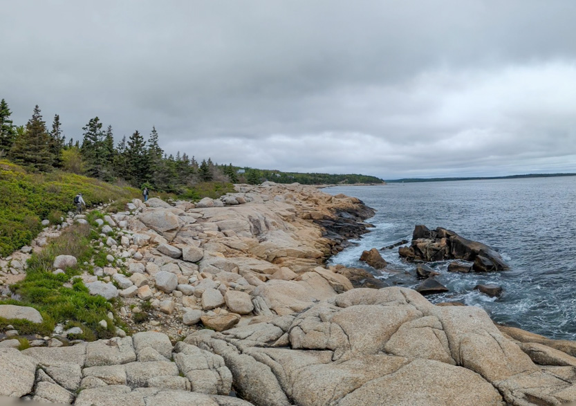
Someone came out to fish off the rocks.

Next up was Crystal Crescent Provincial Park, right down at the bottom of the peninsula.
There are two beautiful sand beaches. This place must get very busy when it is warmer because each beach has absolutely huge parking lots.

The weird thing is that there is very little signage as to how to get here. At first we missed the turn into the park. It was to a dirt road with only a hand painted wood board that said “Beach”.
The parking lot for the first beach is right next to the beach. To get to the second one you have to hike down a bit from the above massive packing lot. The trail we were on is called Pennant Point Trail and is an 8 km loop around the end of the point. We knew that we were only going to go until we felt like turning back, which turned out to be 2 km into the trail.
Down we go.
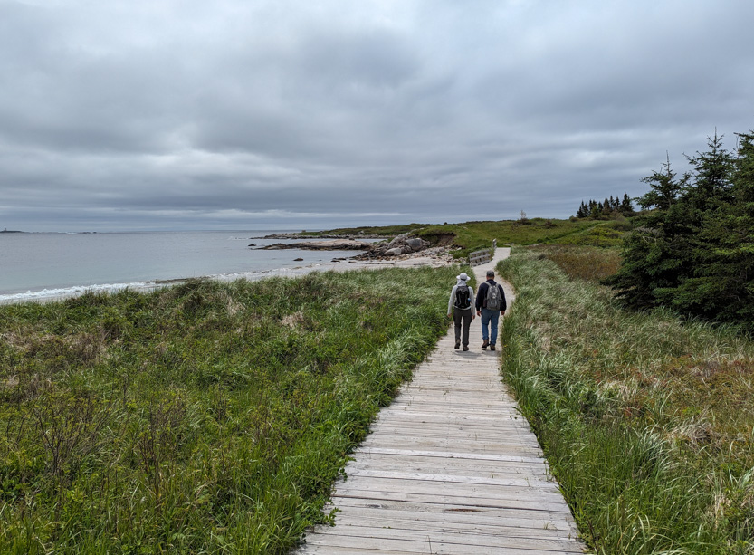

A photosphere.
Onwards.

First we had to check out this pond that was just teeming with tadpoles and minnows.

The first kilometer of the trail is a nice wide path that cuts up and over a point where the shoreline is too rough for the trail to follow, down to another beach. On Google maps this beach is labelled as Crystal Crescent Naturist (i.e. nudist) Beach. It was too cold today.
Time to ask Google Lens what some of the plants were named.

We decided to have lunch up on the rocks that look down on the end of the beach.

Out onto the beach, over a small stream and then up on the rocky point.
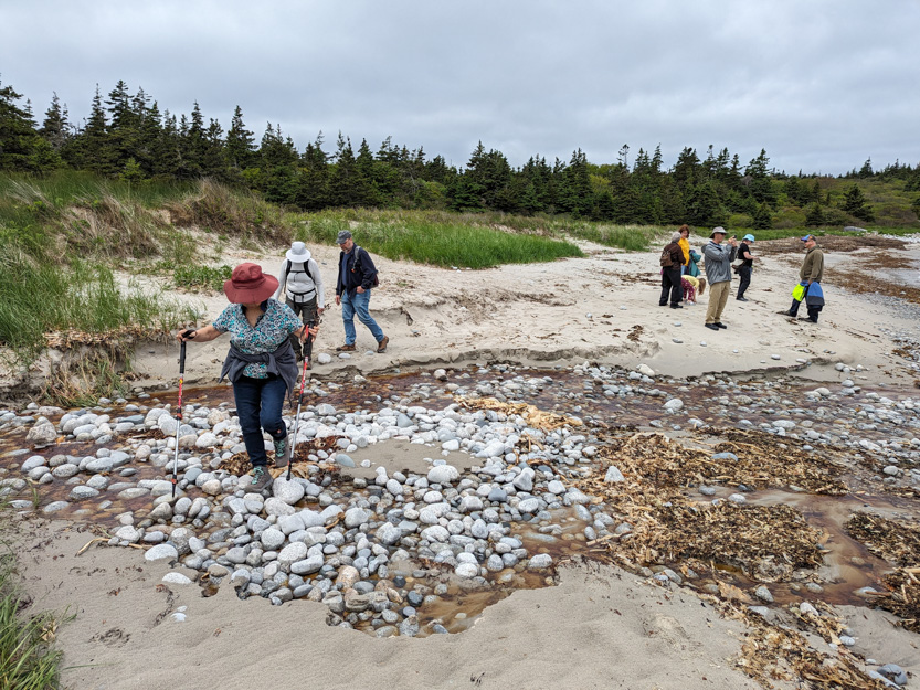
Lunch time.


The photosphere.
And time to watch the crashing waves as some big rollers were coming in.
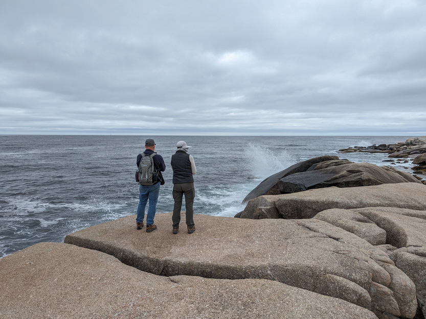

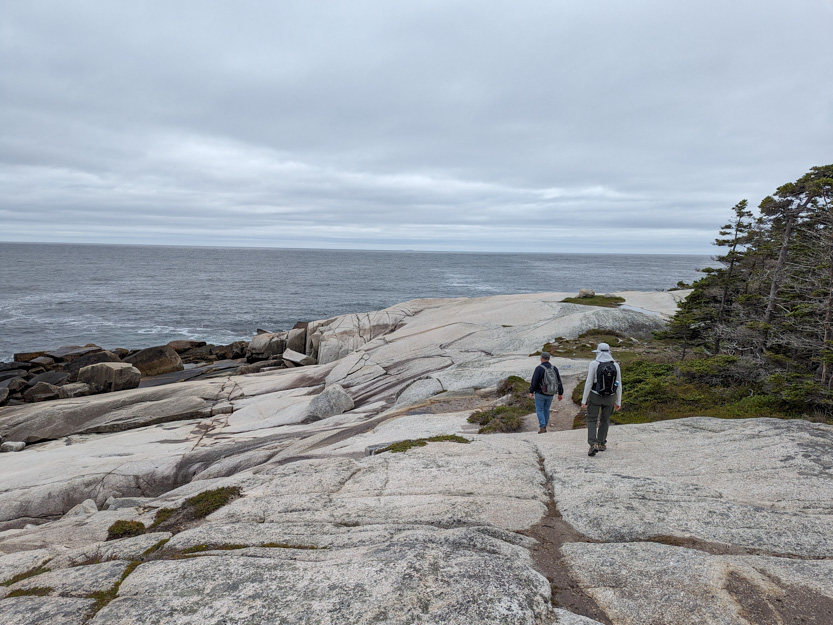
For the next kilometer the trail got much rougher and was much like the Herring Cove Trail.


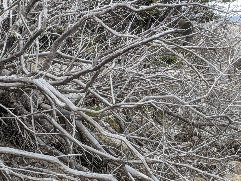
An interesting jumble of dead branches.
We stopped at another “beach” called Deep Cove.
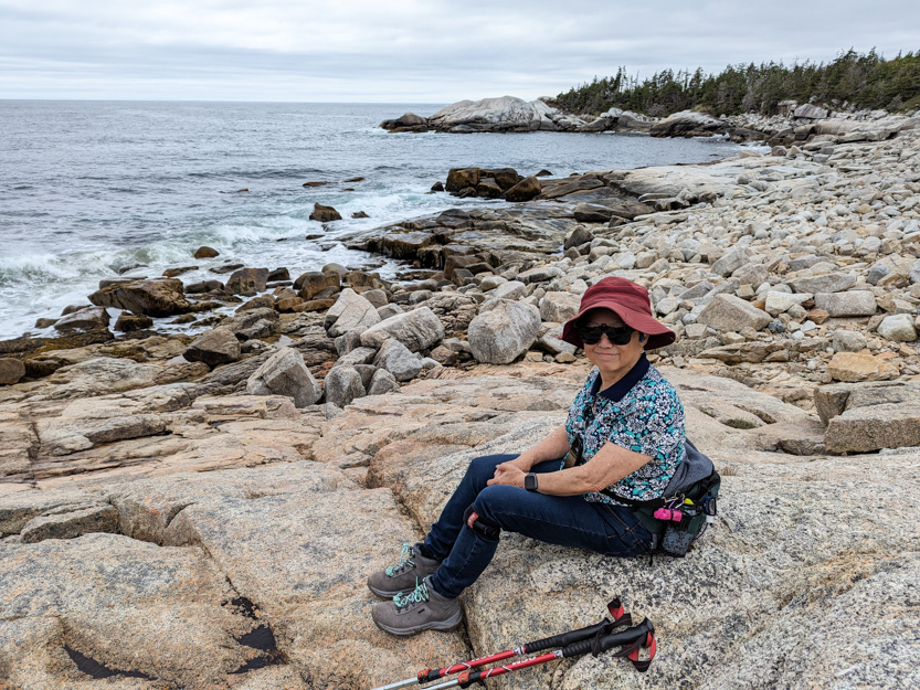
I walked down to a rocky point.
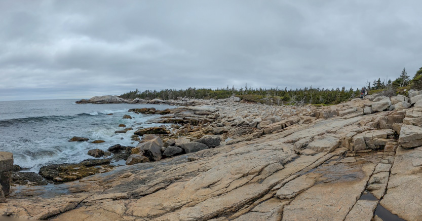
You can just barely see Jennie, Heather and Mark in the upper right.
The photosphere.
There are a lot of military bases around Halifax. At Herring Cove we had seen two ships head out to sea. Earlier here, a military helicopter flew by.

Then as I stood on the point a military plane kept doing circles out over the bay.
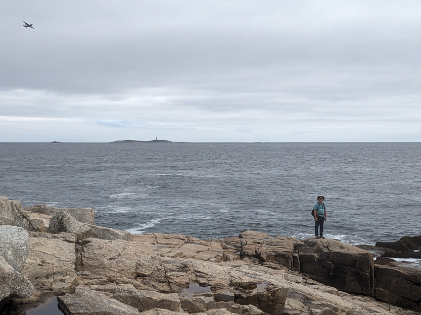
We sat for a while and then headed back.
Even though we only did about 6 km today, the roughness and having to be very careful with our footing wore us out. (It had nothing to do with our age). We went back to our respective abodes for a nap before going out for dinner at Jim’s Family Restaurant for some more seafood.
Love that beautiful rugged coastline! I checked out Jim's Family Restaurant menu,- drooling now!
ReplyDelete