Yesterday we did the 6 hour drive to our campsite at the Broad Cove campground of Cape Breton Highlands National Park, near Ingonish Nova Scotia.
The drive was fine until we got onto the Cabot Trail which goes around the northern “arm” of Cape Breton.The first part was very up and down with lots of narrow curves. Once we got on the main section, the road got better for a while. But we both noticed a slash way up high across a mountain in front on us. Then we saw cars on it and realized that we had to climb up there.
Now going up hill is not much of a problem, we just creep up with the engine screaming in first gear and hope no one has to follow us. The thing that scared me a bit was the thought of having to drive down this because it was so steep with a LOT of curves and no place to stop. The RV’s first gear is not low enough to keep it going slow enough to make all the curves so I would have to brake a lot with the ever present danger of the brakes overheating and failing altogether. Together with the car, our load is about 11 tons so that is tough on the brakes.
I was hoping to drive over the top of the loop of the Cabot Trail to get to our next campground near Cheticamp. I looked at the elevation profile of the route and there at least two very steep hills to climb and corresponding very steep downhills. I still haven’t decided if we will go that way or go back down around the bottom of the loop which is at least an extra hour.
Anyway the view from the top of the hill was pretty great.
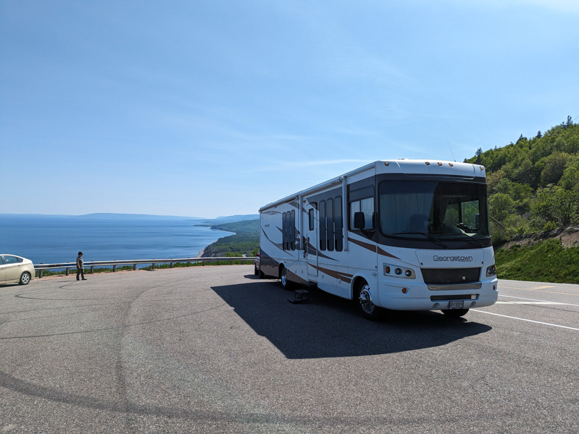
You can see the road way, WAY down there.

I picked an open campsite so we can get TV but there is no shade and it was very hot yesterday and even hotter today.
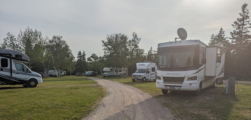
It is a full service site and I didn’t realize that it has 50 amp power meaning that we can run all our stuff at once, especially both air conditioners.
Today we started with the just under 4 km hike out to the end of Middle Head.

You will notice that there is a golf course at the start of the head. There are several in the area and it looks like they have a lot of water hazards because normally around campgrounds you see firewood for sale but here it is buckets of golf balls along the side of the road.
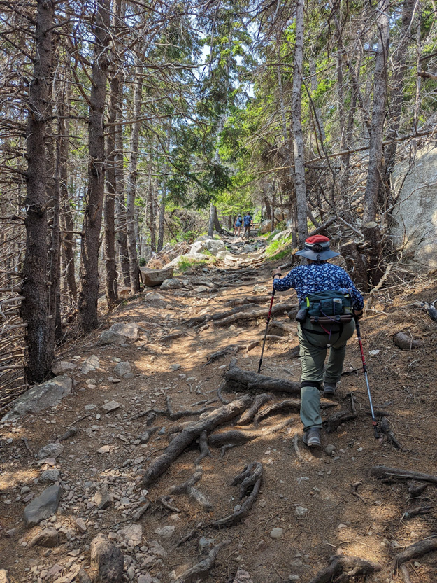
The Middle Head Trail is wide and not too tough. The usual amount of roots, only one wet spot and only one long climb on the way back.
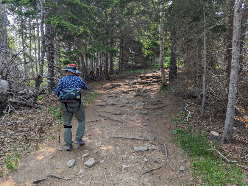
Hurricane Fiona certainly made a mess here. Lots of downed trees and there is normally a loop in the trail but it still has not been cleared out.

The trail is mostly in the forest with the occasional view out from the cliffs.
Looking back towards Ingonish Beach.
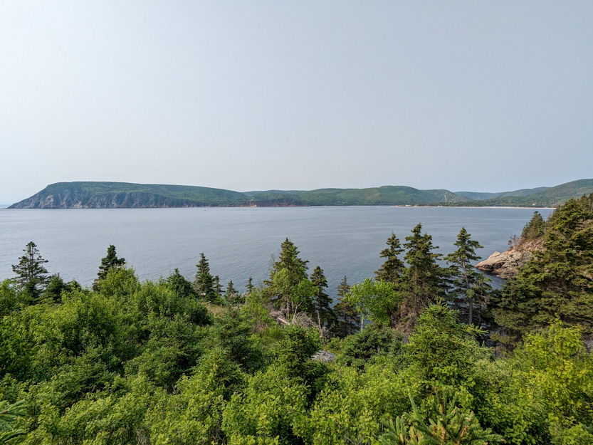
You can see the trails of the Cape Smokey Ski Hill.
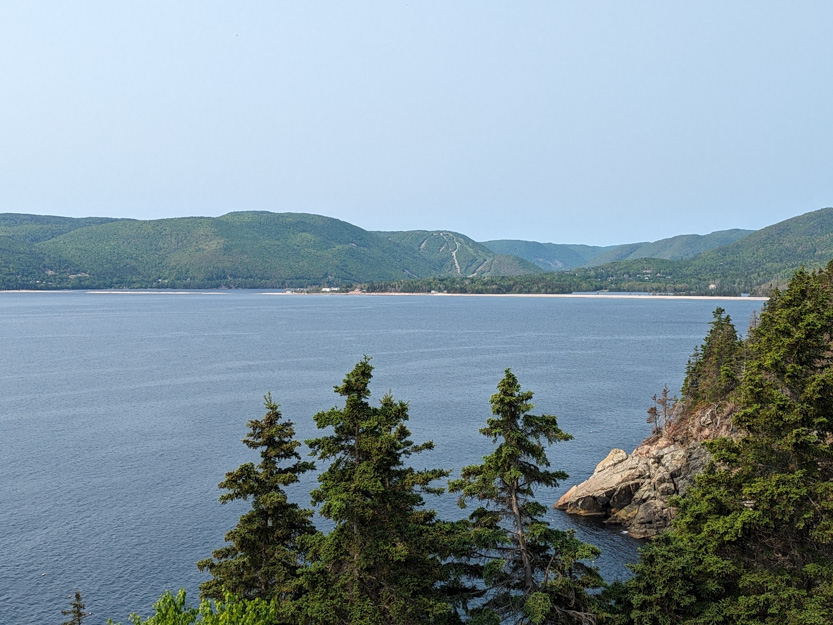
Lots of steep cliffs to peer over.
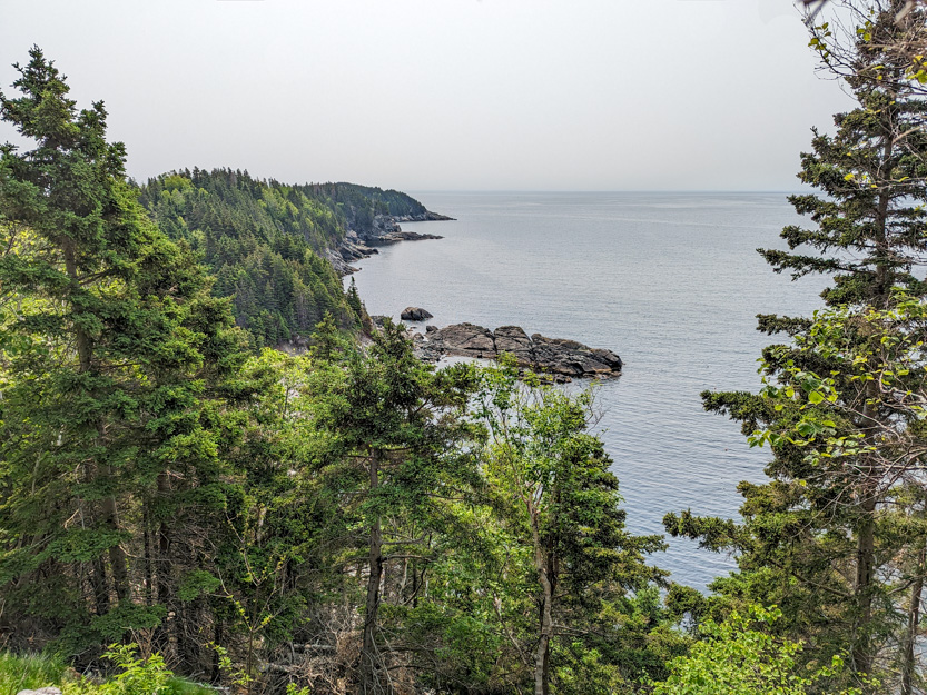

There is an open section near the middle of the trail.

The side trail by Jennie leads to this view.

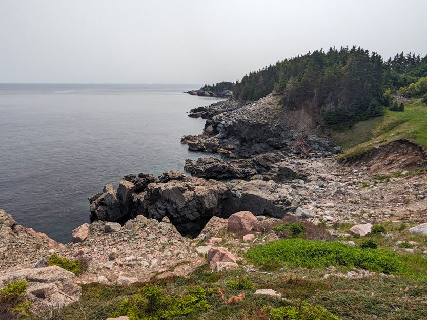
And the photosphere.
The next viewpoint or Lookoff, as they call them in this area.
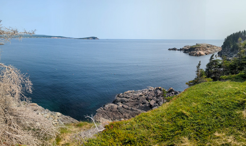
There are lobster trap buoys everywhere along the shore.


Me down at the next Lookoff.
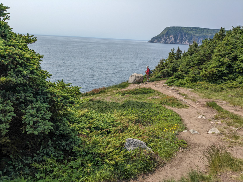

The photosphere..
Almost at the head.
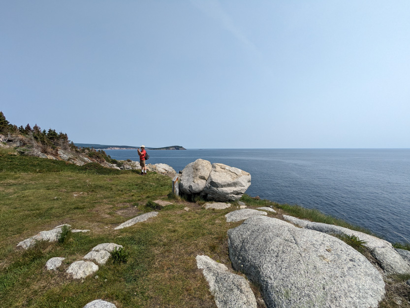
And the photosphere
Looking towards the actual head and the tiny people out there.
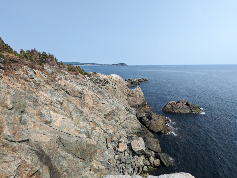
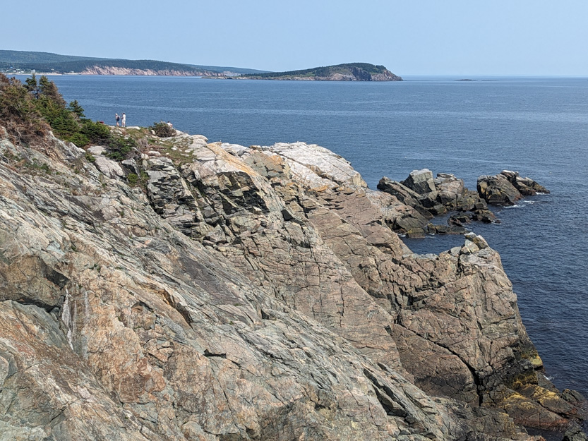
There were lots more downed trees here.

And a nice spot for a rest.
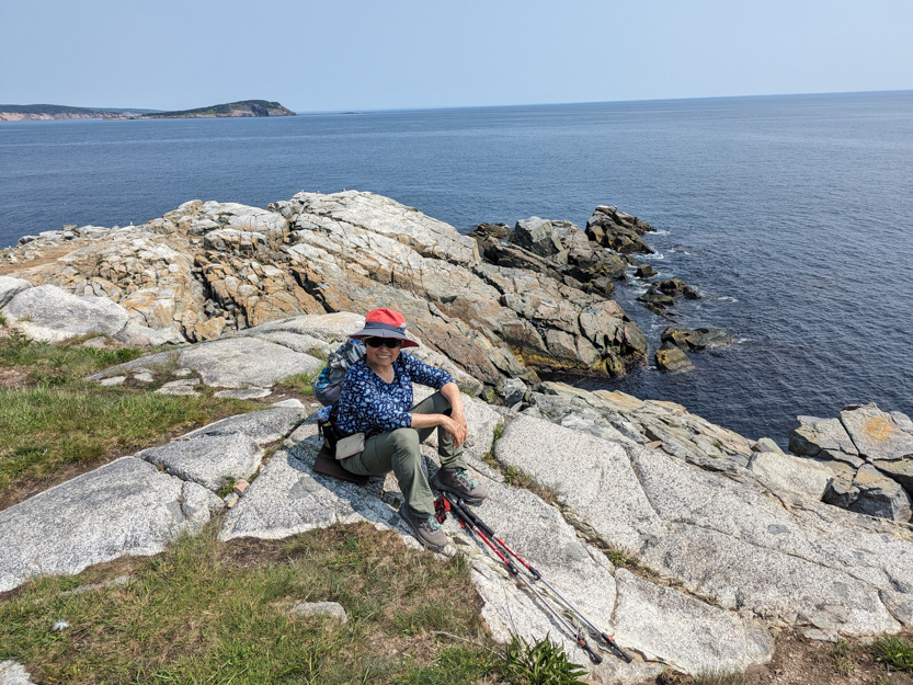
Yet another photosphere.
The national park red chairs which were solidly bolted down at the best viewpoints, did not survive the hurricane.

Next to the head there is a rocky island with nesting birds.


And, of course, a photosphere (with a blurry spot that I don’t understand).
Heading back.

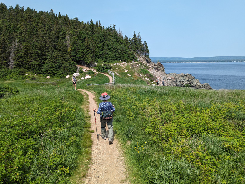
This was a long steep climb.
Back at the trailhead there is what looks like a beautiful place called the Keltic Lodge

By now it was near lunch time and it was now blazing hot so we drove north a short distance to the Green Cove Trail to find a cool spot to eat.
The “trail” is really just a set of stair out to a very interesting rocky promontory right next to the road.
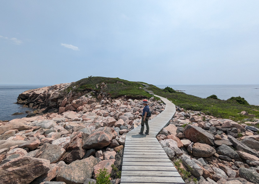
A pretty great lunch spot with no shade but a cool breeze.

The photosphere.
The rocks are crisscrossed with veins of what looked like quartz and something very reflective like mica.


Since the weather for the rest of our time here did not look that great we were trying to cram in as much into this day as possible.
Next we were going to do the short southern section of the Coastal trail that is still open. But first down to the nearby beach for the washrooms.

The trail run along that point.
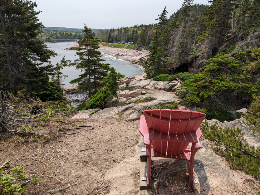
A red chair at a viewpoint.

And, I guess, a crime scene on the beach.

To the viewpoint.
AND A WATERFALL! It was small but we’ll take it.

There was a larger waterfall as the creek fell into the ocean but we couldn’t really see much of it.

And a photosphere.
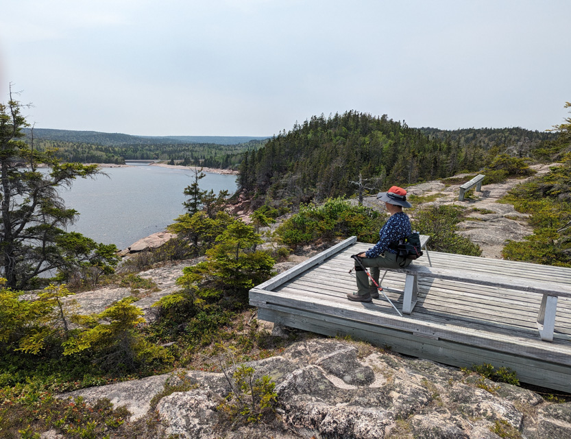
This is next and last viewpoint today, for us because we were just too hot.
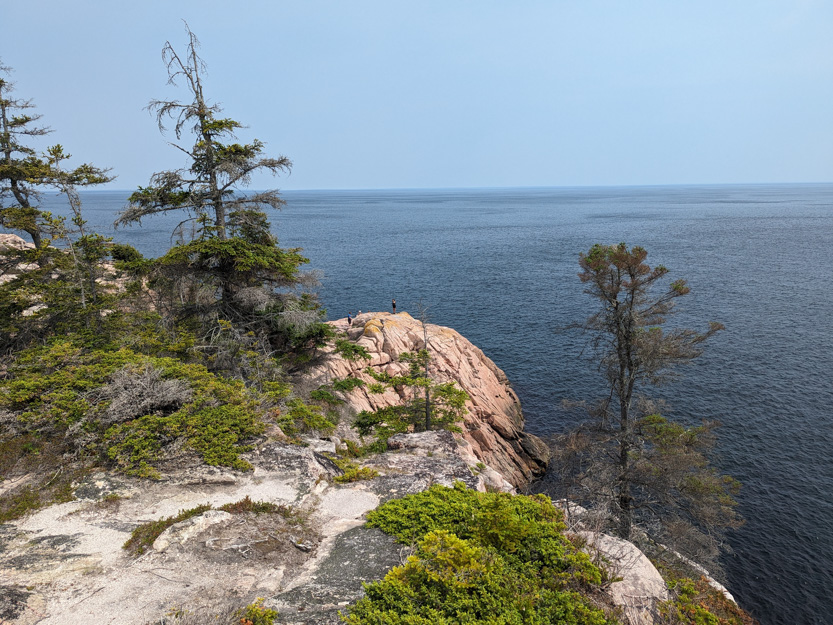
Here are some people, down on the real last viewpoint before the trail was closed.
We are in a bit of a seafood overload but I read that The Chowder House was very good and a must try so we headed bit farther north to Neil’s Harbour.
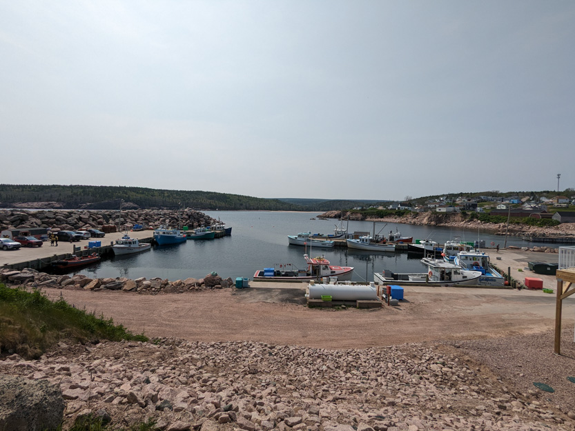
Lighthouses for sale.

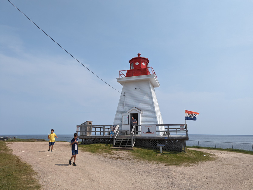
Just before the restaurant there was a real lighthouse that now sells ice cream. With the heat we couldn’t resist. It was very good ice cream.

And then home to recover in the RV with the air conditioners going full blast.
What a steep hill climb for The Best! I just watched the 1953 movie The Long, Long Trailer with Lucille Ball and Desi Arnaz. There's a funny scene of them pulling their trailer up a very steep slope with a sheer drop hundreds of feet to their passenger side with Lucy staring with wide eyes in fear! You make it look easy!! The photos of the rooty trail look pretty challenging and the views from the summit are breathtaking! Beautiful!!
ReplyDeleteThe Beast IS The Best!!!
ReplyDelete