Tuesday, the 27th, true to the forecast for a change, it poured rain all day so we stayed home.
This guy thought it would be a good time to wash what I thought was a perfectly clean RV, I guess so the rain would rinse it for him.

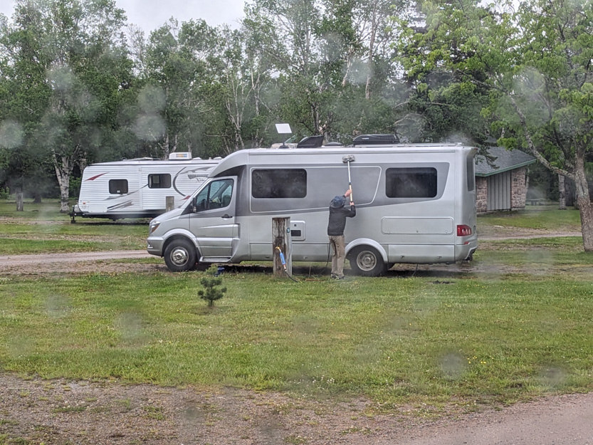
Of course, he got soaked and I still saw him throwing buckets of water at the RV to rinse it.
You may notice the Starlink Internet antenna on his roof. We are seeing more and more of them and wish we had one but for this short trip it was not worth it. If we do another multi month trip I think I will try to get it.
On Wednesday the 27th we drove to the other side of Cape Breton Highlands National Park to a campground near Cheticamp.

I decided to save the RV and myself some stress and not drive around the top of the loop. Going this way there was only one steep relatively short down hill. Going around the top there would have been 3 steep climbs and worse steep long downhills. Also the parts of the Cabot trail that are not in the park going around the top are in terrible shape. Very narrow with no shoulder with lots of patches and potholes, as we learned on our drive to the Kauzmann Trail.
Going this way did take about three hour which was about an hour longer than going around the top but it would have been faster if we could have taken the Englishtown Ferry.
There are two ways to get from the Trans Canada Highway up to Ingonish. You can take a 25 km very twisty road around the end of a bay or take a 5 minute ferry ride.
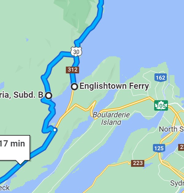
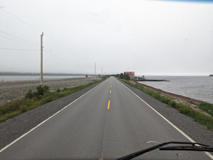
Heading to Ingonish I wasn’t sure about the Ferry, so I had taken the road. Today I thought we would try the ferry.
Waiting in line,
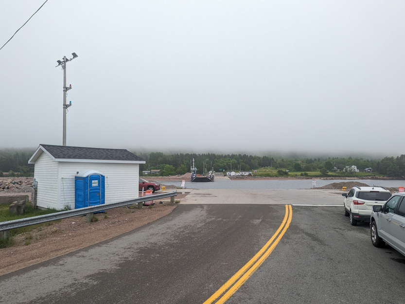
When it arrived I was informed that they couldn’t take us because it was low tide and we, along with any other RV would get caught up on the steep ramp. So we had to turn around and take the twisty road again.
The Waves End RV Park is basically an open field right next to the ocean.
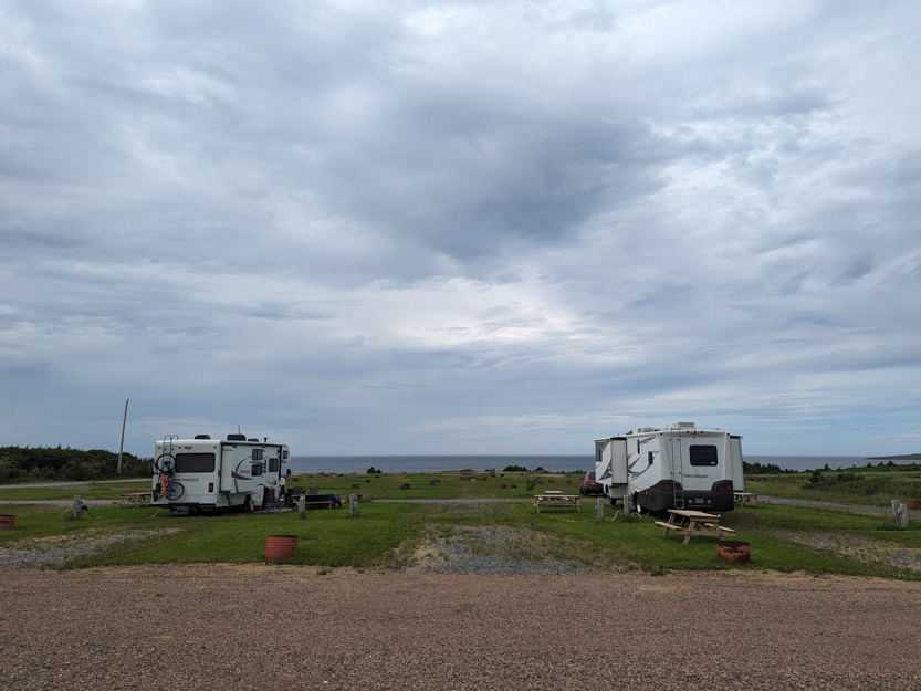

The park is very empty, for now. We’ll see if it gets busier on the weekend. We have water and power but no sewer which is OK because our tanks are big enough for the 5 days here. The internet however is pretty bad, as usual in RV parks, and drops out quite frequently.
The winds are also vicious here. The RV rocked and the canvas awnings flapped all night.
One interesting things they are doing here in this campground, is building this dome in a secluded spot overlooking the cliff by the ocean, that you can rent by the night.

The beach.

The photosphere.
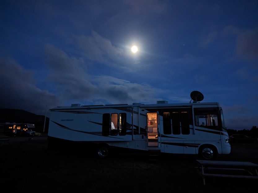
The sun sets directly in front of us. It was a bit cloudy last night but still pretty.

And an almost full moon. I sat and watched the fireflies flicker in the field next to us for a while.
Today was a beautiful, sunny, and hot day. It is the only one in our stay where rain is not forecast.
The one must-do trek here is, The Skyline Trail. It is probably the most popular trail in the province, if not the entire Maritimes,.
It is much like the Kauzmann Trail we just did, in that you must climb a steep road up over 1000 feet vertical, you must hike through a forest before you break out onto a narrow ridge with stunning views.
Except that the steep road up is a wide paved highway.

The parking lot could hold at least a couple of hundred cars. There were at least 60 today.
And the trail through the forest is wide crushed gravel path with no roots or water traps or wet bushes brushing against you.
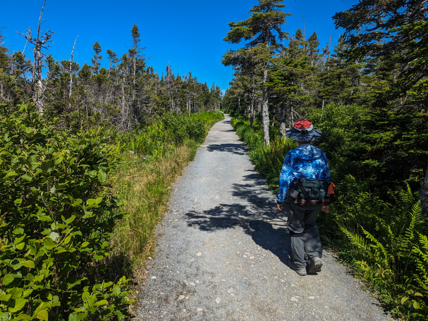
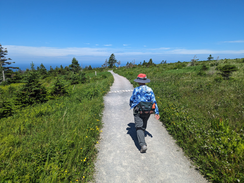
And the path out on the ridge is a boardwalk. Other than that, exactly the same.

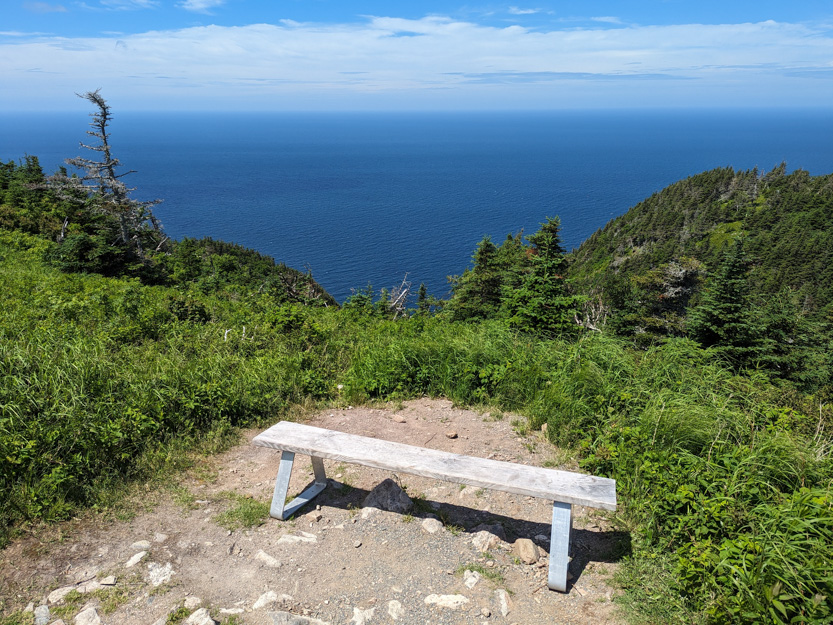
Most people do an out and back just using the lower trail. The trail map showed some lookouts on the upper trail so we did the loop taking it back. There were no lookouts worth the extra distance. In total we did just under 9 km.
The park rangers had a colourful office at the trailhead.

Off we go.
In the two other times we have been here, there are signs talking about how the moose are killing all the large trees. They even have a large fenced of area with gates that we had to go through. I would always scan the fields looking for one, Today one was munching on some leaves right beside the path.
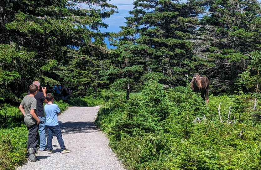
In was a young one and eventually wandering back into the trees where we could one more young one was waiting.

The area of the ridge is protected, a by law state that you are not allowed to leave the boardwalk.

Jennie waited at one of the upper platforms and scanned the ocean for whales.
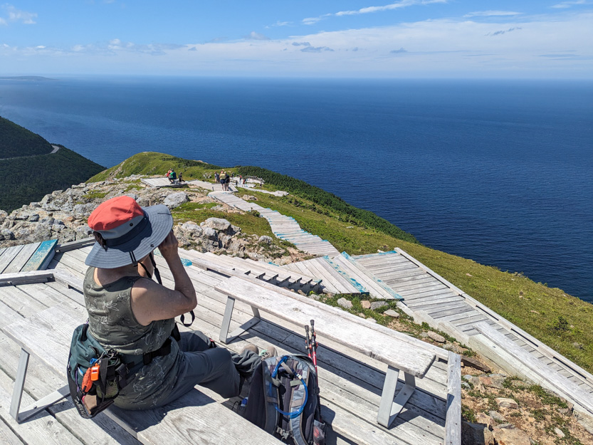
Someone counted and it is 250 steps to the lowest platform. Down I go.

Getting closer.
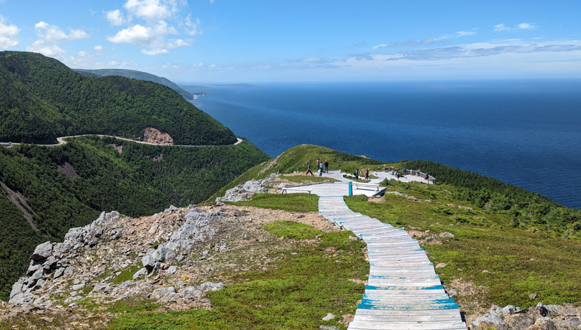
A photosphere.
Made it.
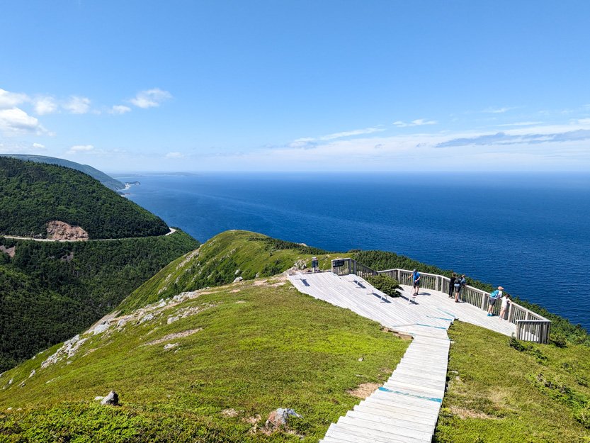
Looking back.

You used to be able to continue out to the end of the ridge but that is not allowed anymore.

Photosphere1 Photosphere2 from the bottom platform.
Then back up to Jennie to have lunch. We watched a boat head out to work.
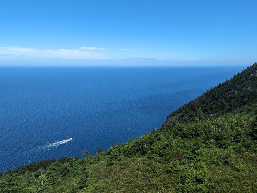
While Jennie was waiting someone said that they could see Minke Whales feeding down below. They barely break the surface and we were told to look for breaking waves that seem to stay in one place.

We scanned with the binoculars for a while but no luck.
The trail on the upper part of the loop was just as well kept.
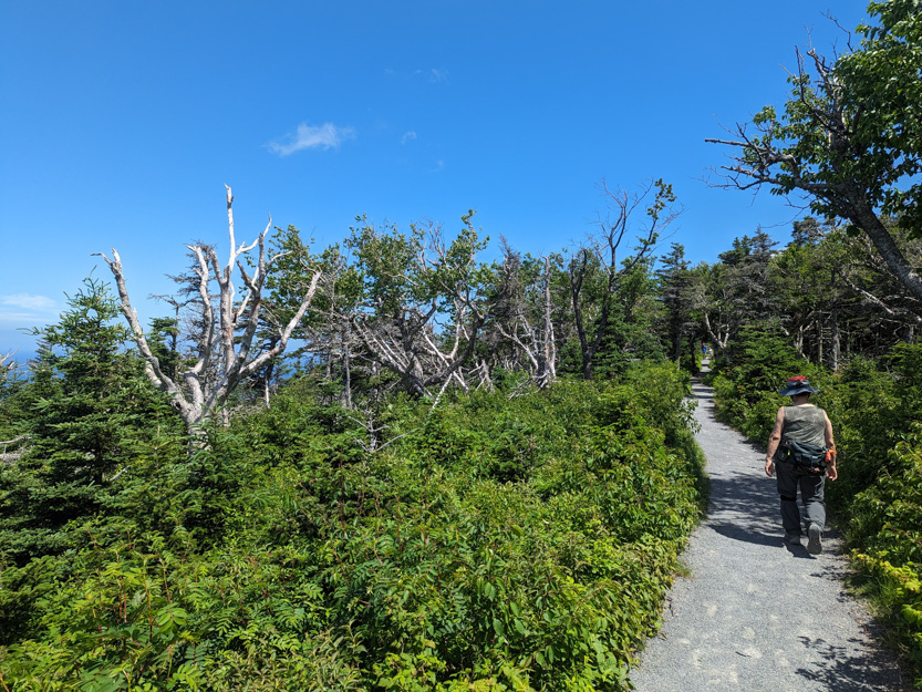
But as I said the lookouts were not worth the extra distance.
This part of the trail seemed to be a constant uphill and very tiring. We couldn’t understand why because on the way out the trail had seemed mostly flat. Then we looked at the elevation profile on my hiking app.

The V in the middle is me going down the boardwalks on the ridge.
A lot of the trail was also out in the open with little shade and it was hot.
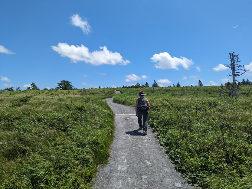
By the time we got back to the car we were very glad that we had left a bottle of ice water in our cooler.
Since it was a nice day we decided to drive a bit farther into the park and checkout the lookouts on the long downhill into Pleasant Bay.

I am very glad I didn’t have to take the RV up or down this section. It was long, steep and had many hairpin turns. We saw on truck pulling a large 5th wheel trailer pull off to the side part way down. Later he pulled into a lookout and I could smell his brakes.
Looking down on Pleasant Bay.


We drove down to the Pleasant Bay harbour and beach.
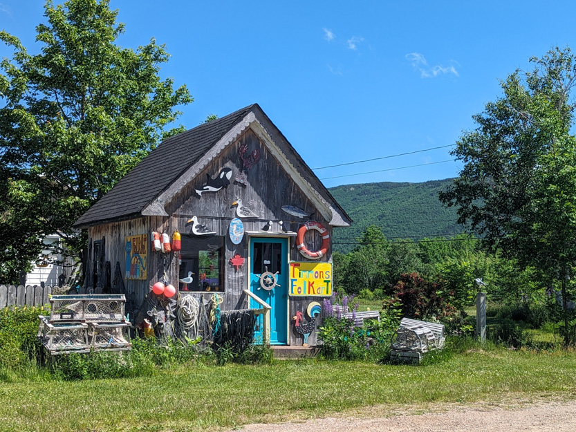

And walked the beach for a short while.

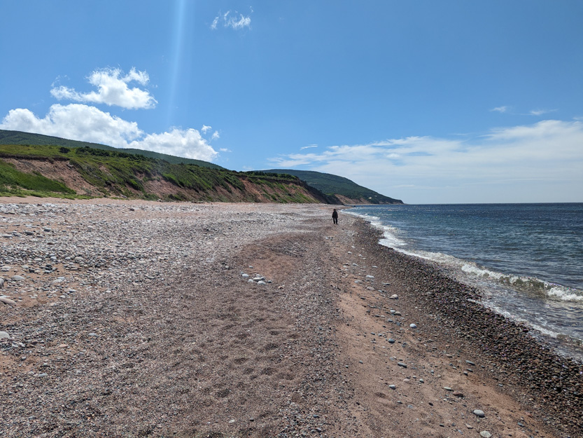
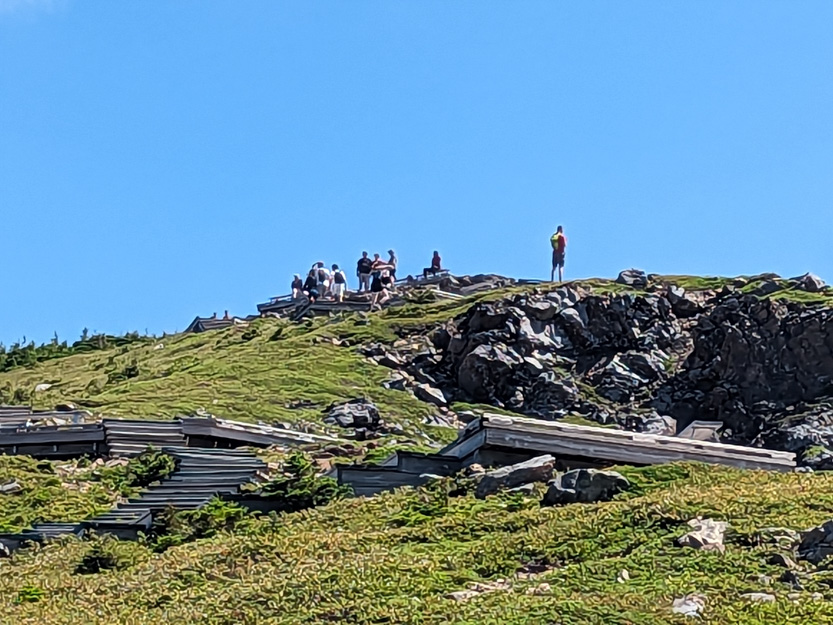
Heading back we stopped at a lookout below the Skyline Trail ridge.
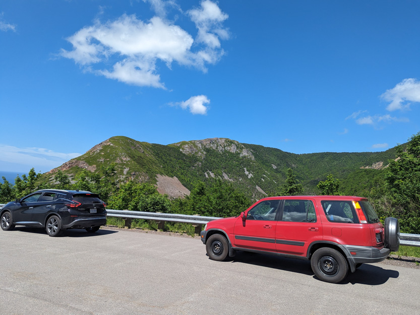
To see the tiny people up there.
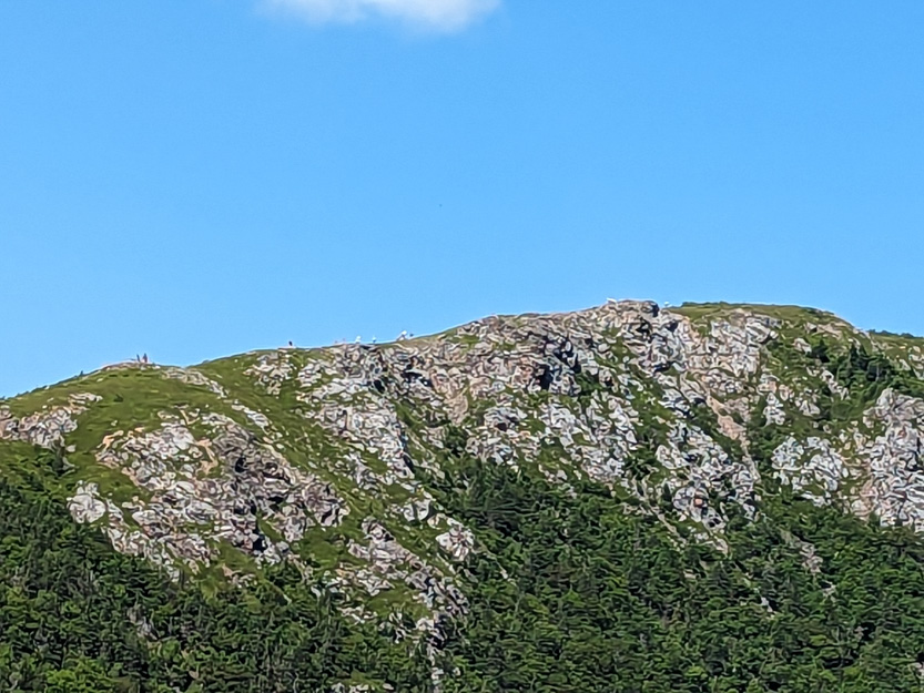
Then one more lookout on to the road along the shore back to Cheticamp.

And home for air conditioning, an ice cream and a nap, in that order.
The weather for tomorrow does not look very good.
The Skyine Trail lives up to it's name! Beautiful, stunning vistas! Love that park ranger trailer!!!!
ReplyDelete