I had read about this amazing trail that led to an open ridge with spectacular views of the coast. The problems were that it was a 45 minute drive, the last 5 km were on a very rutted and steep dirt road and that the trail itself was prone to be very wet and muddy.
I had read reviews on a website of many people that had turned back because their car couldn’t handle the road or because the trail was impassable due to water. And today was rather cloudy so I wasn’t sure about the views.
But off we went.

I suffered a bit from the “sunk-cost fallacy” today. It is “the phenomenon whereby a person is reluctant to abandon a strategy or course of action because they have invested heavily in it, even when it is clear that abandonment would be more beneficial.”. Today it didn’t turn out to be completely wrong, and I am glad we went, but it was always a thought in my mind.
As soon as we turned on to the dirt road I could see that the reviews were true. Right off the highway we had to climb a very steep hill with very deep ruts. I knew the CRV could handle it because it does have AWD and quite high clearance so on we went. We never did bottom out. Going up is no problem, it was the going down and having to ride the brakes that had me worried.

5 kms of creeping along, bouncing from rut to rut, made us wonder if it was worth it.
On the highway in we had noticed that the clouds were covering the hill tops around us. No problem since we thought that the hike was much like the other we had done, right down on the coast. Nope. The hike and ridge are 1000 feet up securely in the midst of the clouds, so no long views today. But again as we were already here, we continued on.
Up we go.

There was a viewpoint, partway up, down to the sunny coast.

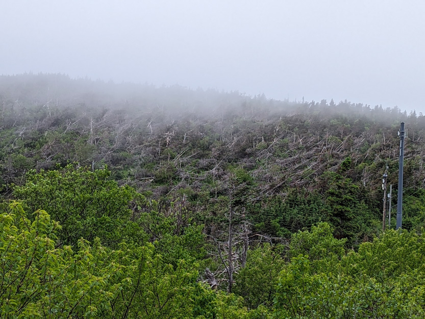
The results of Hurricane Fiona were in evidence everywhere up here. On one hillside we could see all the trees blown down, lying in the same direction.
The only marking of the trailhead, apart from the GPS telling us we were there, was a buoy hanging from a tree.

Someone else actually arrived just after us and came out behind us,

You must go through just over a kilometer of low trees before you break out onto the open ridge.

|

|
Even though it had rained yesterday, it wasn’t very hard so the trail itself was not muddy. The problem was that the trail is very narrow and all the trees and bushes we had to brush past soaked our pants and coats.


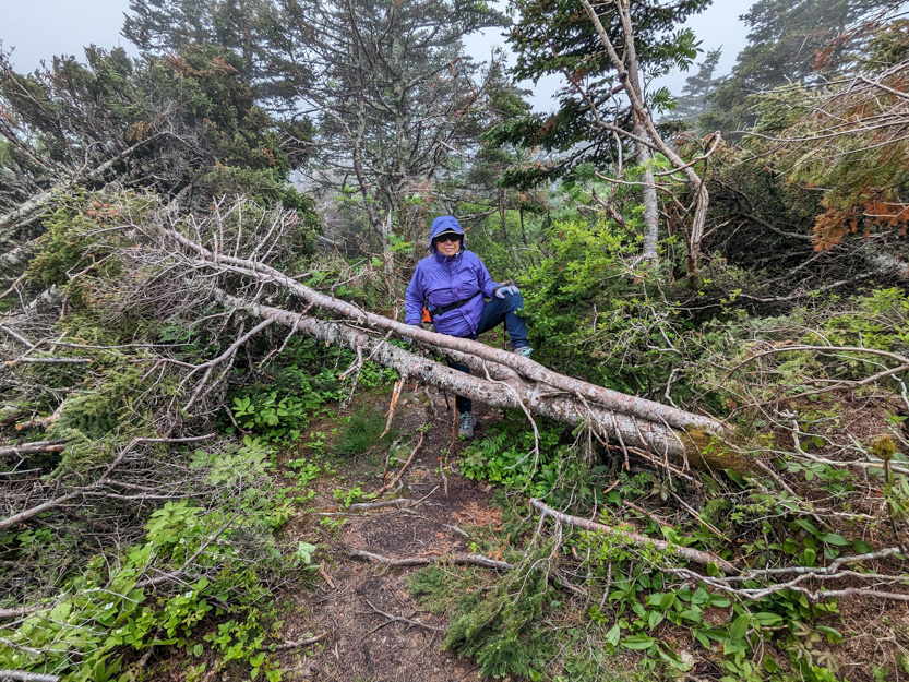
Someone has done a pretty good job of cutting down all the trees that the hurricane had knocked down but there were still some we had to climb over.


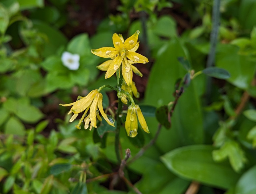
We always watch for flowers.
And then out to the open ridge. Definitely cloudy.
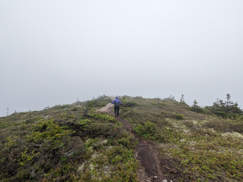
The first part was relatively wide and flat. Jennie stayed here. This is me looking back toward her and the forest part of the trail.

Then the ridge turned very inverted, V shape with only the thin trail along the top and 1000 feet down to the sea on one side and I guess about 500 feet down to the forest on the other side.
Of course I went on. I took a walkie talkie with me to reassure Jennie because very soon I was lost in the mist.
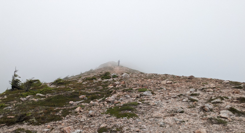
A photosphere from here.

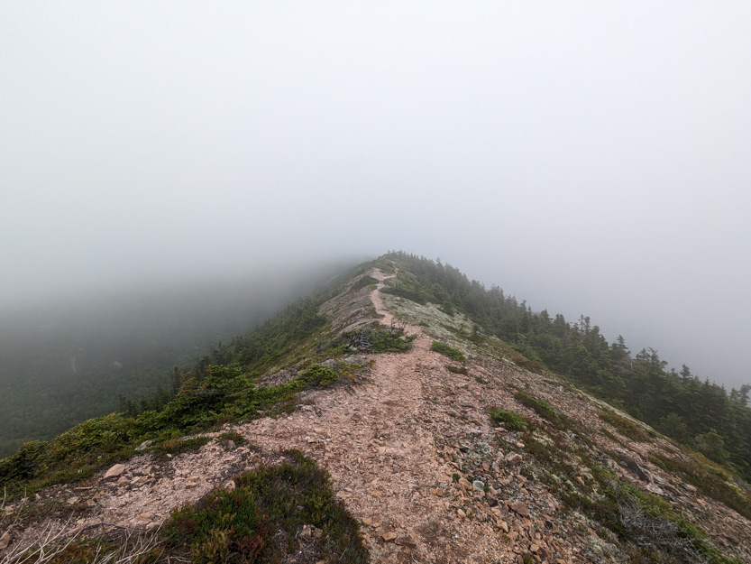
A photosphere.
On the drive in we had noticed that all the lobstermen seem to be out in their boats checking their traps. The mist seemed less on the ocean side so I could actually see some boats down there.


I found a geocache partway out.

The trail in from the road had been very flat. Walking out the ridge I didn’t realize that I was going quite steeply down hill until I actually seemed to be coming out of the clouds.
Later I look at the elevation profile and realized I had gone down about 150 vertical feet. The number on the profile is in meters.
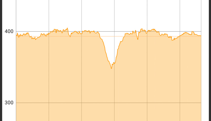
The trail got rougher and went back into some trees so I stopped after a while.
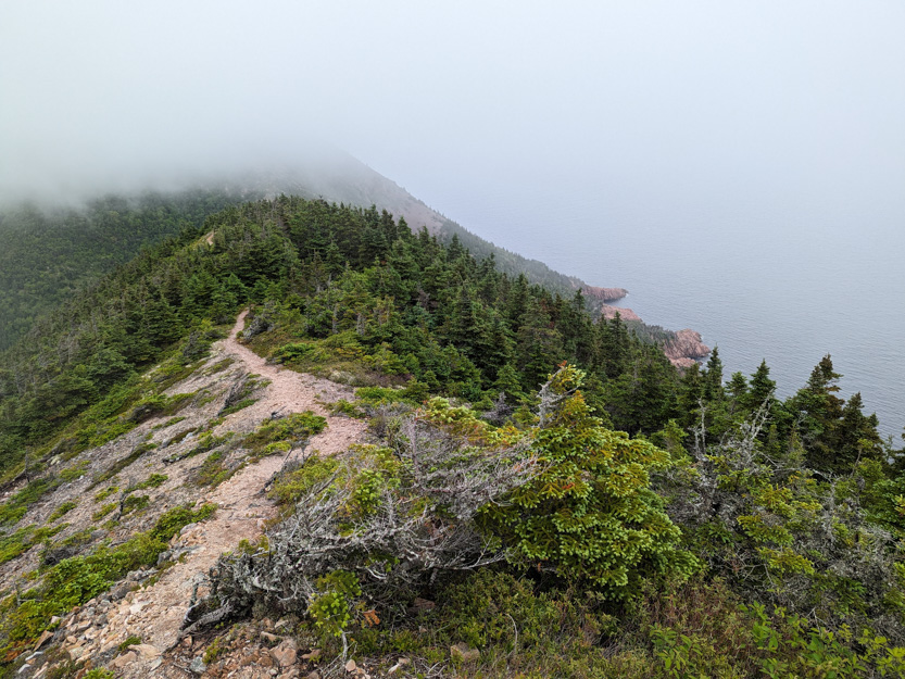
This is the view to the ocean side, from as far as I went You can see the cloud line on the hilltop.

Another lobster boat down there.
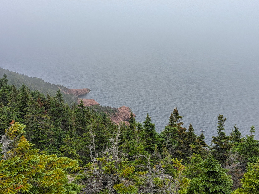
And the forest side.
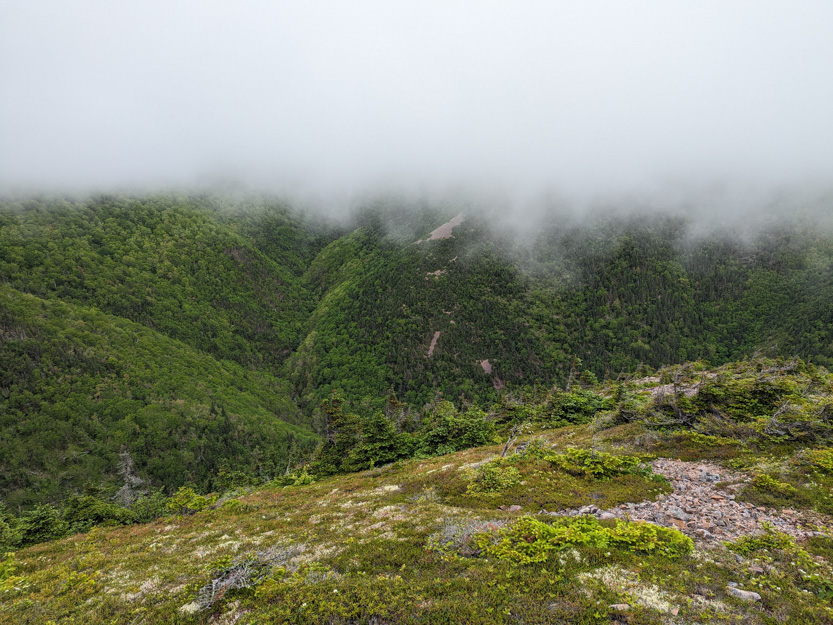
The photosphere.
Climbing back up I finally realized how far I had come down. At first I thought I only had to climb to the hill top I could see in the distance.


Nope, once at the hilltop, another one. I reported in on the walkie talkie every once in a while to let her know I hadn’t fallen off the edge.
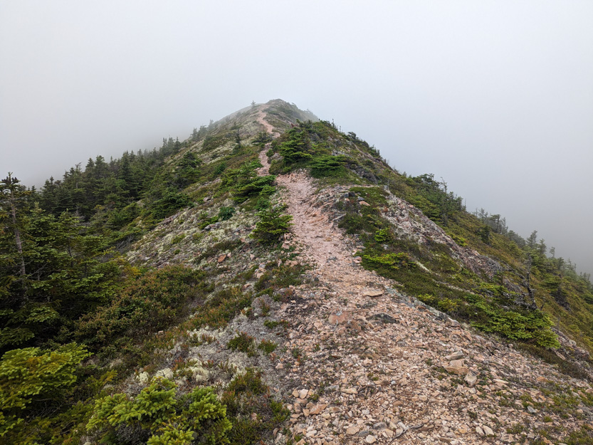
Then along through the mist back to Jennie.

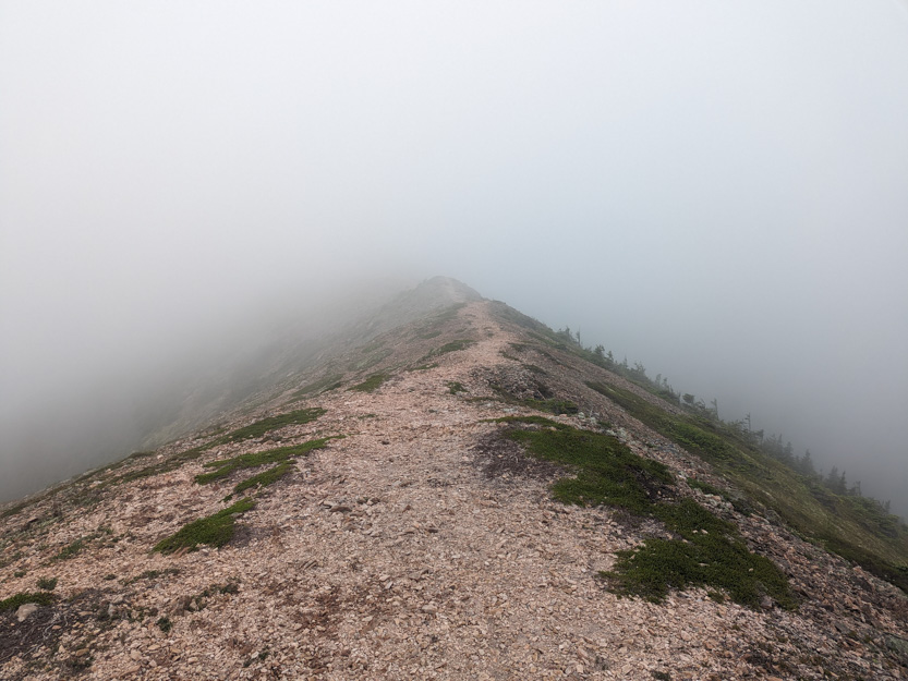

She had been exploring the plants and rocks.


We sat and had lunch.

before heading back into the forest and then the slow crawl down the dirt road to the highway. The CRV survived unscathed.

It’s too bad that it wasn’t sunny because I am sure that the views would have been stunning but it was still a pretty cool place and we made the best of what we had to work with.
The weather tomorrow looks lousy. We have done everything here on my “must do” list and we will probably take the day off.
The day after we drive to our next campground on the other side of the park near Cheticamp.
Your trusty CRV comes through with flying colours again!! You really captured the devastation by Hurricane Fiona! Bravo to those who have cleared away some of those fallen trees!
ReplyDelete