The Proctor Mountain Loop trail climbs partway up Proctor Mountain, just a short distance east of town. You first walk up an old road to the start of the loop, zigzag up to the ridge line and then walk higher along the ridge until you go down into the valley between the mountains to complete the loop. The trail is about 3 miles long and gains 1000 feet in elevation.
The Google Earth view.

We didn’t actually complete the loop. There were some nice long distance views on the first part of the loop so when we got to our lunch spot, almost at the top, we decided to retrace our steps rather than go down into the valley.
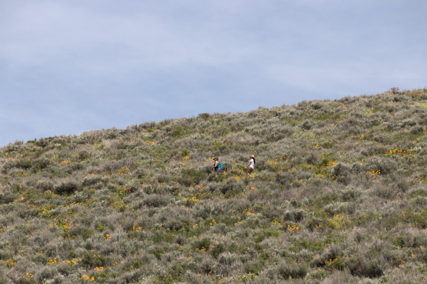
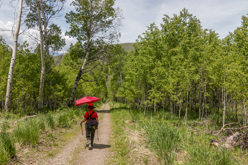
As with yesterday’s hike, we were on an open hillside covered in flowers, except this trail had a lot more climbing. It was also another very hot, cloudless day with no shade at all on the trail so the umbrella helped Jennie a lot.

A wider view.

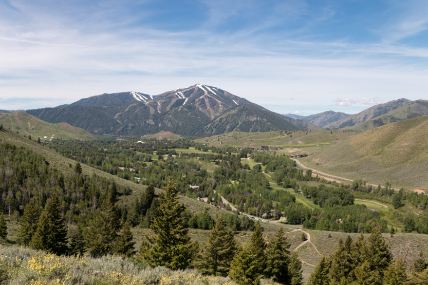
Looking back towards town we could see all the golf courses at the resort and the Bald Mountain Ski Area in the background. Ketchum is a the bottom of Bald Mountain.


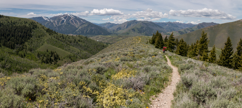
The trail rounds the end of the ridge to give us views of some mountains to the east.

Then up along the ridge through thick patches of flowers.


A photosphere.

Another photosphere.
A few spots were very fragrant. We think it was from this bush.

Getting higher.

Our lunch spot.

The top was only a little farther but we decided not to bother. The trail does not go to the very top of the mountain, in the background below, but just over that next rise it begins to head down to the valley.

After a nice break, it was time to start back down.


The trail was not very busy. I think we only saw about 20 other people and lots of dogs but you could hear voices from a long way off. We were always scanning around to try and see where they were coming from.


There were not a lot of trees on this mountain.

Almost down. You can see the old road on the valley floor at the bottom right, below.

And then back to the car.

I am not sure if the entire valley section of the trail was like this but I am glad we retraced our steps on the open part.
Even though it was still fairly early, the bright sunshine and the climbing did us in, so we just went home.
No comments:
Post a Comment