Today we did a rather long driving day to visit Bruneau Dunes State Park and Bruneau Canyon Overlook.
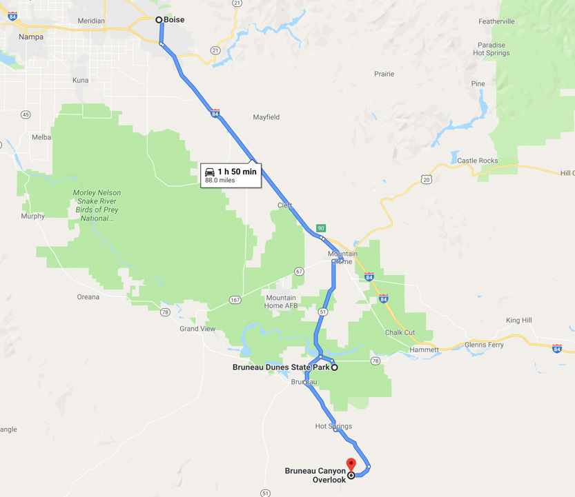
The state park has the largest free standing sand dune in North America at, they say, 470 feet tall. Using my GPS, when I climbed it, I got closer to 500 feet.
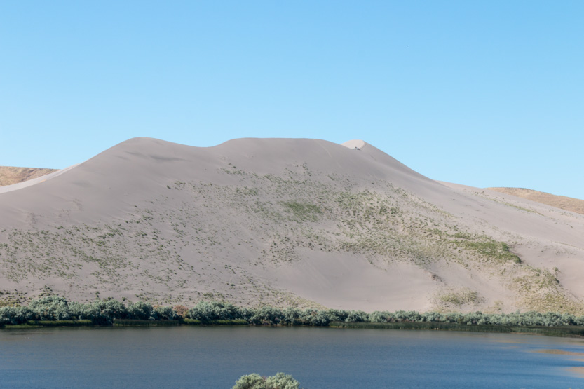
There is a smaller dune in front, near the road, where people like to sand board (snow boarding on a sand dune). Driving in we could see both dunes.

The arrow points to the high spot.
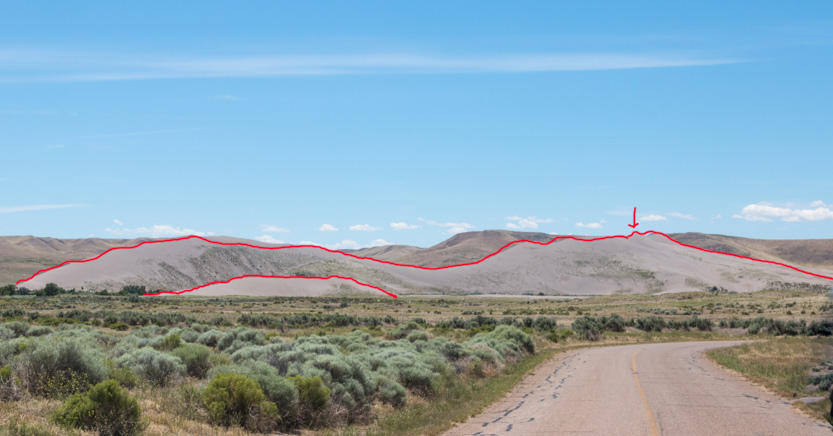
We started at the smaller one. This is the Google Earth view of the smaller one.

I’m guessing that it is somewhere around 100- 150 feet tall.
Here is the view with the large dune. The small one kind of disappears.

Up we go.


In the sand, even this is a tough climb.
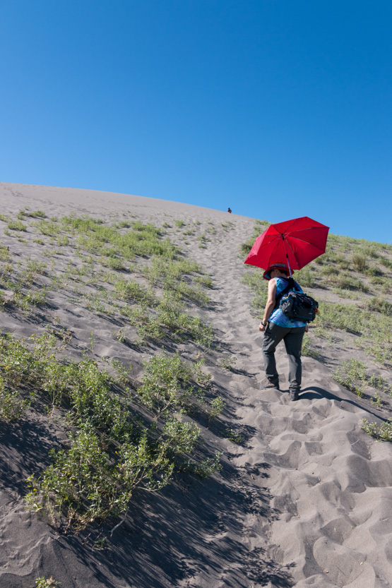
A bit of wind to keep us cool and mangle Jennie’s umbrella.

Time for a rest.
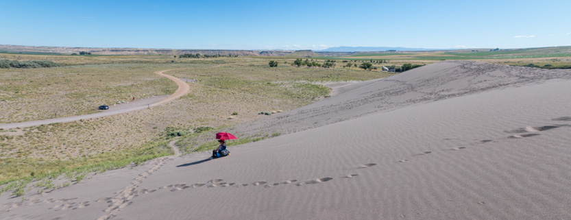
Made it.

The wide view.

A photosphere.
Looking over towards the larger dune.

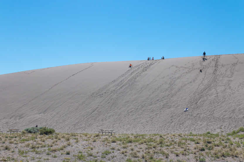
Some people had climbed it.
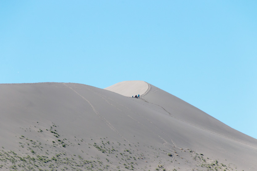
A sand boarder getting ready. You can bring your own or rent them from the visitor’s center.
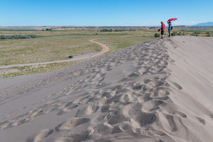
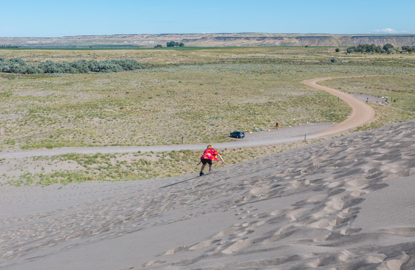
Everybody falls.

The safer way, on your bum.
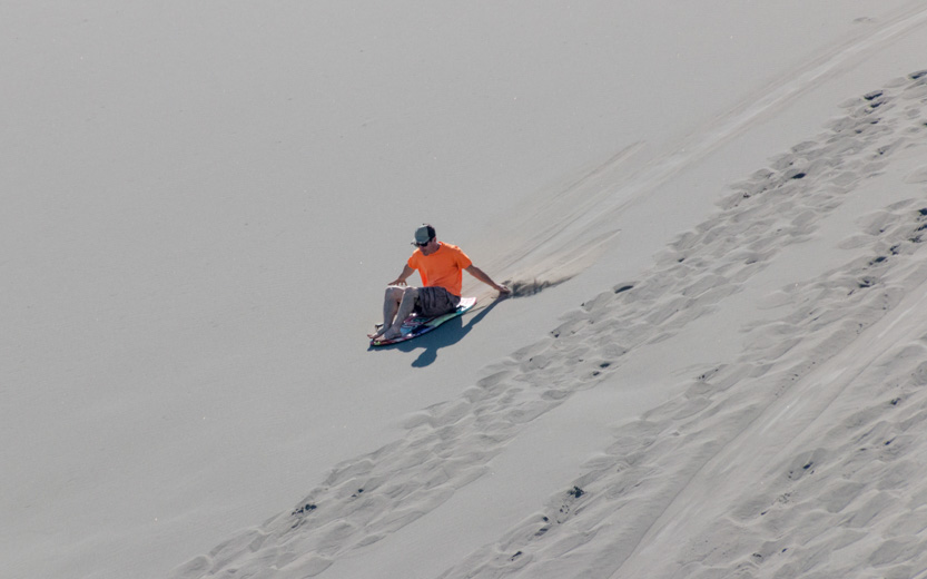
He still got pants and underwear full of sand though.

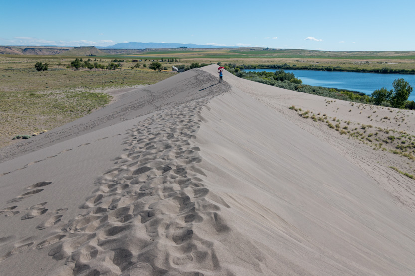
We decided to walk/slide down the far side of the dune to check of the small lake.
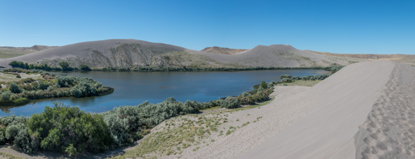

It was not that interesting so we had to climb back up. This side was much steeper.

Jennie made it part way up.
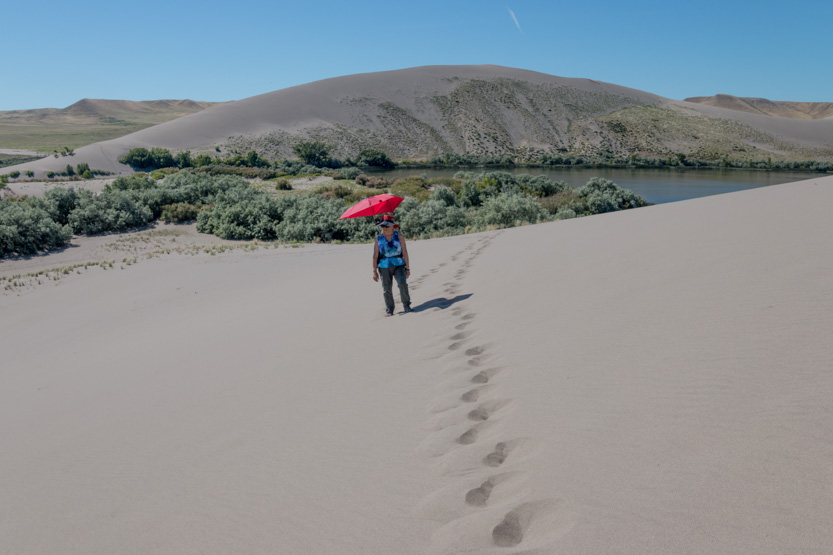
Before she decided to go around.

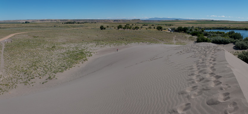
I slowly made it the top.

For another shoe filling walk down.

Me, being me, decided that I had to try and climb the large dune. Since sand and hot sun are not Jennie’s favourite things, she stayed and watched everyone on the small dune.
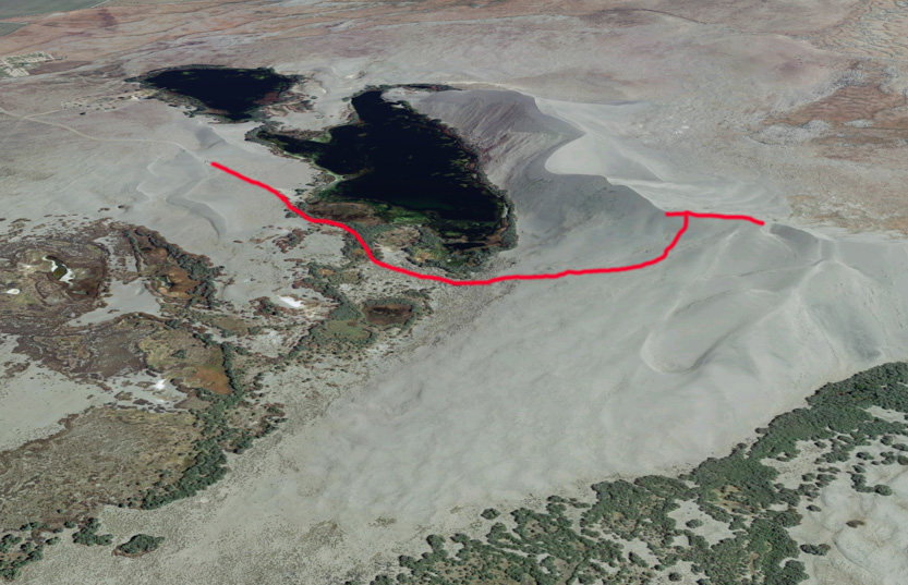
Here is my path on the Google Earth view.
Walking down the road towards the dune.
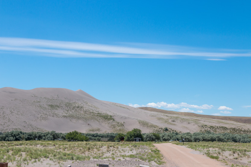
To reach the base I went through a nice cool tunnel of trees but there were a lot of mosquitoes here.

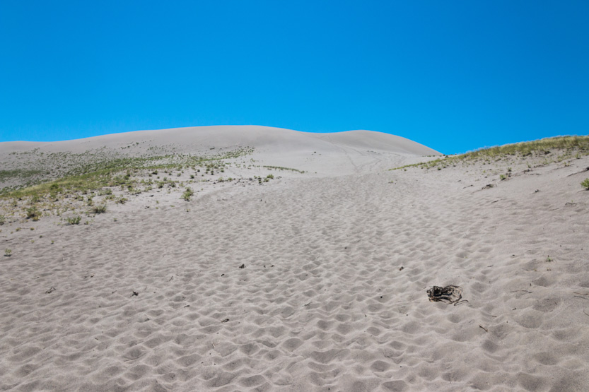
Looking up, with no size context, it didn’t look too bad but I knew better. 500 vertical feet is 50 building stories.
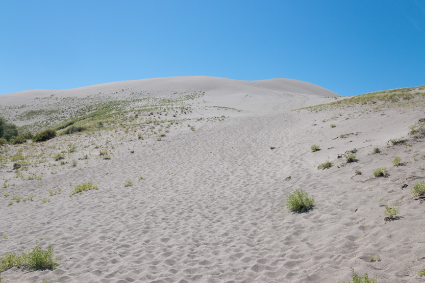
I think I had to stop and rest at least 10 times on the way up, drinking lots of water.
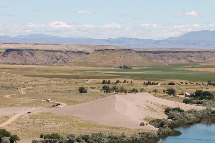
The little dune looks VERY little from up here.

This gives you an idea of the slope. It was steeper than this near the top.

I took a photosphere from part way because I wasn’t sure that I would make it all the way.
Made it to the top edge, but not the highest spot yet.
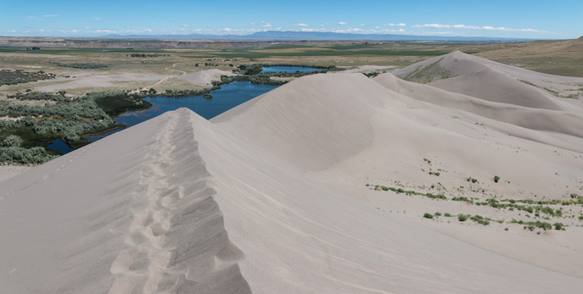
The photosphere.
Jennie tried to get some shots from the car. They came out a bit blurry but you get the idea.
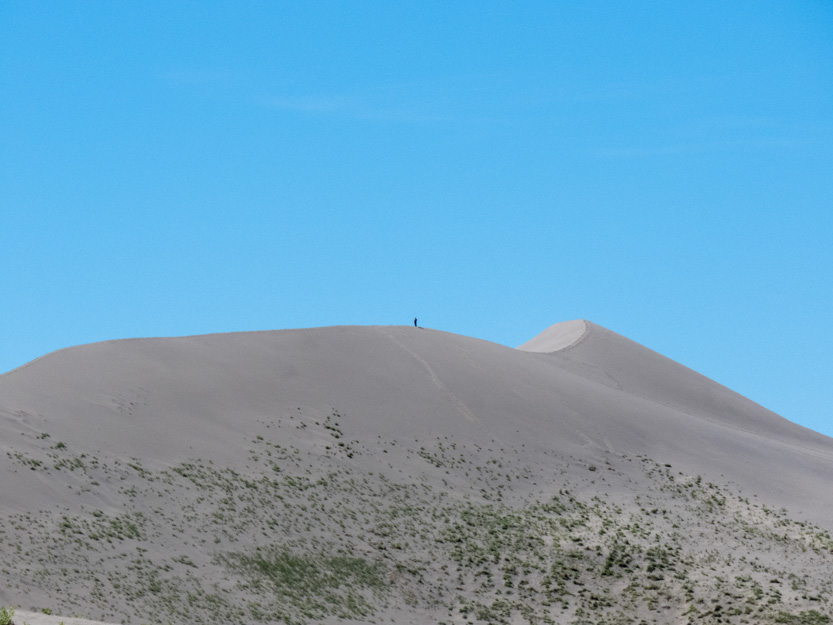
After a snack and a rest, I was fortified to make it to the top.
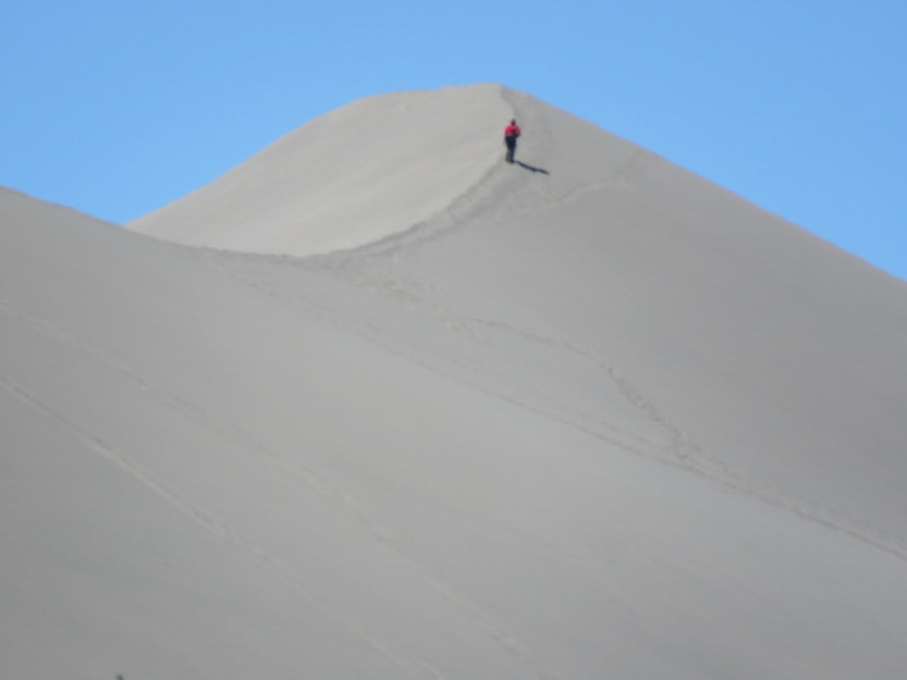
Following the ridge was not that hard or steep. Made it.

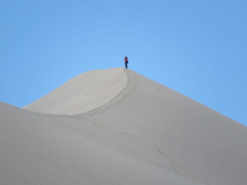
Undisturbed dune.

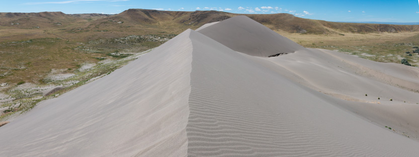
The photosphere.
Time to head back down.


It sure is a lot more fun, and faster, coming down.
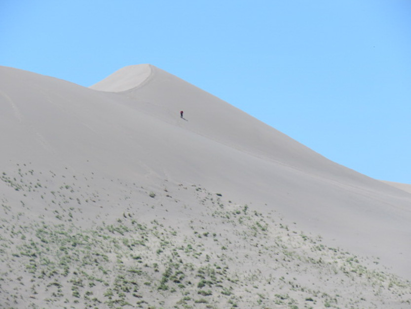
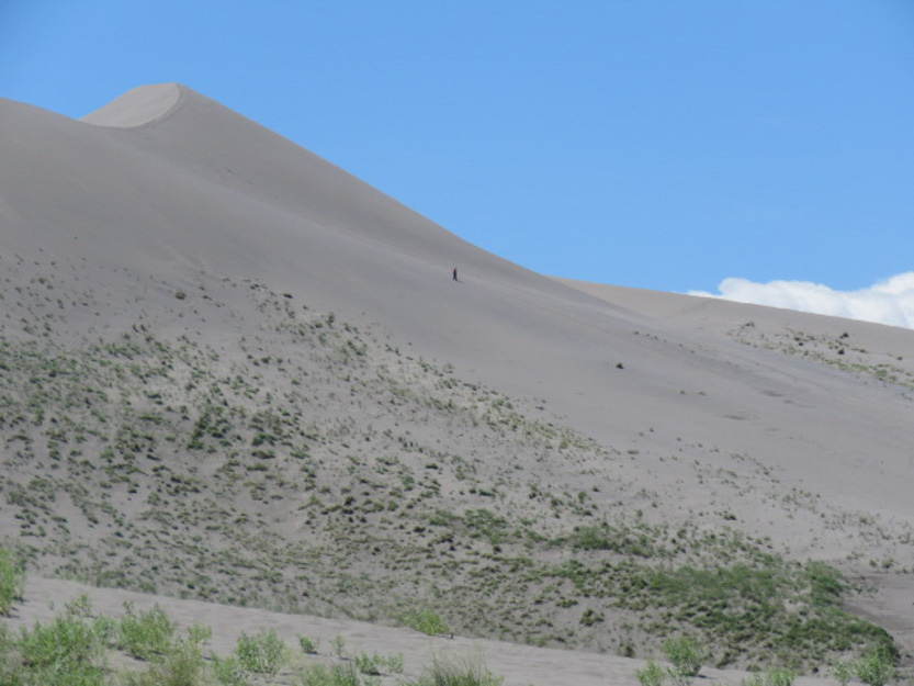
One last look up. Going up I zig zagged a bit. Going down was the straight path you can barley see higher up.
Jennie had had lunch while she waited so after I had mine we moved on.
Next up was the Bruneau River Canyon Overlook. It was another 30 minute farther south, literally in the middle of nowhere.

The last six miles are on fairly good dirt road.
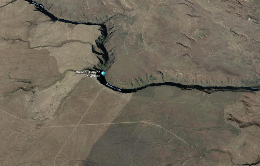
From the Google Earth view you can see that the overlook is at a bend in the river.
For being so remote it must get a fair number of people because it has a washroom, a paved wheelchair path down to the canyon rim and a very new fence along the rim. It is not even 100 yards to the lookout from the car.
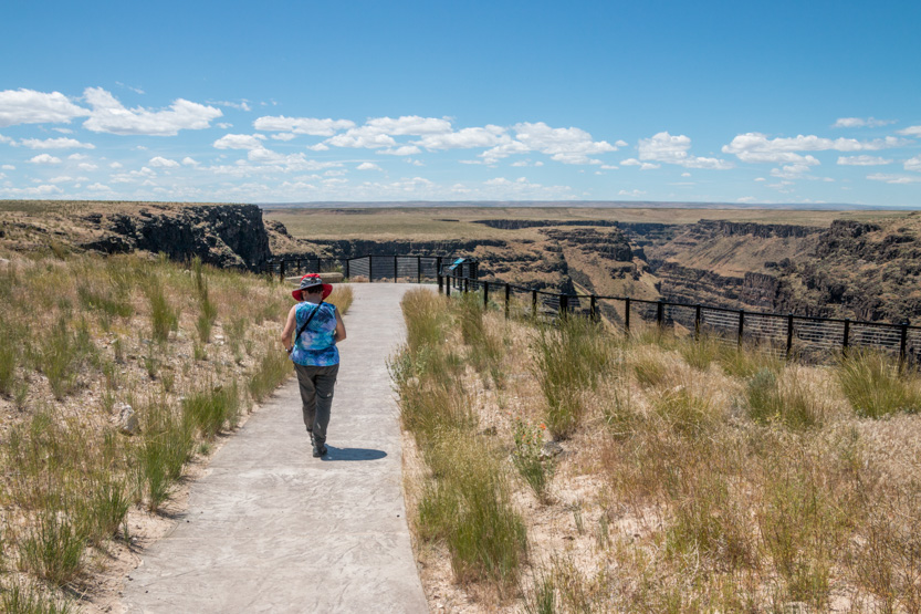
It is 800 feet down to the river and 1300 feet across to the other rim. The entire canyon is 60 miles long but this is the only place that you can “easily” see it.

A photosphere.
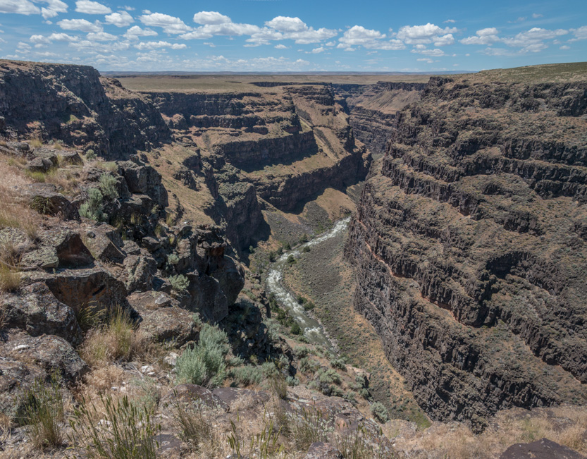
Walking along the fence.

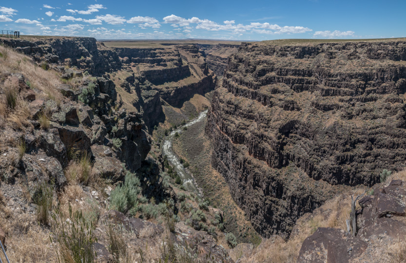
Looking around the bend.
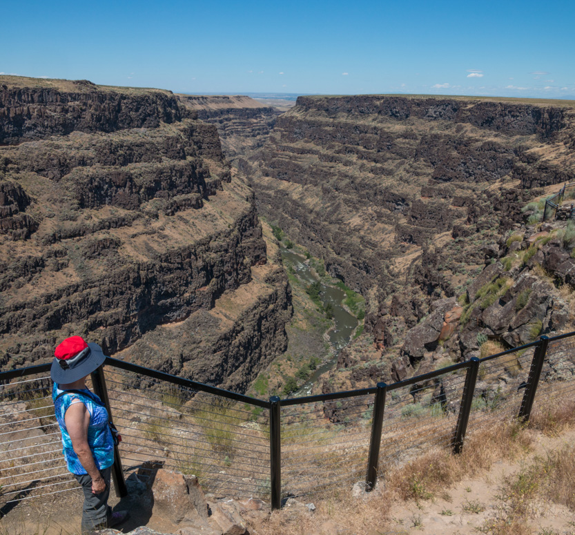

A photosphere.
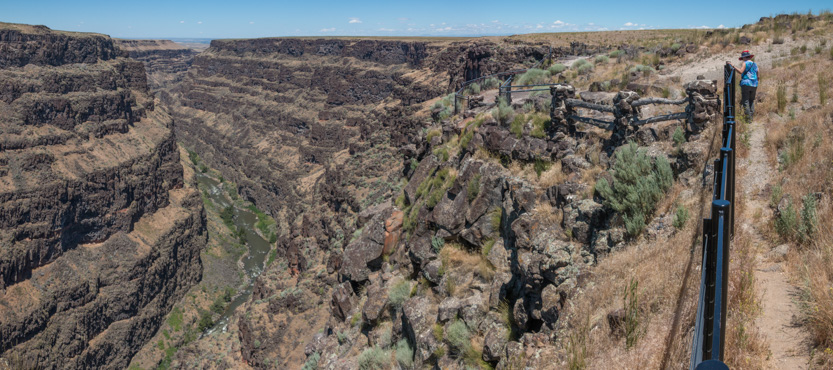
Back to the car.

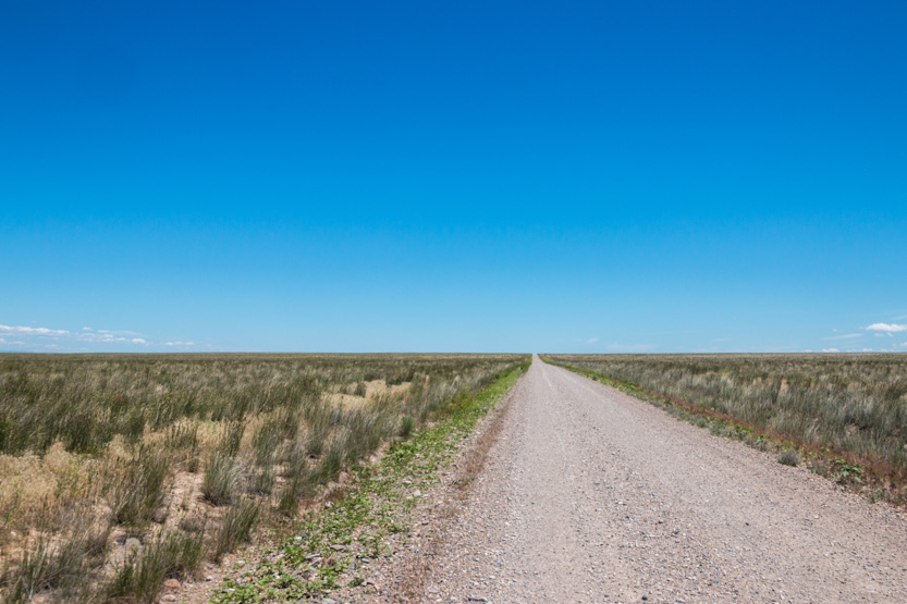
And then across a whole lot of nothing on the way home.
No comments:
Post a Comment