Today we did a very long looping drive to the town of Challis and back. The Custer Motorway is a dirt road used long in the past mainly by miners. The Salmon River Byway is a modern highway that follows the Salmon River valley.

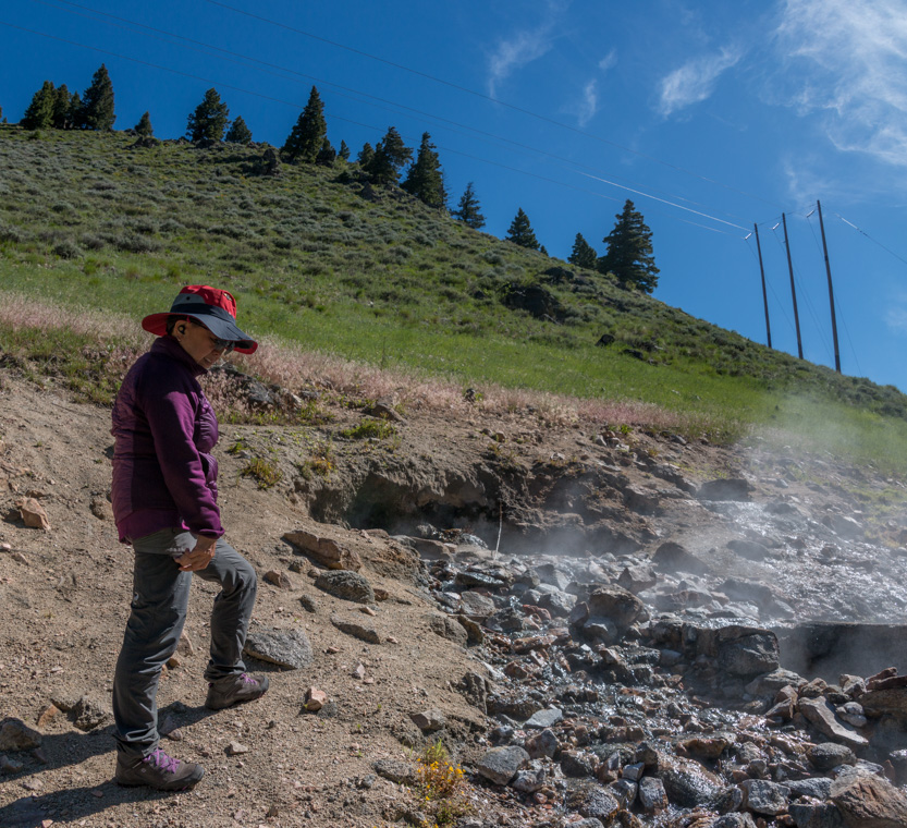
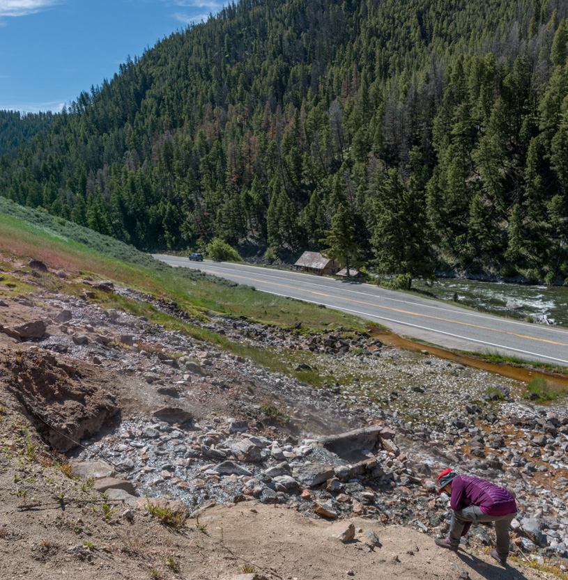
Our first stop was the roadside Sunbeam Hot Springs. They are not officially in use anymore. The hot water emerges from the side of the hill, falls down to pool beside the highway and then flows under the road, through a culvert, into the Salmon River.
I guess it was in use long ago because this stone building was called the Bath House. It seemed too small to be useful.

The water was a very pleasant temperature near where the waters mixed.

The water came out of several fissures on the hillside.
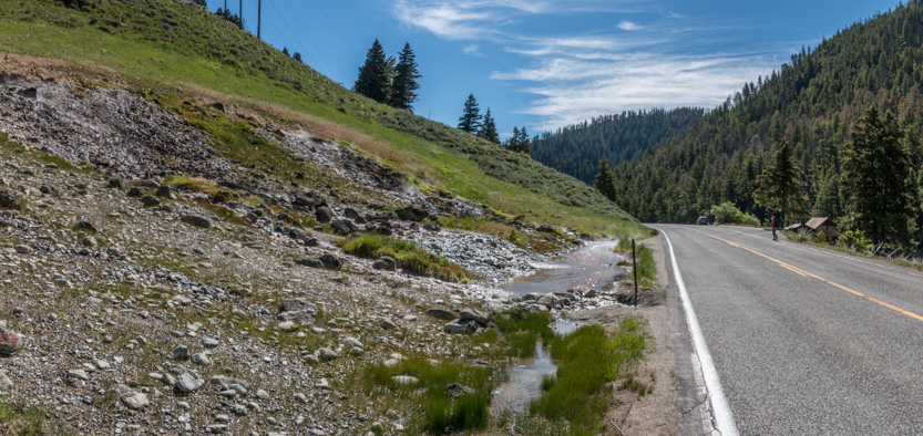
The pool was steaming and smelled of sulphur.
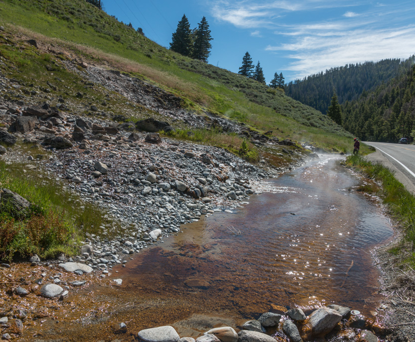
It is weird, in these pictures, how small the hot spring area seems and then you see the one with Jennie up near the top.
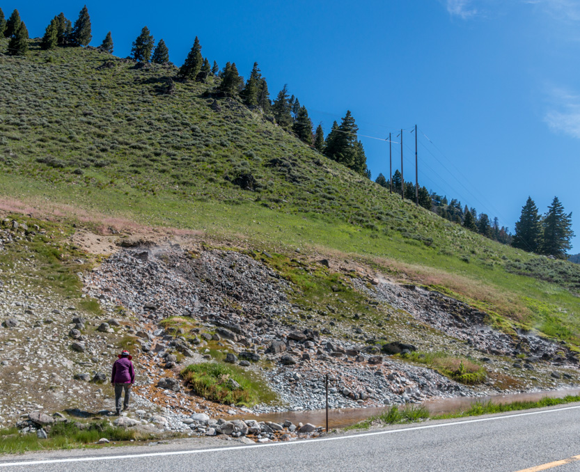

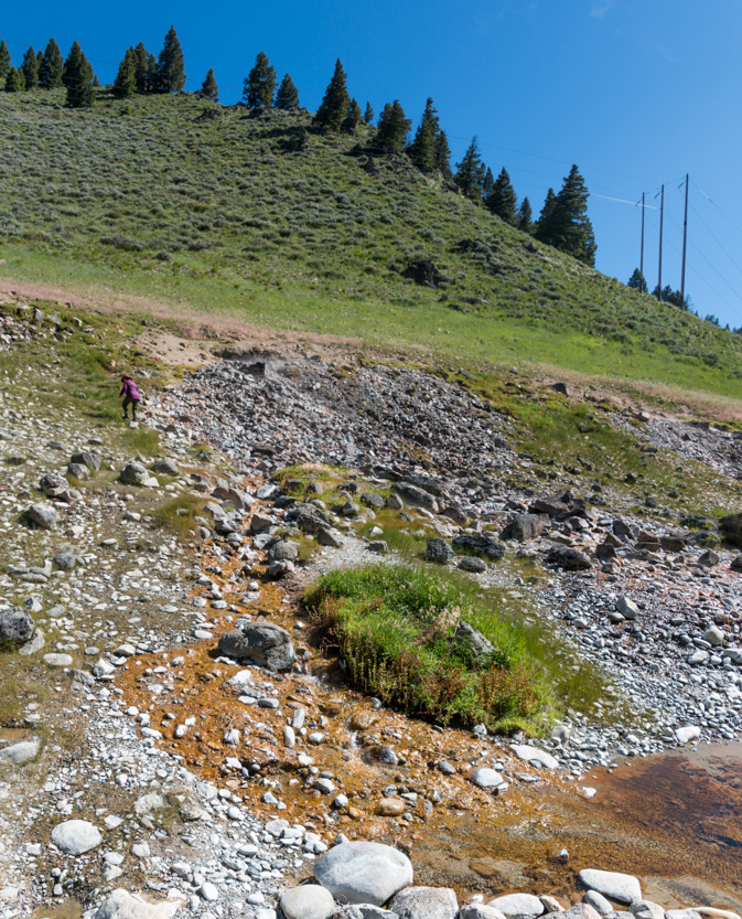
The water was really hot here.
A photosphere.
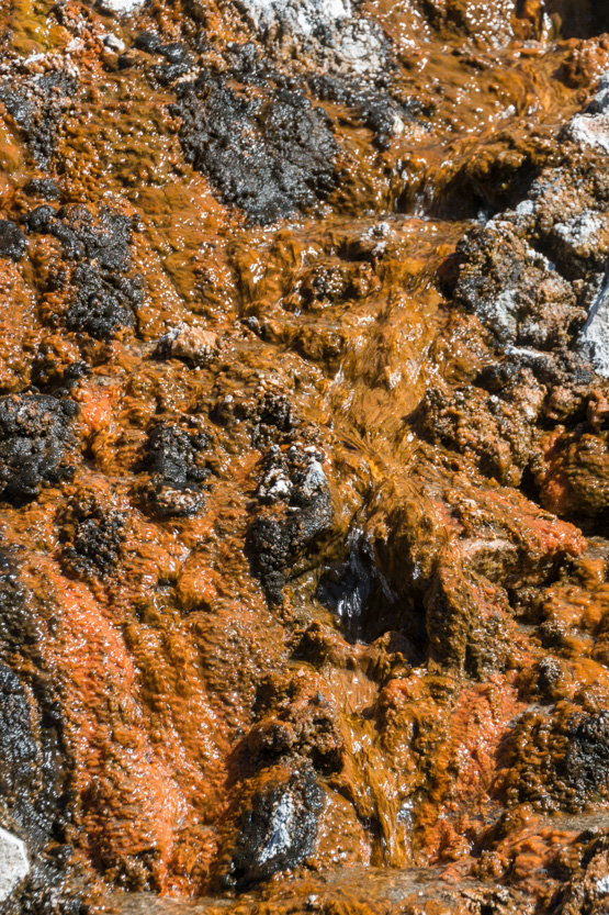
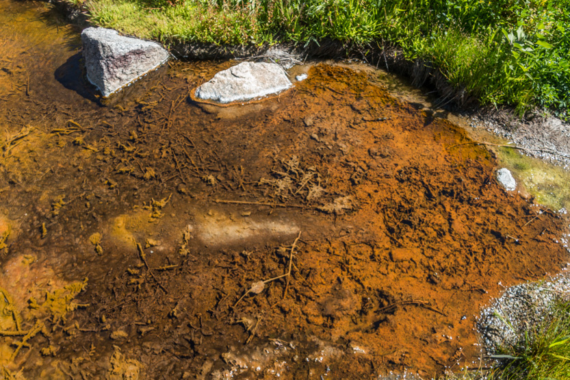
Lots of interesting colours to look at.

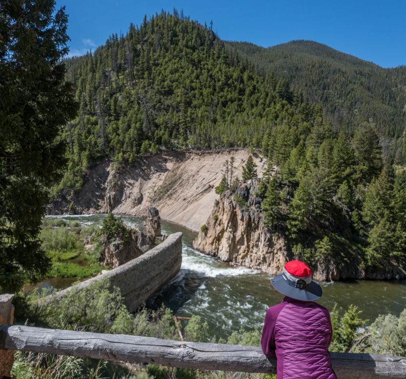
Next was a short stop at the remains of the Sunbeam Dam on the Salmon River. It used to have a small power station. It was partially demolished so that the salmon could migrate.


Turning on to the Custer Motorway, it follows the Yankee Fork of the Salmon River.
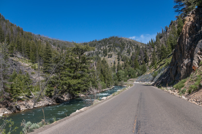
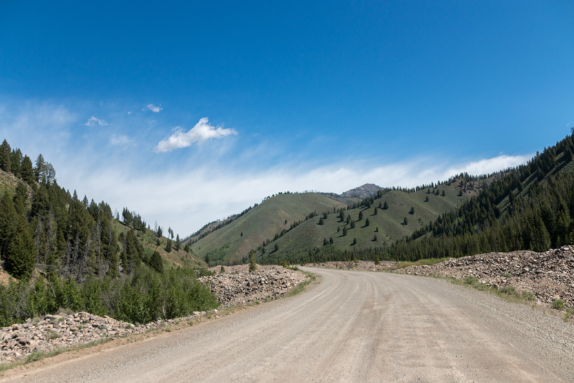
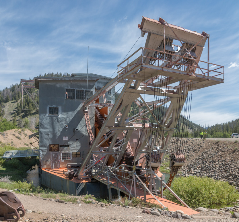
After about 3 paved miles we are on to dirt road, due to our next destination, the Yankee Fork Gold Dredge. During its life it moved 5 miles up the river virtually filling the valley floor with rubble.

We had toured a much bigger dredge near Dawson City in the Yukon but I like to look at big machinery so we did the tour.
It digs it’s own moving pond that it floats on. The front end swings back and forth eating up the ore, most of which is ejected out the back to fill in the pond and move it forward.
The business end.

In we go.
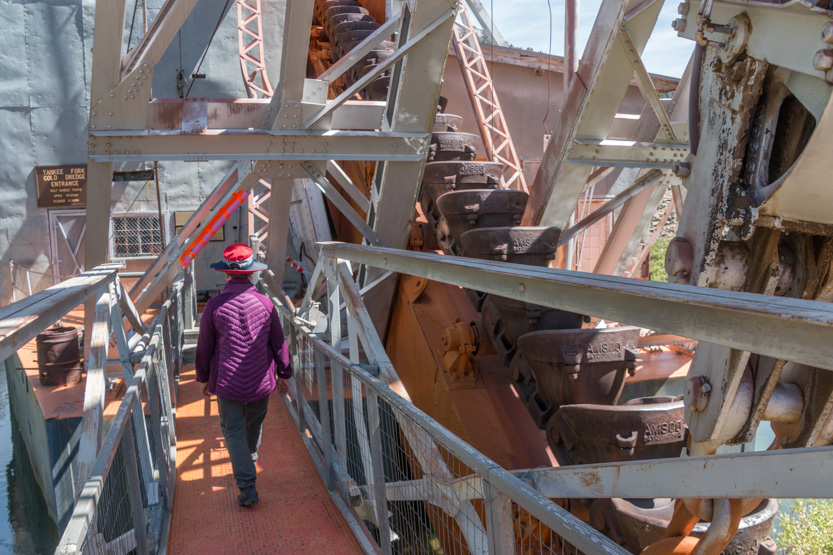
A photosphere.
You just follow a path and there are volunteers to answer any questions. I had wondered if they would bother opening because it is early in the season and the place is a bit remote but there were 5 other cars in the lot.
The winches.

Up 4 stories to the control room.

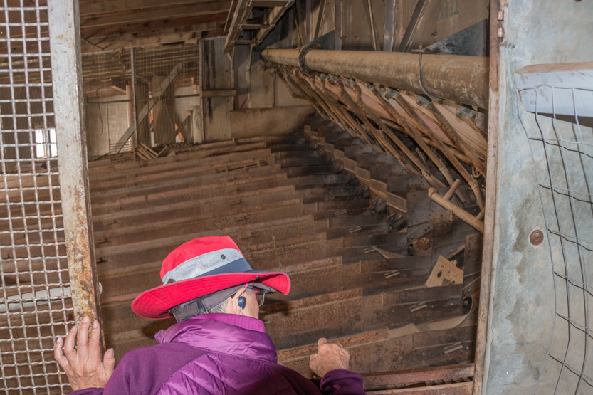
There was no much of interest there so we moved on to overlook the trommel, which spins and removes the larger stones.

Another photosphere.
Looking forward down the bucket line.
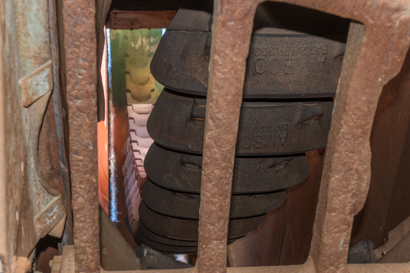
The gears that move the buckets.

Next were the sluices, where they added mercury (fun stuff) to get the gold to clump together. They claimed that everyone who worked on the dredge lived to a ripe old age.

One of the two diesel generators that powered everything.

Final photosphere at the dredge.
And then out through the gift shop, of course.

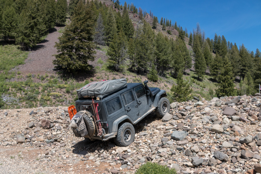
Out in the parking lot, someone was showing off. There was a huge perfectly level parking lot just behind him
Our next stop was the “ghost” town of Custer. It is the remains of an old mining town. Once again I was very surprised at how many people there were here.

Lots of old rusty stuff to examine.
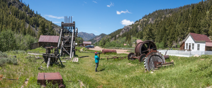

The mill here used to have 20 of these rock crushers. I could not imagine the racket.

There were info boards next to all the buildings that still were standing.

Even for some that were no longer there.

This kind of stuff is not really our cup of tea so we didn’t stay long.
I did a photosphere anyway.
Heading farther east, the road got narrower and a bit rougher.

We found a nice pullout by the river for lunch.

Another photosphere.
Actually we could have parked in the middle of the road anywhere and had lunch. For the 33 miles from Custer to Challis we only saw one other vehicle and they were stopped. It was a crew that seemed to be clearing downed trees from the road.
It was a good thing the crew was there because before we met them we came to a tree completely blocking the road. Thankfully it was small enough that we could move it to the side. I forgot to take a picture of it blocking the road but you can see where it was.

After we passed the crew we saw lots of evidence of other trees that had been moved. I am going to put a bow saw in the trunk from now on.
Even though we never did meet anybody else, I still had to keep vigilant because there were a lot of blind corners.

Through an old forest fire.

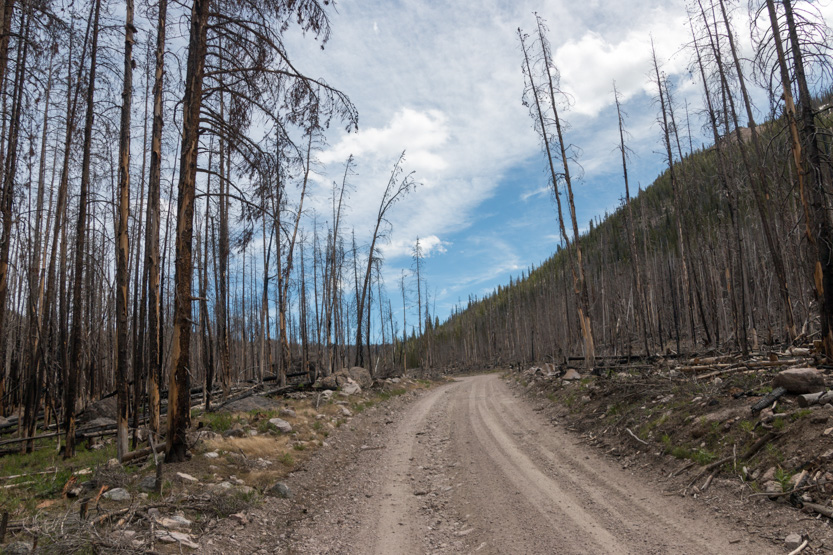
We eventually climbed to about 8800 feet in elevation before starting a steep descent.
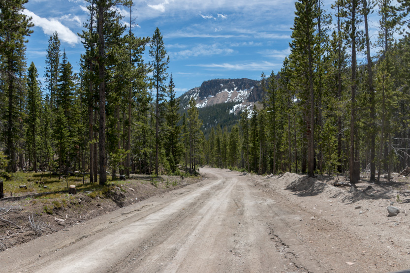
I guess they didn’t bother to clear out this monster blocking the road.

The valley opened up for a while.

Then back to a narrow, very tall canyon.

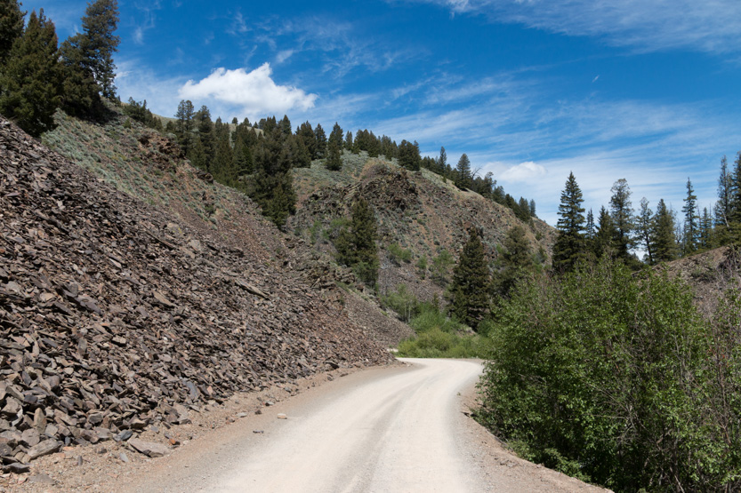
I think it was around here that I hit the only rock of the day. I was going really slow and it was just a tiny bit too tall. I stopped while it was still under us and tossed it aside. Other than that, the road was really smooth but it was narrow and we were constantly looking around so I never went much more than 20 mph.
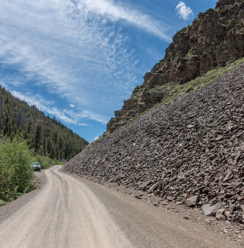
The final photosphere.
Starting to open up again.

Then it really opened up.
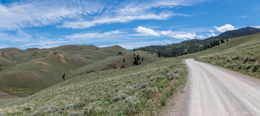
Looking back the way we had come up a hill.
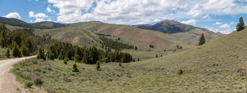
When we came over this rise I was worried that we had to go up that rough road on the hill ahead, but no.

Down we go.
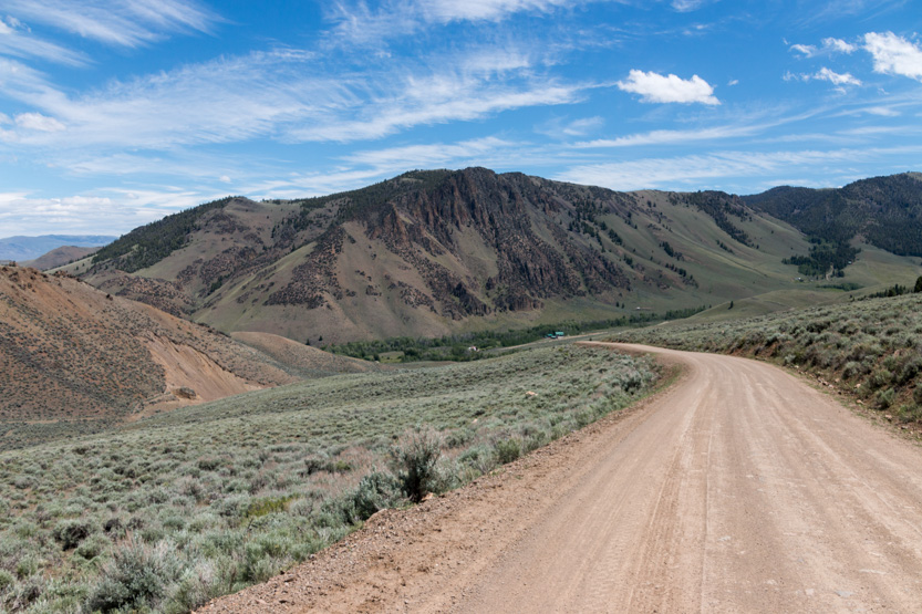
As we got close to Challis, it was into red rock country.

A sign of civilization?

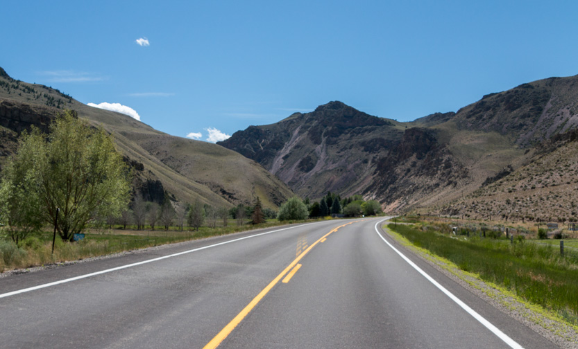
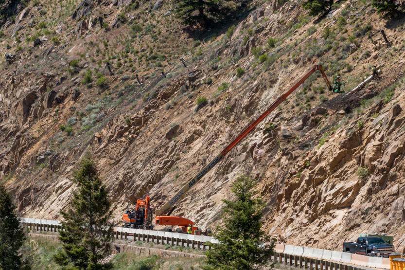
The drive back along the Salmon River Scenic Byway (Hwy 75) was very beautiful and I wish I had taken more pictures. By now we were a bit on information overload and it is also much easier to stop and take a shot going 20 mph on a dirt road with no one around than on a highway doing 65 mph. This is all I got.

We got stopped a short time at a section where they were putting up netting.

I really enjoyed the trip on the Motorway and thought it was quite beautiful but it was very long. Once again we were rather beat when we got home.
No comments:
Post a Comment