Today we did a LONG drive through the high desert of southwestern Idaho.
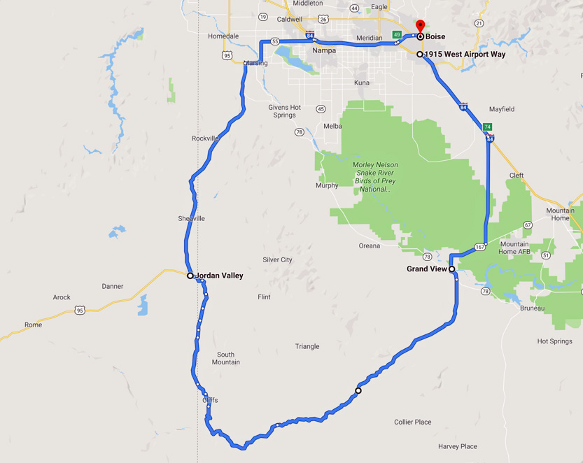
The Oywhee Uplands Backcountry Byway is the section of the loop from Grand View to Jordan Valley. It is 103 miles long and about 80 of those miles are dirt road. The road was in good shape with only some washboard sections but no potholes. Any car could do it. The total loop is 240 miles and not including the stops it took us 5 1/2 hours.
The BLM have a guidebook that describes the stops along the way.
Heading across the Snake River Basin to get to the start at Grand View.

About 9 miles from the start of the byway was our one major stop of the day.
The Oolite Trail is a 1 mile trail out to a ridge with some interesting rock formations. From the info board at the trailhead, the stone in the area is called Shoofly Oolite. Oolite (also called egg stone) is sedimentary rock composed of tiny ooids, which form when calcium carbonate precipitates in concentric layers around individual grains of sand.
After reading the info boards we headed across to the ridge through the sage brush.


Some colourful mountains off to the west.

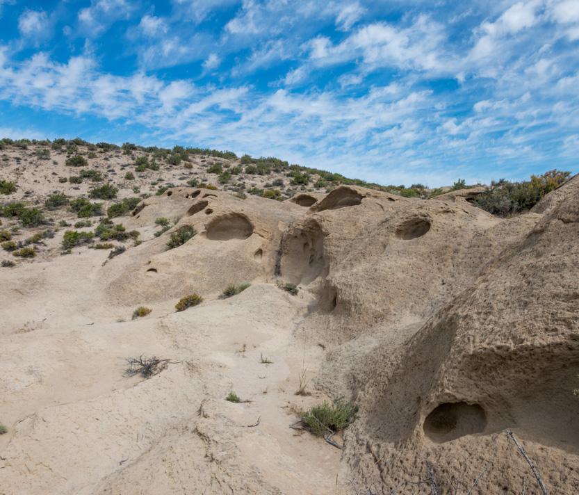
As we got closer we could see some of the strange shapes carved out of the limestone.

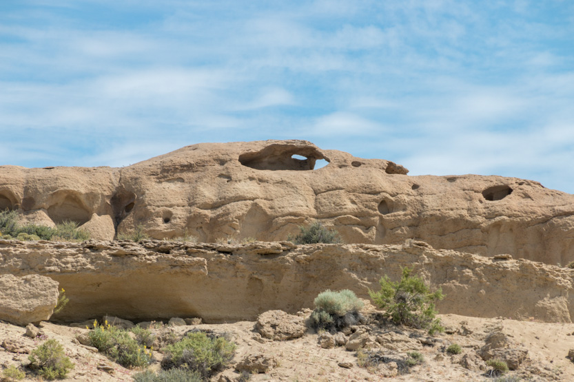
A photosphere.
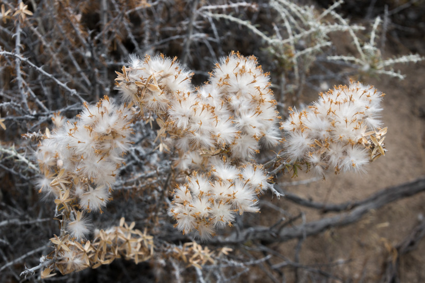
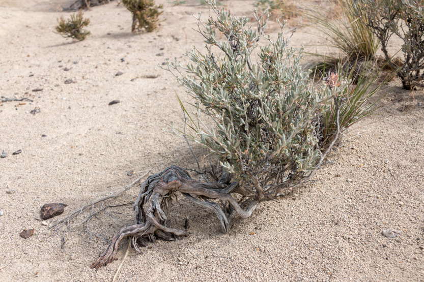
Some plants we saw along the way.

Even some wild life.

It was a short steep climb to the top of the ridge. Jennie scared a snake on the way up, but thankfully she did not see it.


The photosphere.
All the stone and sand is made up of these tiny balls. Where is has solidified into the rock formations it is quite hard.
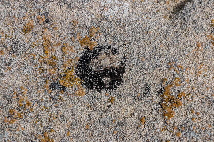

We saw faces everywhere.


Clinging to life.


We saw another outcrop farther west along the ridge so we headed over.

The open area was covered in little pink flowers.


The photosphere.


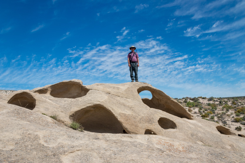
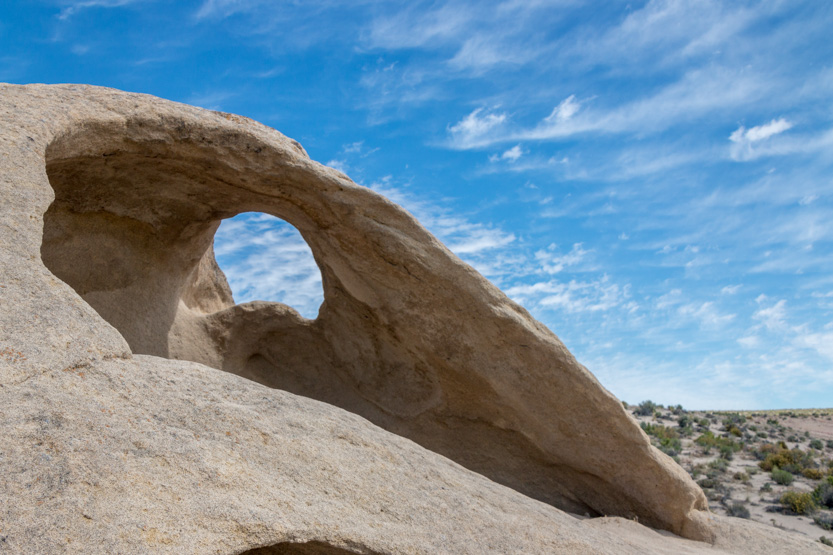
More wild shapes.

The photosphere.

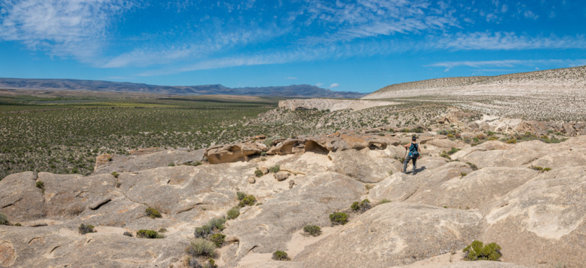
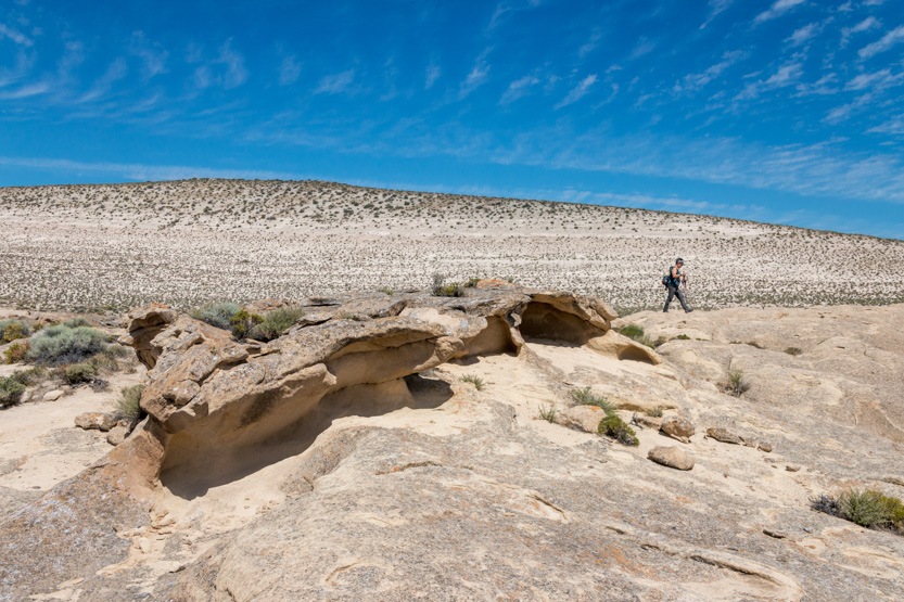


The photosphere.

In the picture below, you can just see Jennie’s head poking out to the right.

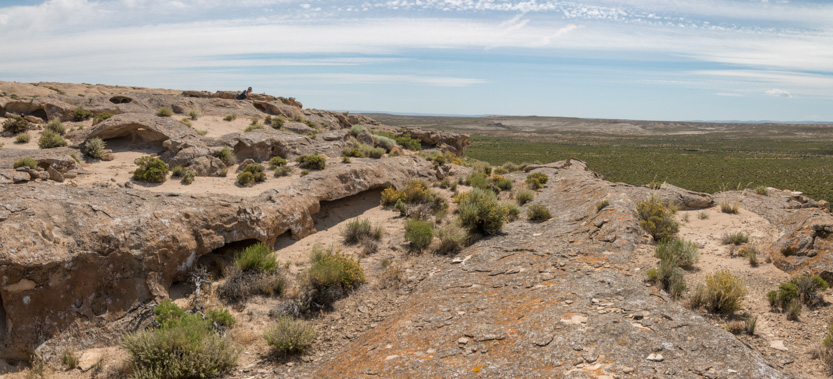
The photosphere.
Eventually we headed down to work our way back to the car.


Once back down, we couldn’t see the road or car until we were almost on top of it. Thankfully there are trail markers to follow.
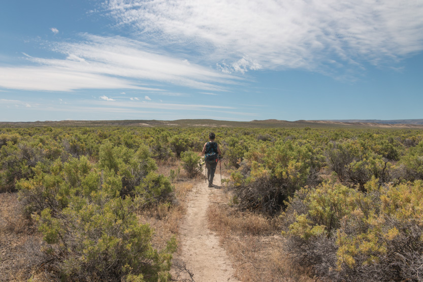
Moving on towards the uplands.

A little while later I started thinking that the road was littered with small black rocks.

But then they started moving. They are about an inch and a half long. Are the just big grasshoppers or locusts?
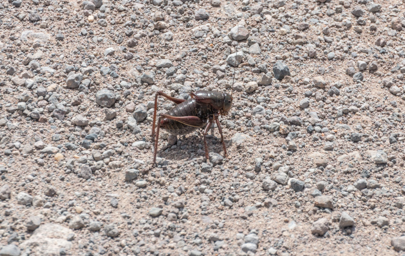
We went for many miles with them covering the road and then it just stopped. Unfortunately they were still there when we got to the picnic area where we had planned to have lunch. We did not stop.
This is open range country so we had to be on the lookout for cattle on or near the road. You never know what they are going to do.
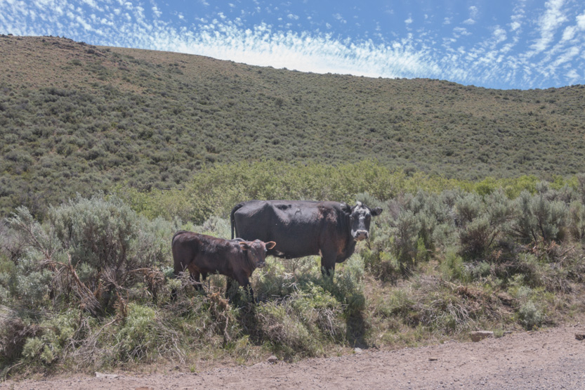
I have no idea how many of these cattle guards we crossed.

We found a side road that climbed up for a view and parked for lunch.

A photosphere.
The rest of the trip may not be very interesting to anyone else as it is just our cross country views. Nice but nothing amazing.
We made lots of short stops for pictures.

A photosphere.
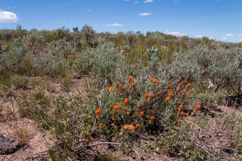
80 miles is a long way on a dirt road.

We scared one of these guys standing on the road and they all took off a high speed.
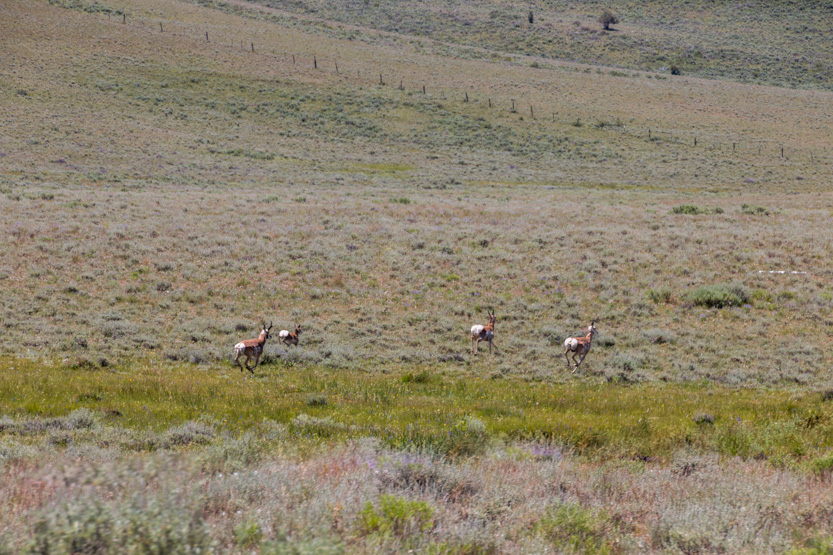


We dropped down into the North Fork Owyhee River Canyon.
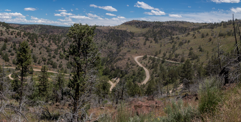

All day we had only seen one car coming towards us. We caught up to a two pickups trucks travelling together, one towing an ATV and one a RV trailer. Thankfully they let us go by as the road was very dusty.
At the bottom of the canyon there is a campground with a toilet. We made a quick pitstop, made a bit quicker as we saw the trucks coming down the switchbacks. We didn’t want to get behind them again.

I did have time for a photosphere.
Looking along the canyon as we climbed back out.
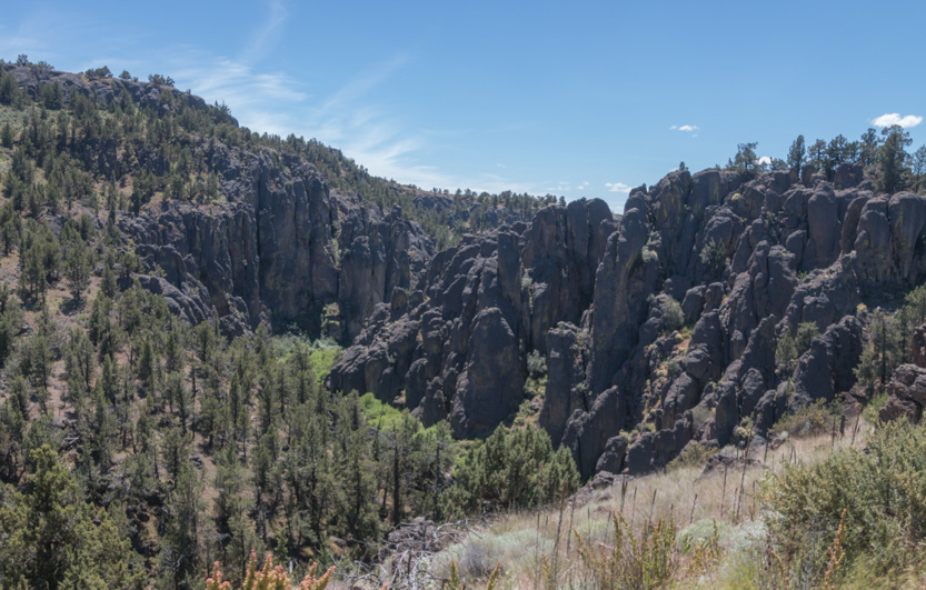
Then back to wide open country as we dipped into Oregon.

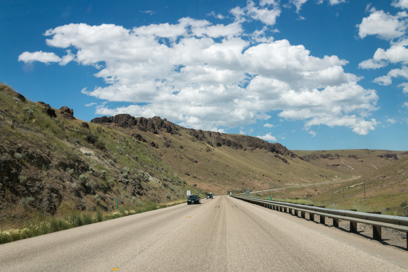
And finally back to smooth new pavement heading north from Jordan Valley.

There is one long side trip that I would have liked to take, to the deep and scenic canyon where the three forks of the Owhyee river meet. It would have added at least an hour to the trip and since we have seen many canyons, we skipped it.
The Oolite trail made it a great day. Without that I am not sure that it would have been worth the long drive.
No comments:
Post a Comment