Today we drove 27 miles into the mountains north of the city. We also climbed 4000 feet in elevation to 6700 feet at the trailhead. It was going to be around 28C in the city but it was around 15C up there. Great for hiking.
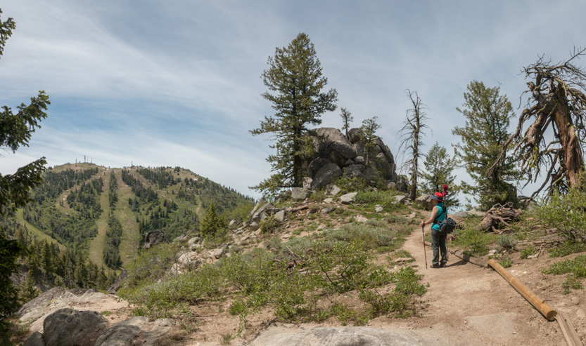
The Mores Mountain trail, being up so high, is a great one for long distance views. The weather was a bit hazy but we could see a long way, although it doesn’t show up as well in the pictures.
This will be one of our top hikes this summer.

Once you leave the city and the climbing begins, there is not a lot of (almost no!) straight road.

This section is about 20 miles long. Thankfully, the popular Bogus Basin Ski Resort is 16 miles up the road, so up to there, the road is very smooth pavement. It was only the last 4-5 miles that was a dirt road. It was a bit rough with a few rutted spots but if you were careful any car could do it.
The trail itself is not that long, at only about 2 miles or just over 3 km, but it packs a lot of scenery into that short distance.

We did the loop clockwise. You climb almost 500 feet in elevation to near the peak of Mores Mountain, at the top of the loop. Then it is all downhill on the north side of the loop. We stopped so often to look at the views that the climb seemed pretty easy.
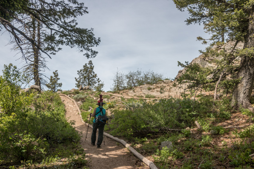
The start of the trail was in the trees but soon popped out to the edge of the mountain.

The back side of the ski area was the next mountain over.

The photospheres still do it best in the all around views.
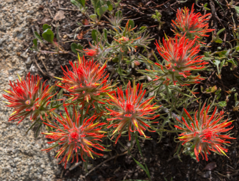
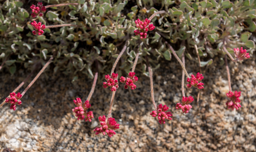
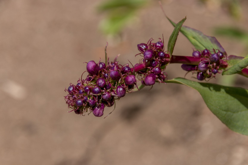
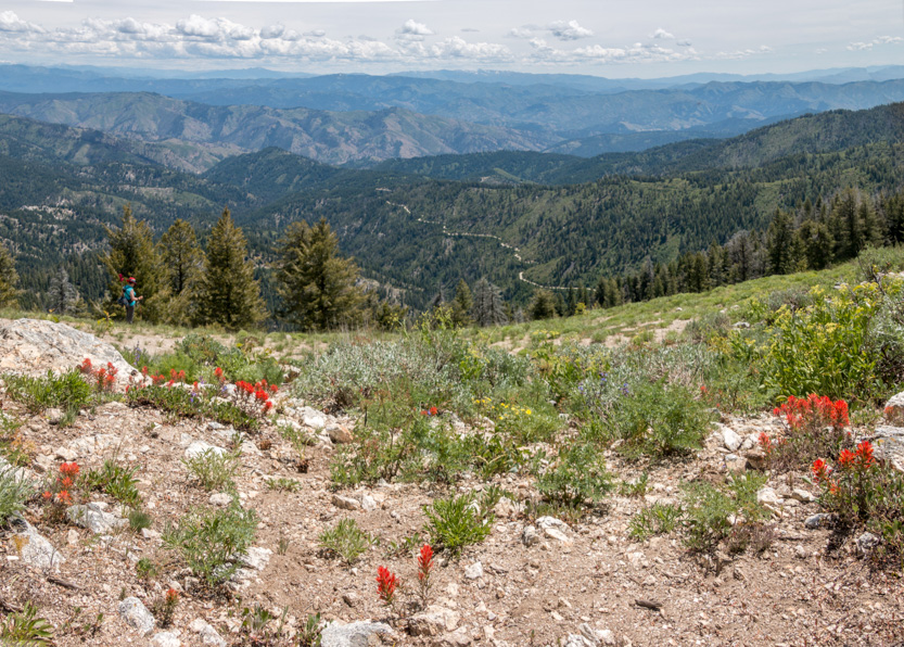
The wildflowers were really putting on a good show.

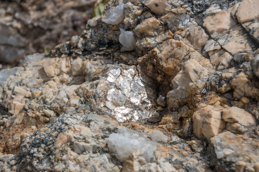
And lots of sparkly rocks for Jennie to check out.
The trail would dip back into the forest before quickly turning back to the edge.

The tree looks like a LOTR Ent about to attack Jennie.

I climbed up on the rock for a look.

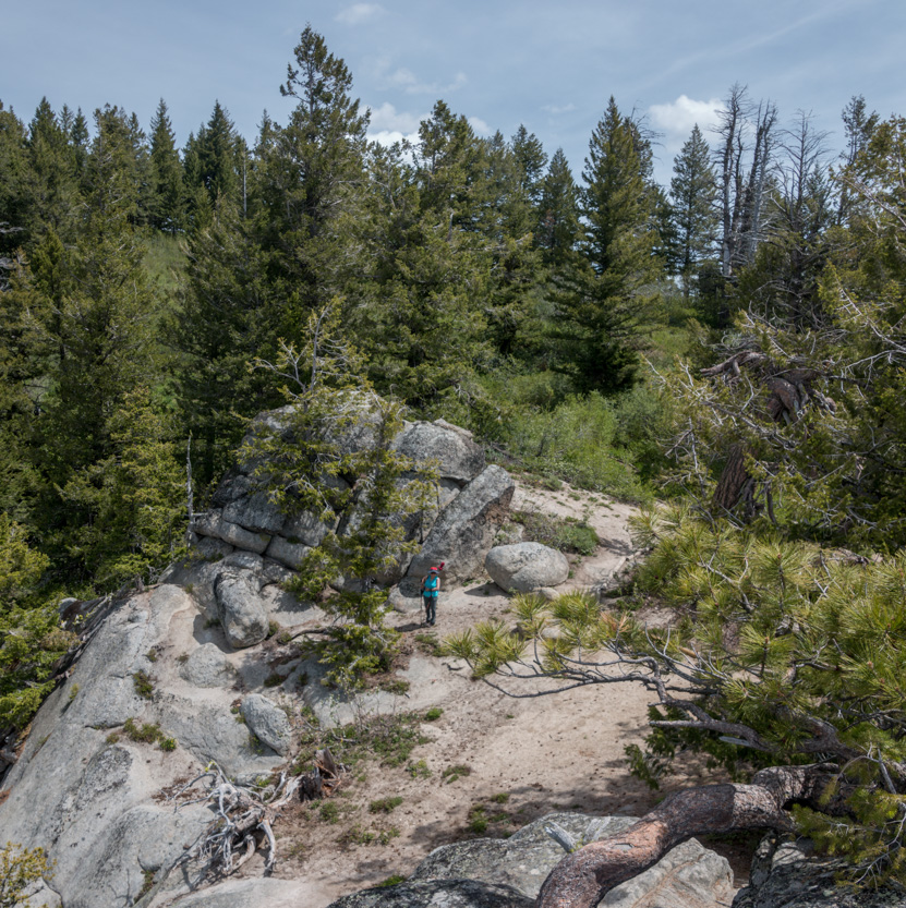
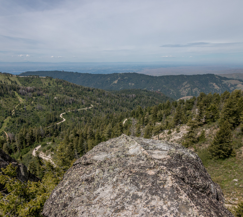
The very carefully done photosphere. It was a narrow rock.
Another side of the scary tree.
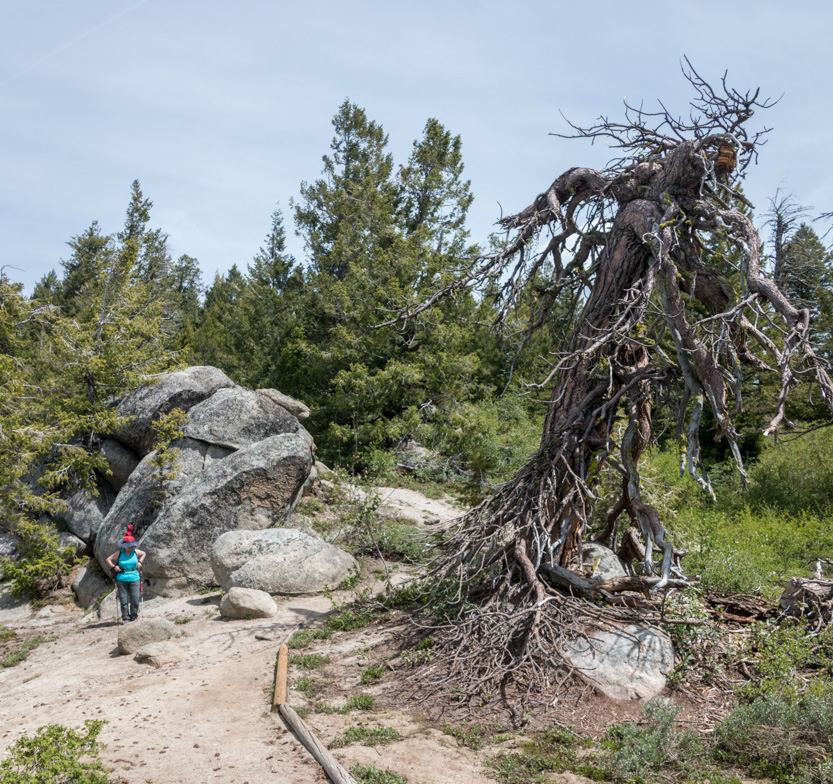
Up we go.
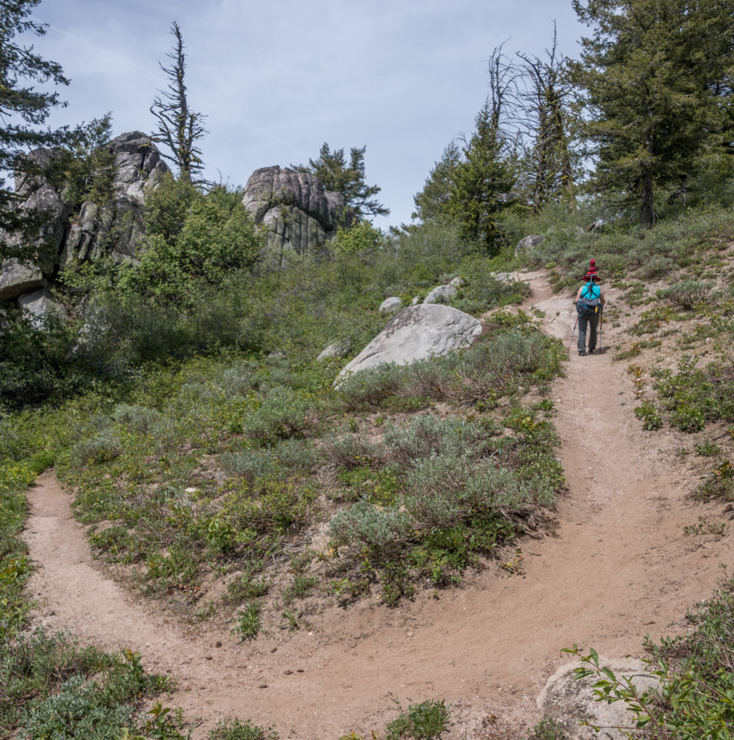
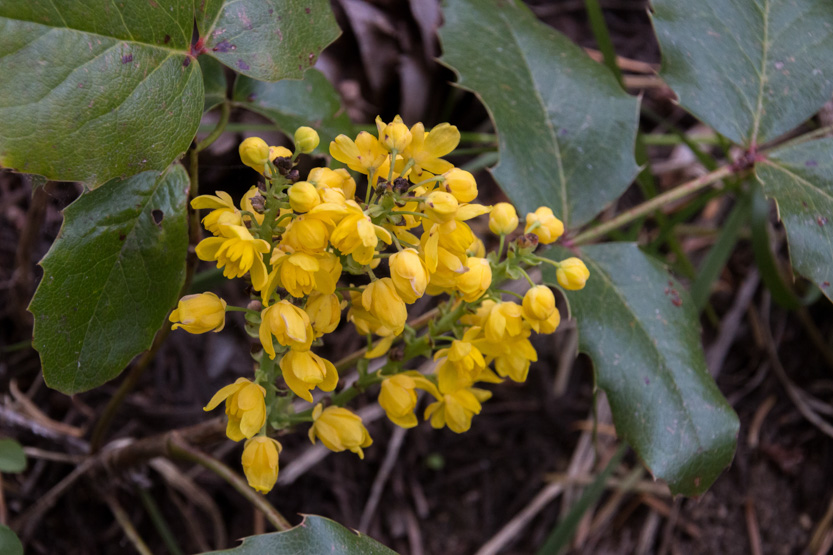

Then the trail just became a narrow ledge along the open slope.


A photosphere.


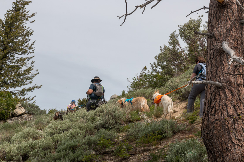
The only other people we saw were these three and their 6 dogs.
Lunch time.
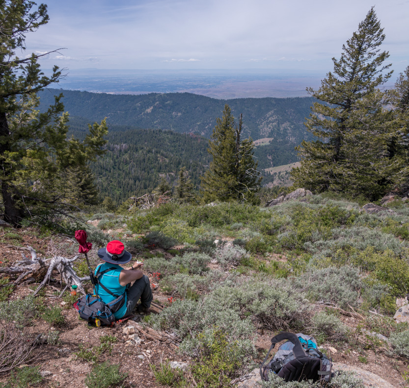
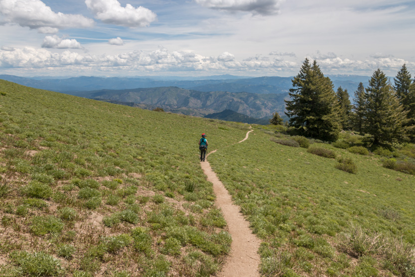
At the top of the loop we crossed the western face of the mountain through an open meadow.
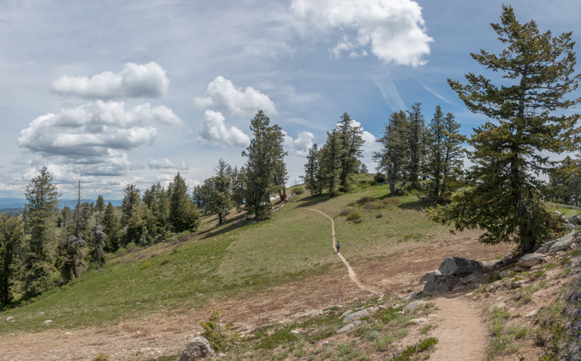
A photosphere.
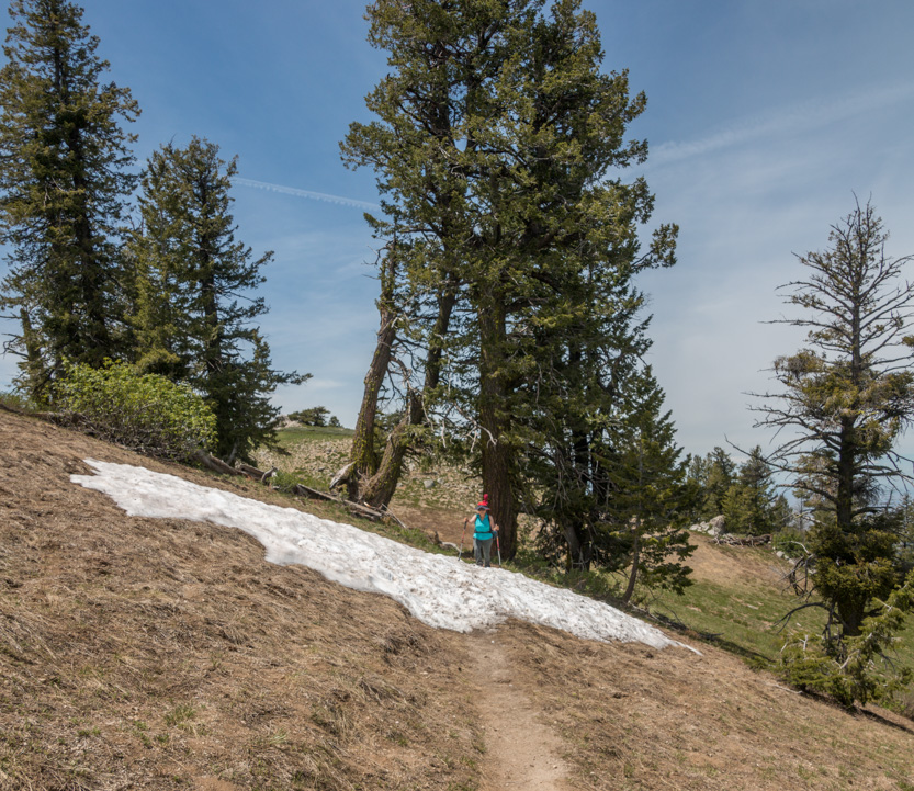
There was even a small patch of snow.
The northern face was another open meadow with great views of the mountains farther north.
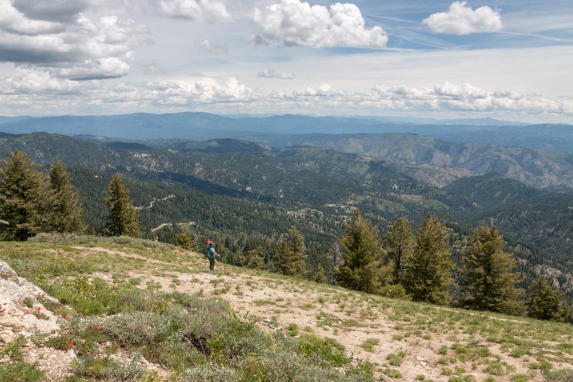

Another photosphere.
Then down some switchbacks and into the forest for the last section, to complete the loop.

And then the long twisty drive home. Jennie tried to sleep but her head kept bobbing back and forth.
No comments:
Post a Comment