There are going to be a lot of waterfalls pictures while we are in Twin Falls. We hit three more today.

First up was the hike to Pillar Falls. While we could drive to the viewpoints for the other falls, this one was real work. The trail is only about 1/2 mile long but it drops 480 feet in elevation, mostly in the first 1/3 of the trail.
The Google Earth view.

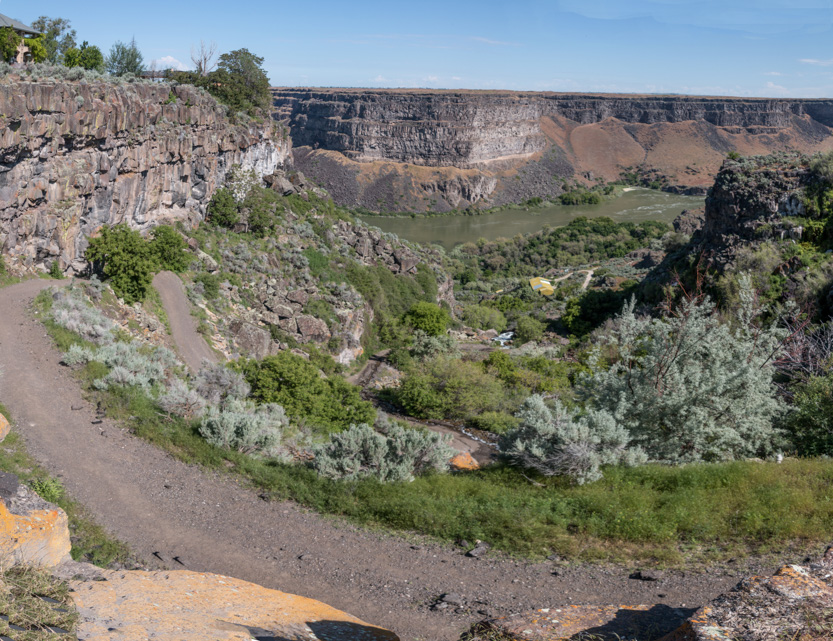
The view from where we parked the car. Lots of zigzags.
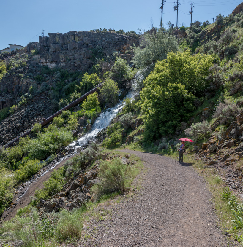
There is a cascade of water flowing down beside the trail that seems to be the outlet for an irrigation canal. It had a slight odour to it.
Down we go.
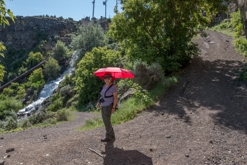
It was steep. I would guess the slope varied from 30% to 40% and because it was loose gravel even going down was tough because we were always slipping.
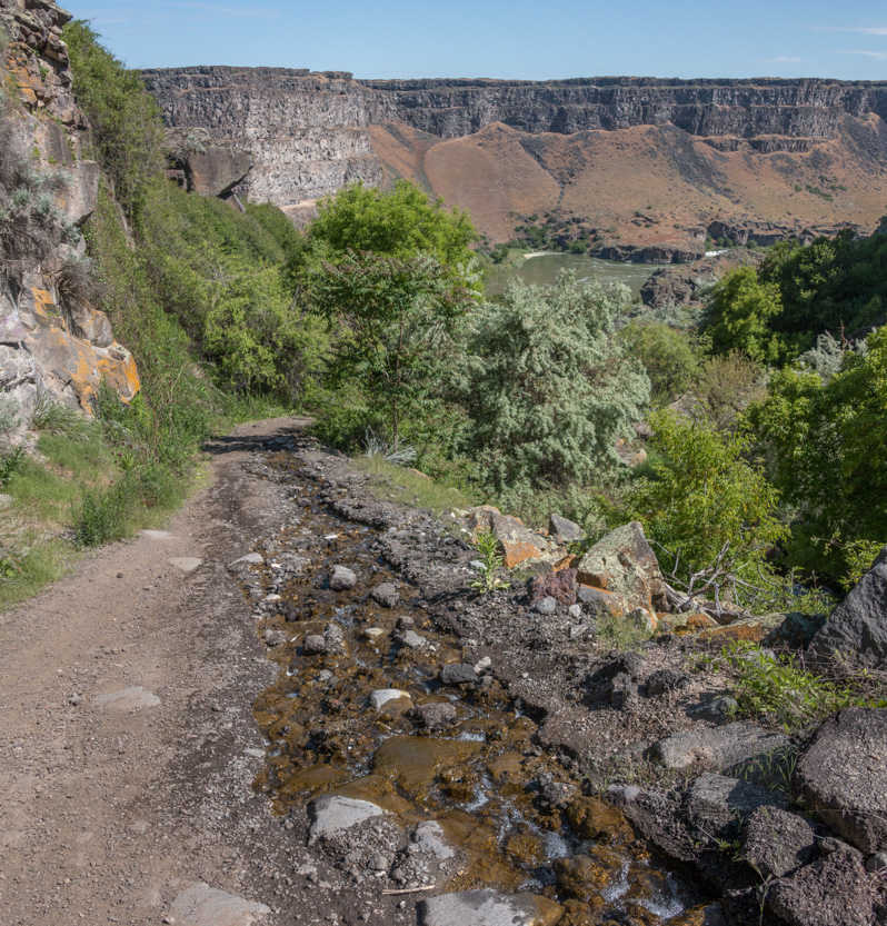
There was so much water flowing that it overflowed onto the trail. This actually wasn’t a bad thing for us because it broke up the smooth surface and gave up almost stepping stones to get down.
We crossed over a culvert.

This snake startled us. It didn’t move as we approached so we thought that it was dead but as soon as Jennie passed by, it suddenly slithered off.

Of course we had views of the bridge.

Finally down the zigzags to a view of the huge layered cliff on the opposite wall.

Looking back up the canyon wall. Jennie had stopped for a flower pic.
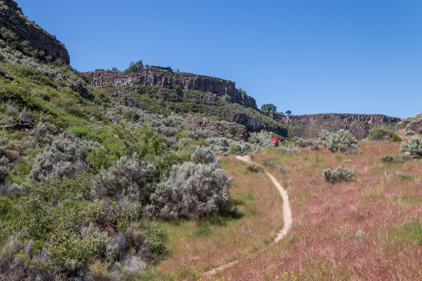
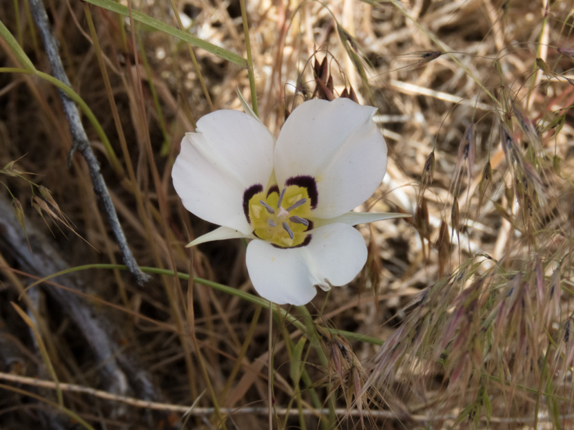
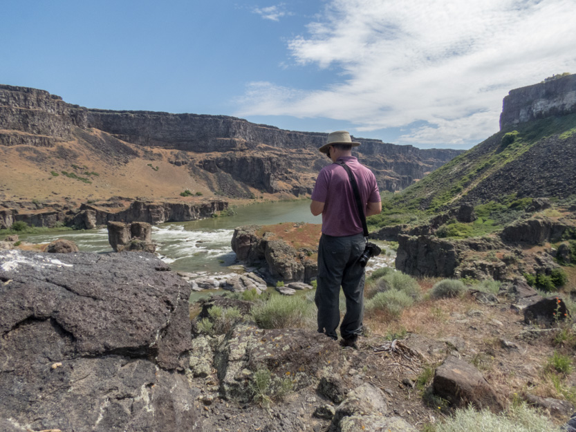
There was a rocky outcrop that blocked our view of the falls for the lower part of the trail. We climbed to the top and used it as our rest / lunch / turnaround spot. The trail continues down to the water but we wanted the high view.
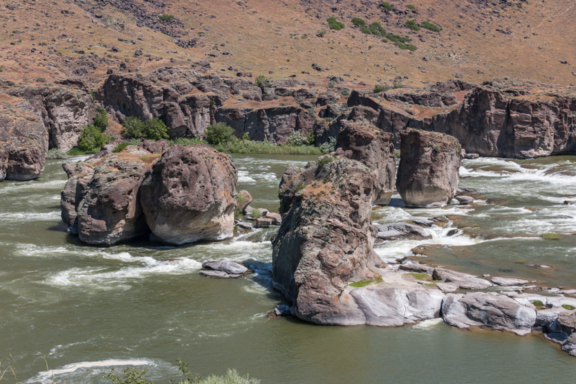
Our first look. I wouldn’t really call them falls right now. They say that there is a 20 foot drop but there is so much water that it just looks like rapids.

Then from our lunch spot, a bit higher up, with Jennie still down below while I checked it out.
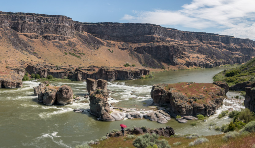
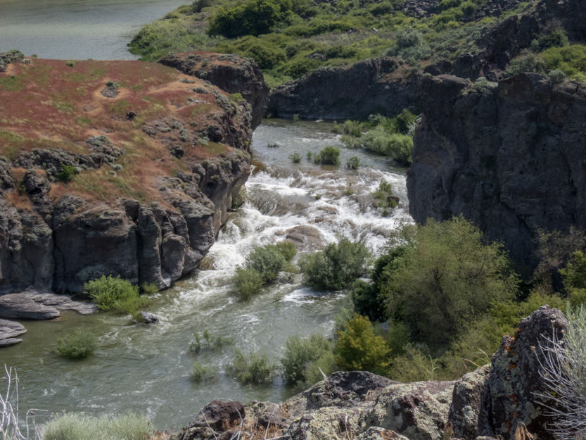
I had figured that there wouldn’t be a lot of people around so I brought the drone for the even higher view.
A more middle of the river view showing the pillars a bit more separately.
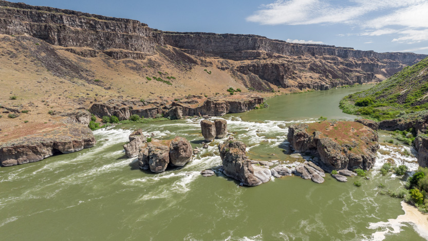
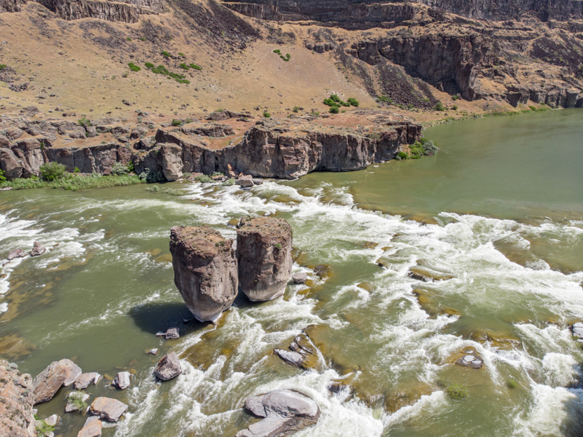
Looking down over us.
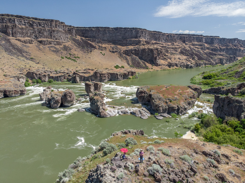
From even higher.

I lost track of the drone again against the canyon walls. I have got to practise figuring out where it is from the video feed. Here I am deep in thought (and a bit of panic).
I have been taking the drone equivalent of the phone camera photospheres but once I upload them to the drone companies website for display it seems to take at least a day for them to be processed and work properly when accessed from my user page. The image shows on the page but if you click on it to view it all you get is an error. The next day it will work.
The day’s delay makes it pointless to add a link to a post that will be viewed by people the same day. Once they do work I go back and add a link to the post.
Here is a link to the one from today while over the falls. And just to prove me wrong, today’s seems to be working now.
And here is a link to my user page where you can go and look at all the previous ones. Do check out the one from Flaming Gorge. I really like it. Be sure to full screen them.
Here is the phone version of the photosphere.
Looking back up the trail, dreading that long climb.

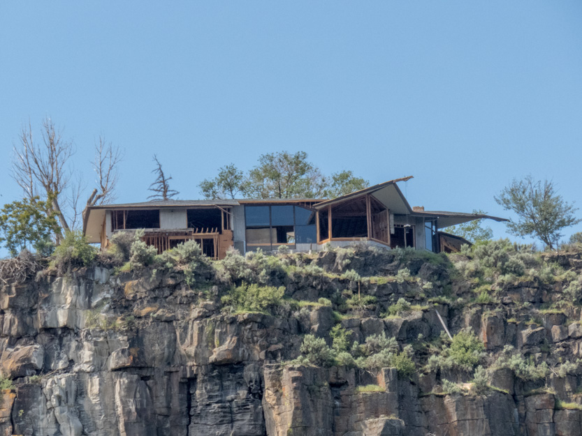
Someone is going to have a great view once the house is complete.
Our westward view towards the bridge.

Off and up we go.
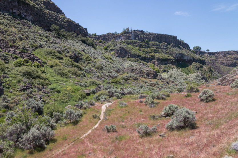
Let’s just say that wherever there was shade, we had a long rest.
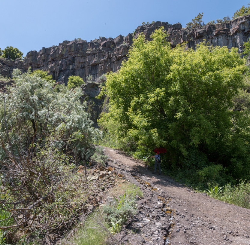

There seems to have been an old generating station here and this trail was the road down. At one time it had been paved but it is all broken up now.
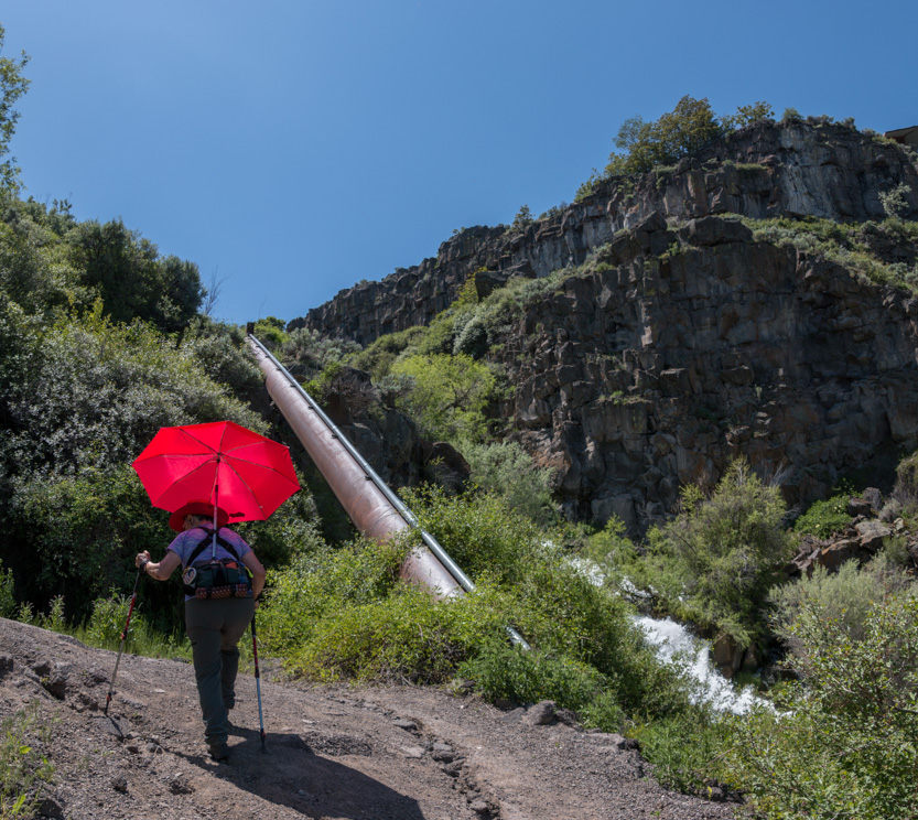
Any excuse to stop and take a picture.
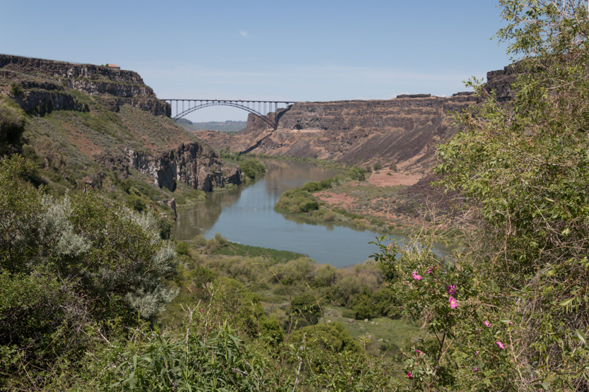


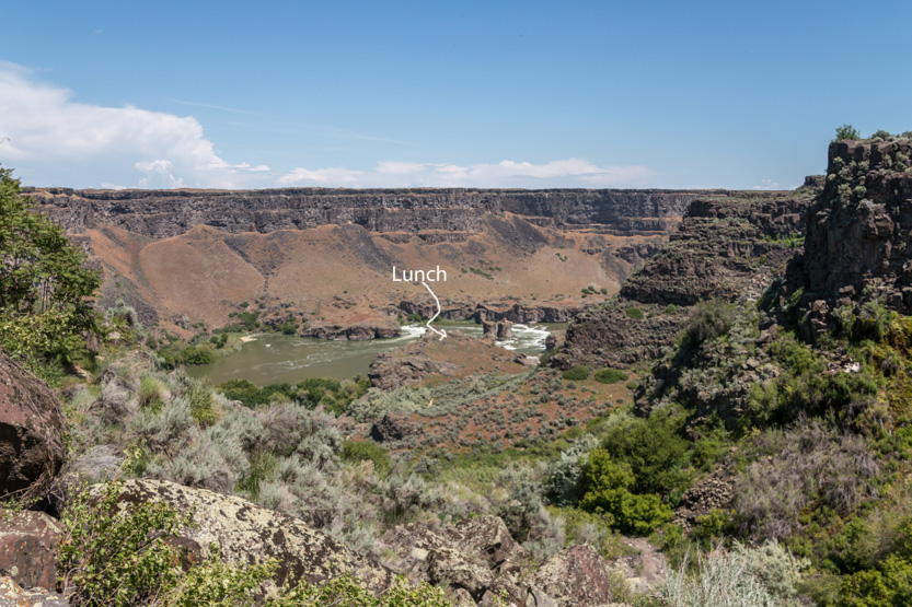
Almost there.
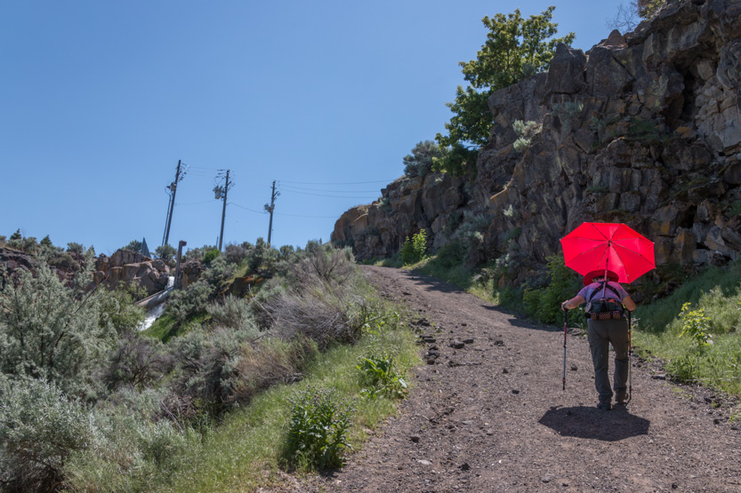
The jug of ice water and the air conditioning in the car felt wonderful.
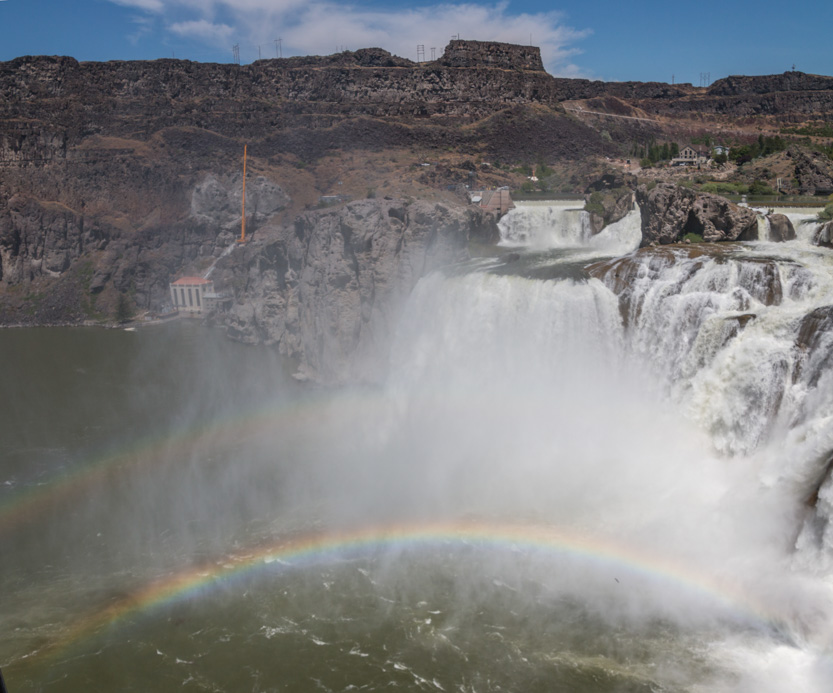
On to Shoshone Falls. They are billed as the Niagara of the West and shown on just about every Idaho tourist brochure. They are quite beautiful.
You must pay $5 to enter the park and drive right down to the viewpoint.

The sign at the entrance said that this was a middle flow level. It seems like a lot to me.

A nice double rainbow.
Jennie tried to convince me that this outcrop had a face on it.

I guess so.

She loves to take water pictures.

The photosphere.
There was another viewpoint at the brink of the falls.


The falls view was not great but we could see downstream and the structure of the other viewpoint.
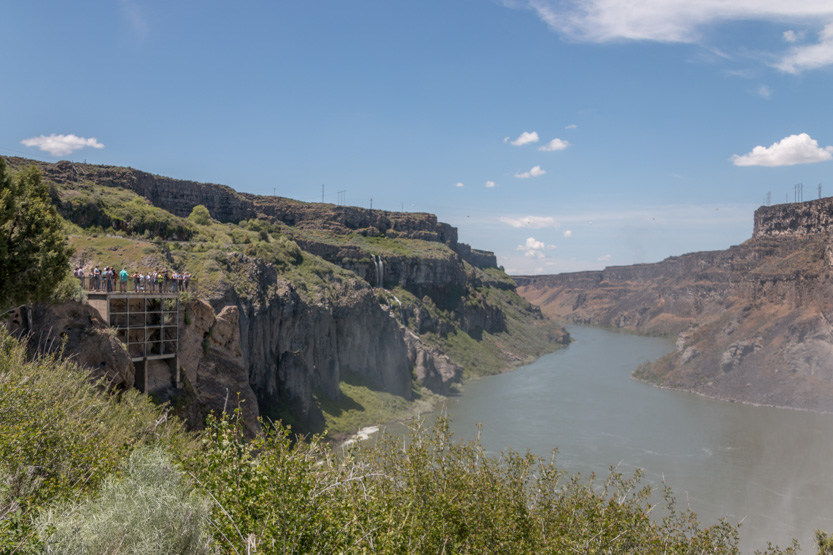

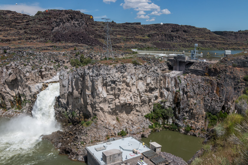
And then just to be complete, we drove the short distance to see the Twin Falls for which the city is named. The only problem is that they are no longer a twin falls as one of them was blocked up and used to build a hydro electric power generating station.
The view from above.

And a close as we could get. Two would definitely have been better.
And finally home. The hike (and the heat) really wiped us out.
Every afternoon we seem to be surrounded by some rather dark clouds but have yet to be rained on.
A photosphere from the RV park.
No comments:
Post a Comment